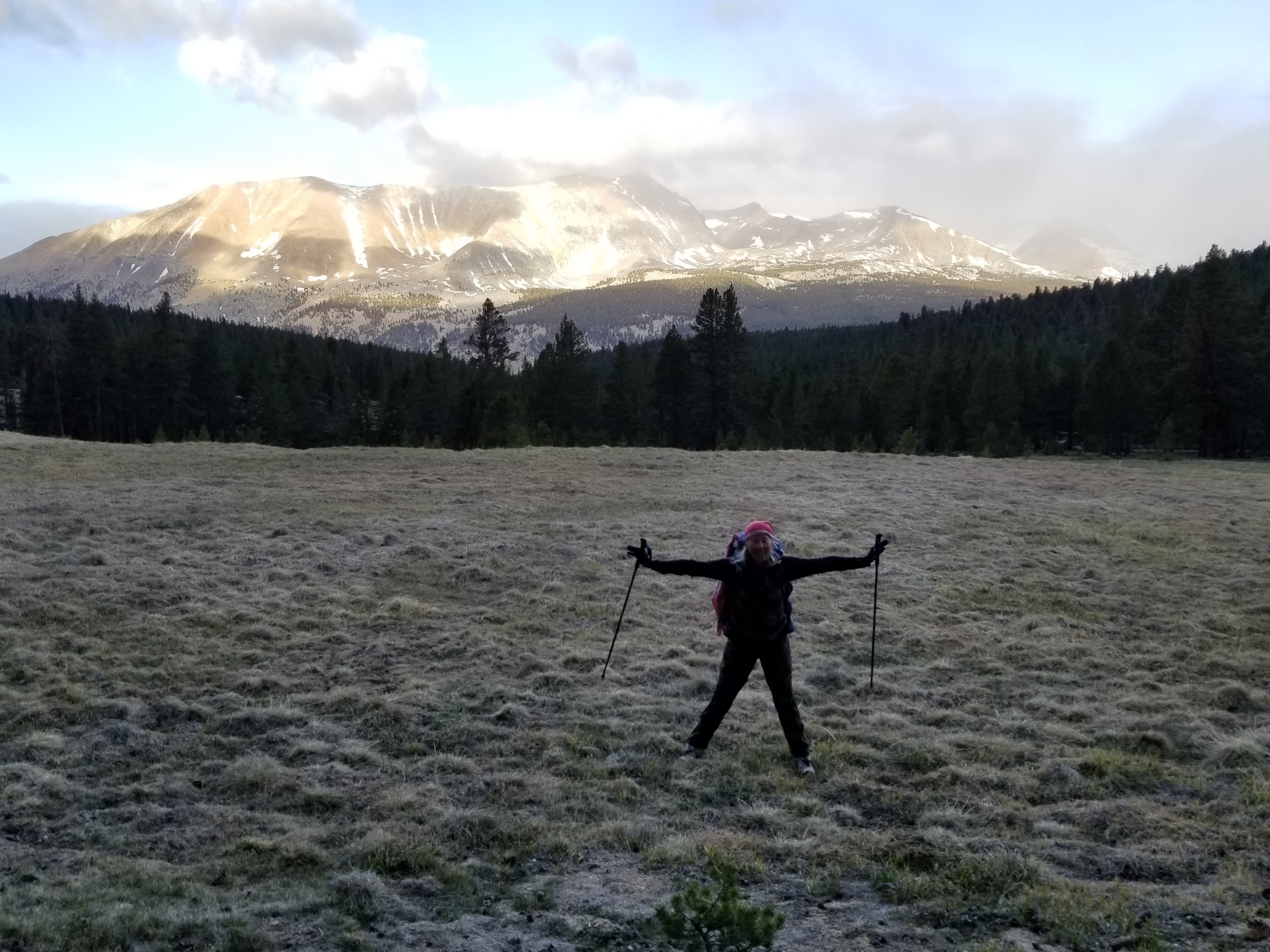
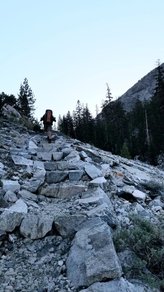
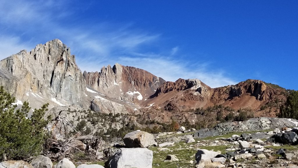
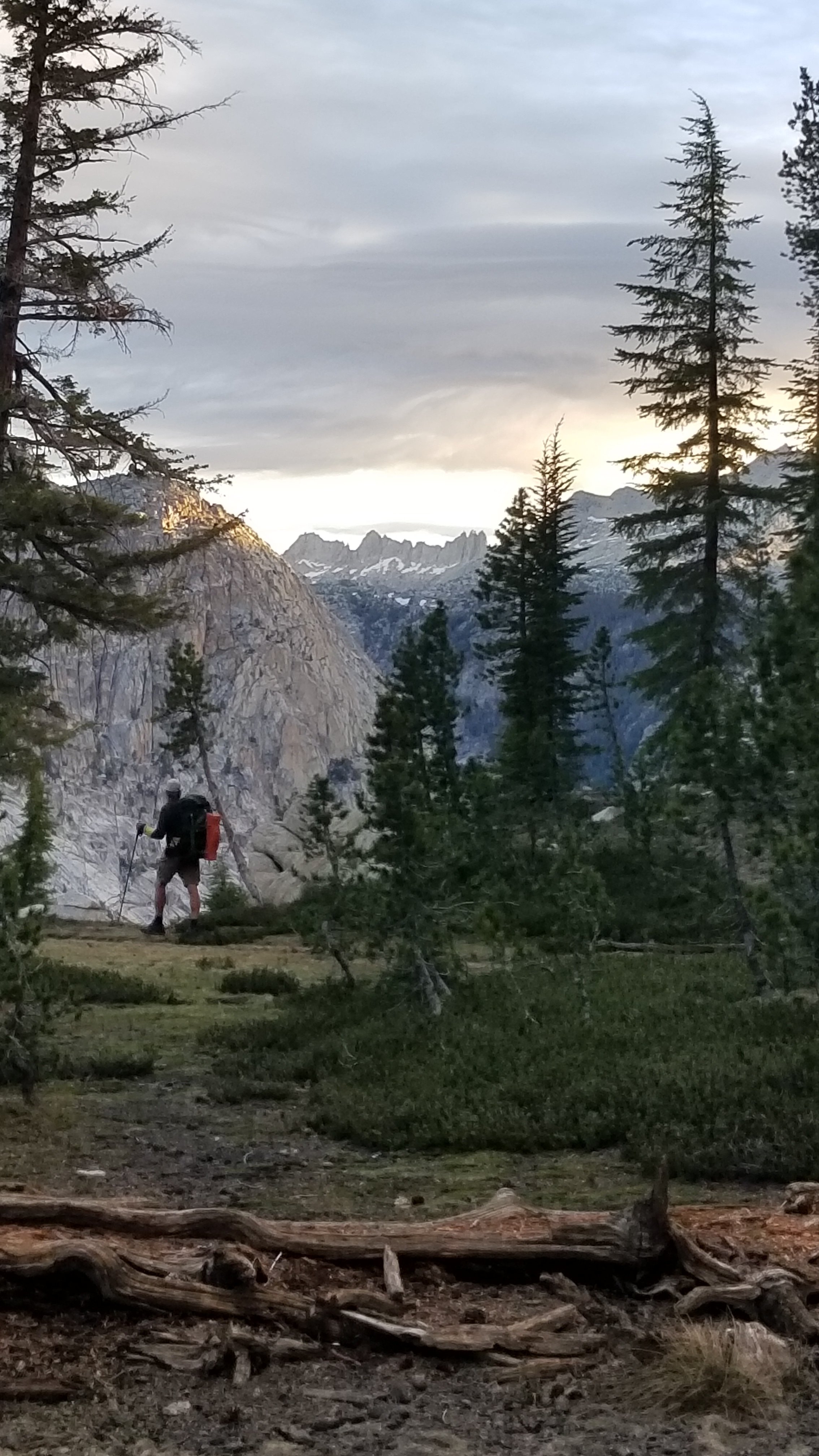
LONE PINE ( mile 789) to SOUTH LAKE TAHOE (mile 1090). It is hard to leave the comfortable small town of Lone Pine with its powerful mountainous views but we do. A shuttle takes us to the Onion Valley Trailhead which after a 7.5 mile uphill climb on gentle switchbacks gets us back on the trail. The saving grace of the effort is the beauty found along this bit of uphill as we move from desert valley to high Sierra.


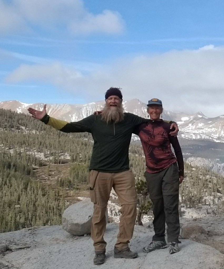
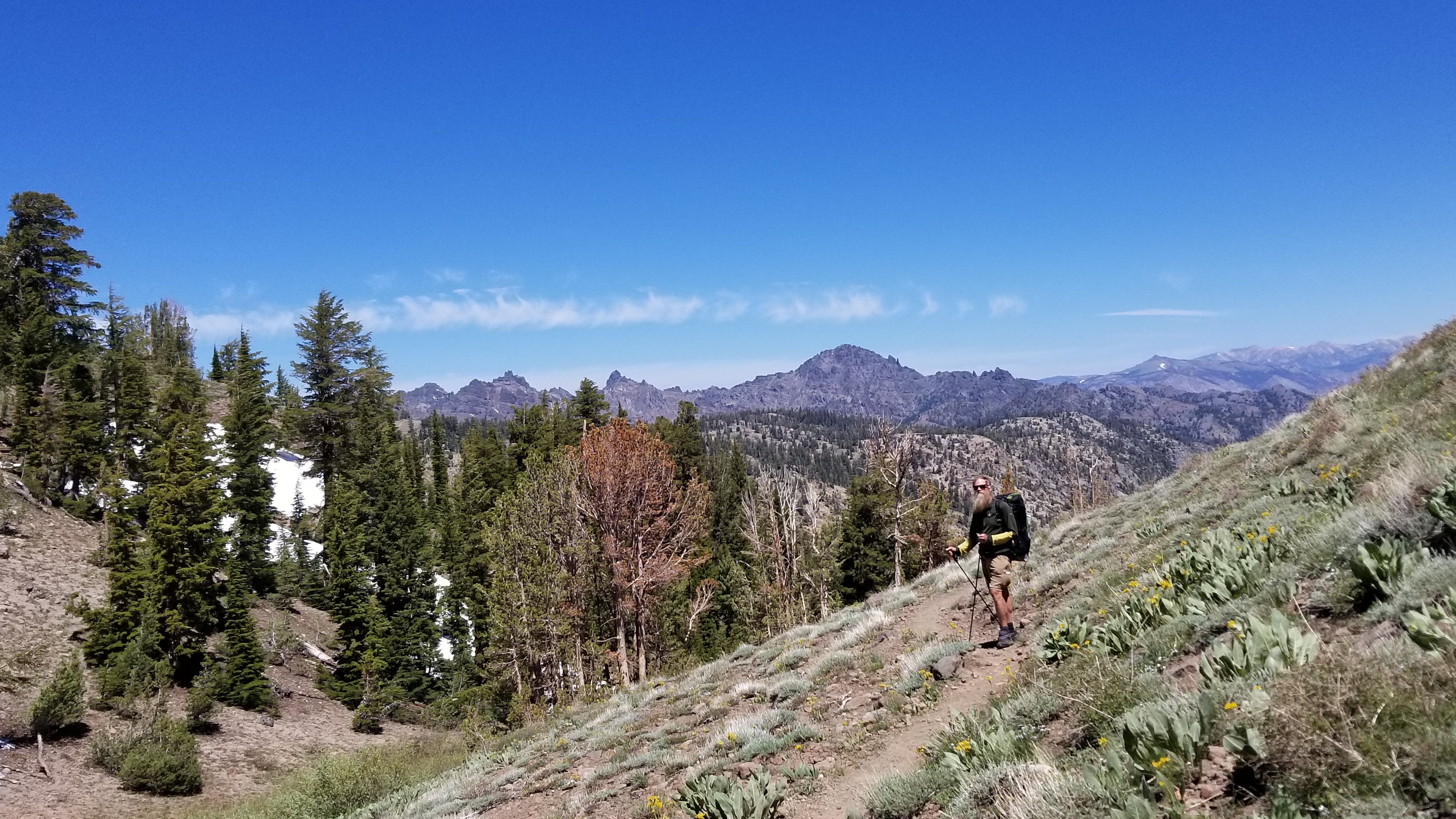
This stretch of the path moves along the famous John Muir Trail. How appropriate that this gorgeous and challenging section honours the driven man who pushed for its protection. We learned so much here. Learned about personal limits, our perspective, and what is important to us while doing this hike.
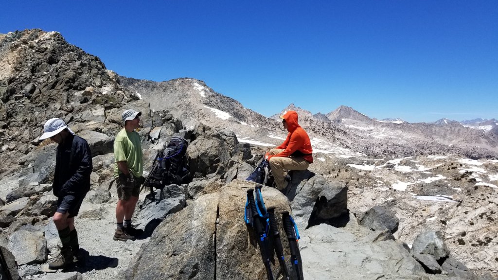
There are 6 high elevation passes to do, all with their own character. After remounting from town on the Kearsarge pass (11,760′) we continued onto Glen pass (11,957′) before descending through 1 mile of snow. We felt accomplished at this point having done 2 passes in one day. We had energy fresh from town and were encouraged for what was to come.
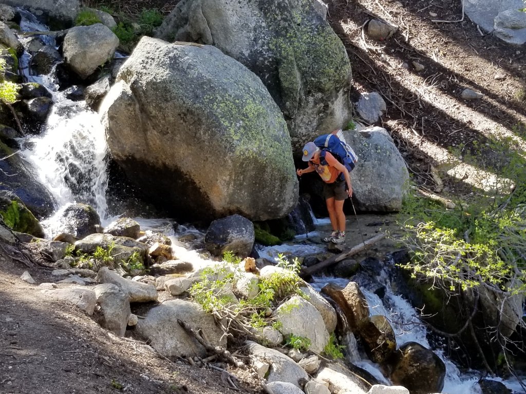
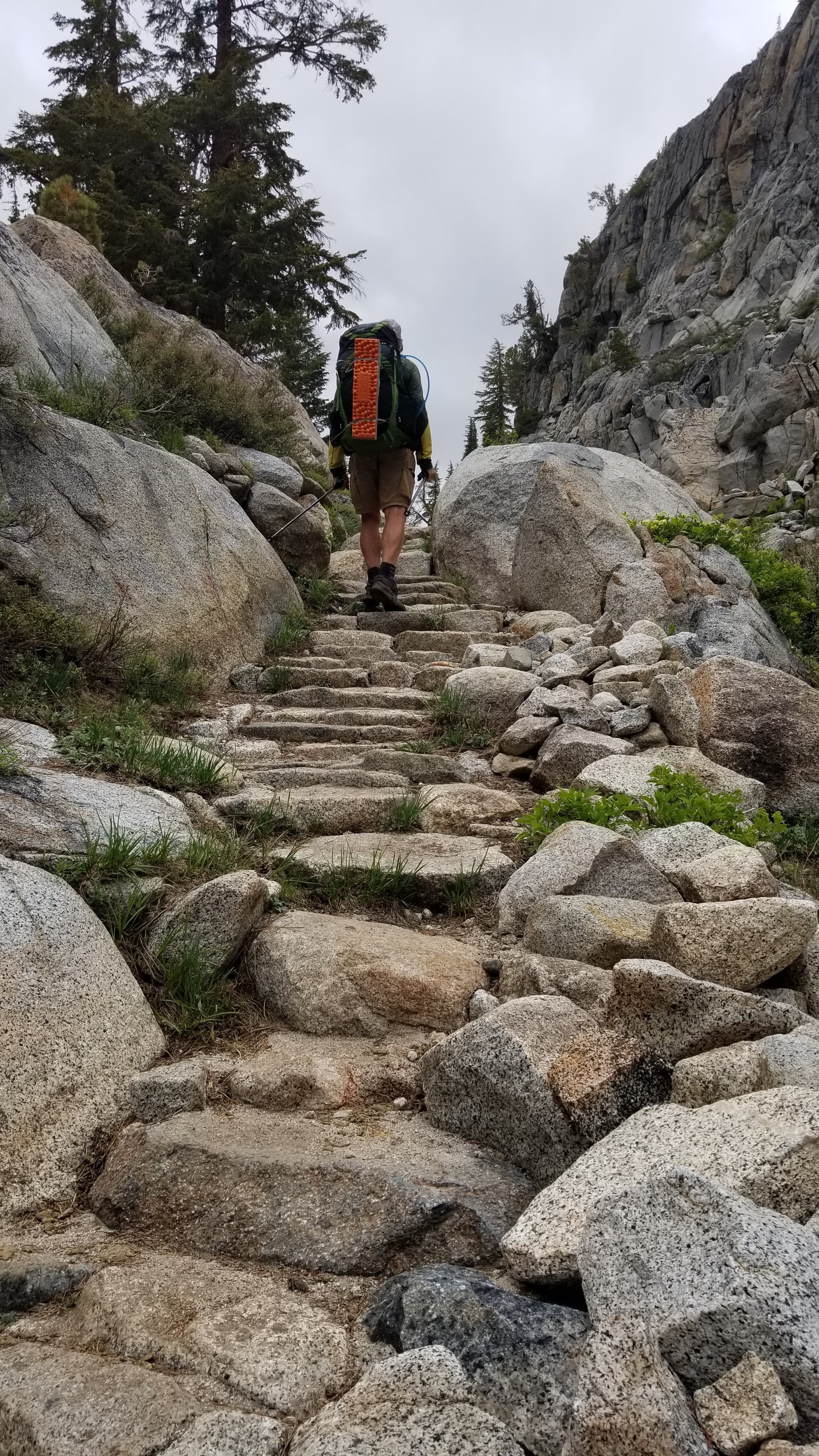
This feeling of accomplishment quickly diminished the next morning as we trudged our way up Pinchot pass (12,122′). How could this feel so hard?? The trail climbed continually for 7 miles, yes at a decent grade but with frequent to constant tall rock step ups built into the trail. These redirect water flow from damaging the trail and gain elevation quickly. THEY ARE TIRING! The oxygen needed to engage the big muscles (glutes, quads) is noticed. Like slugs we discouragingly made our way up in contrast to the enthusiastic volume of water running and dancing beside us.
After the fact, we strategized that camping close to a pass the day before gains momentum for the next day crossing.


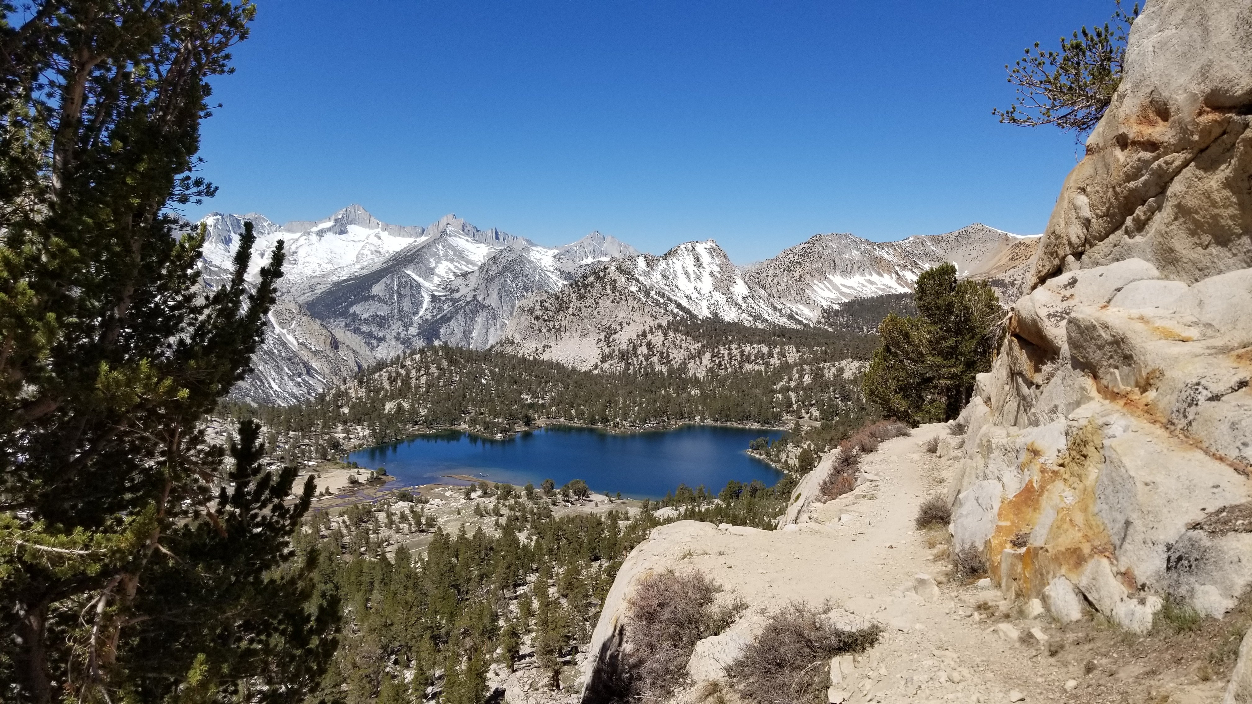
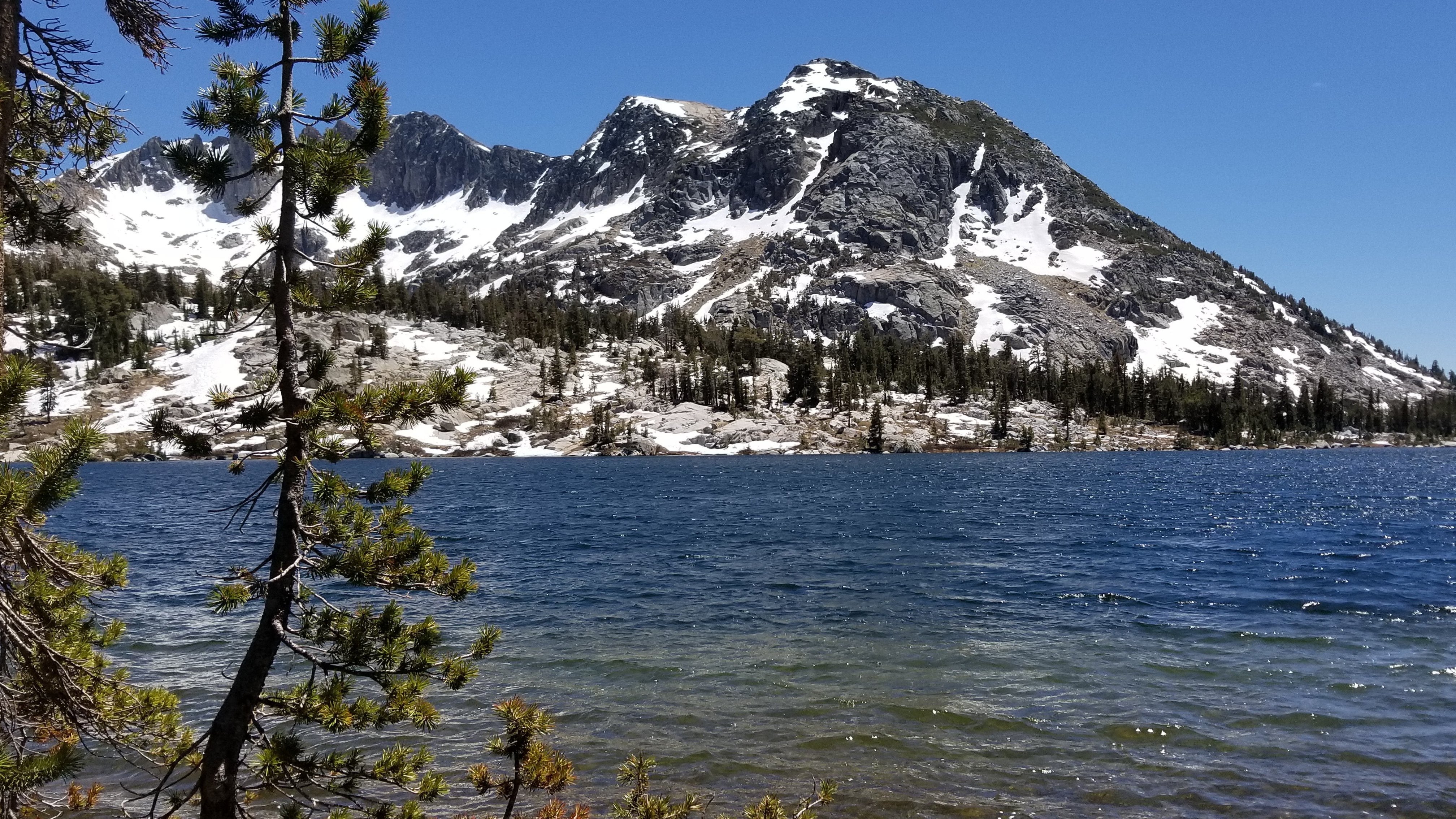
Descending from Pinchot pass (12,122′) led us past thawing lakes and groups of hikers snacking to recover.
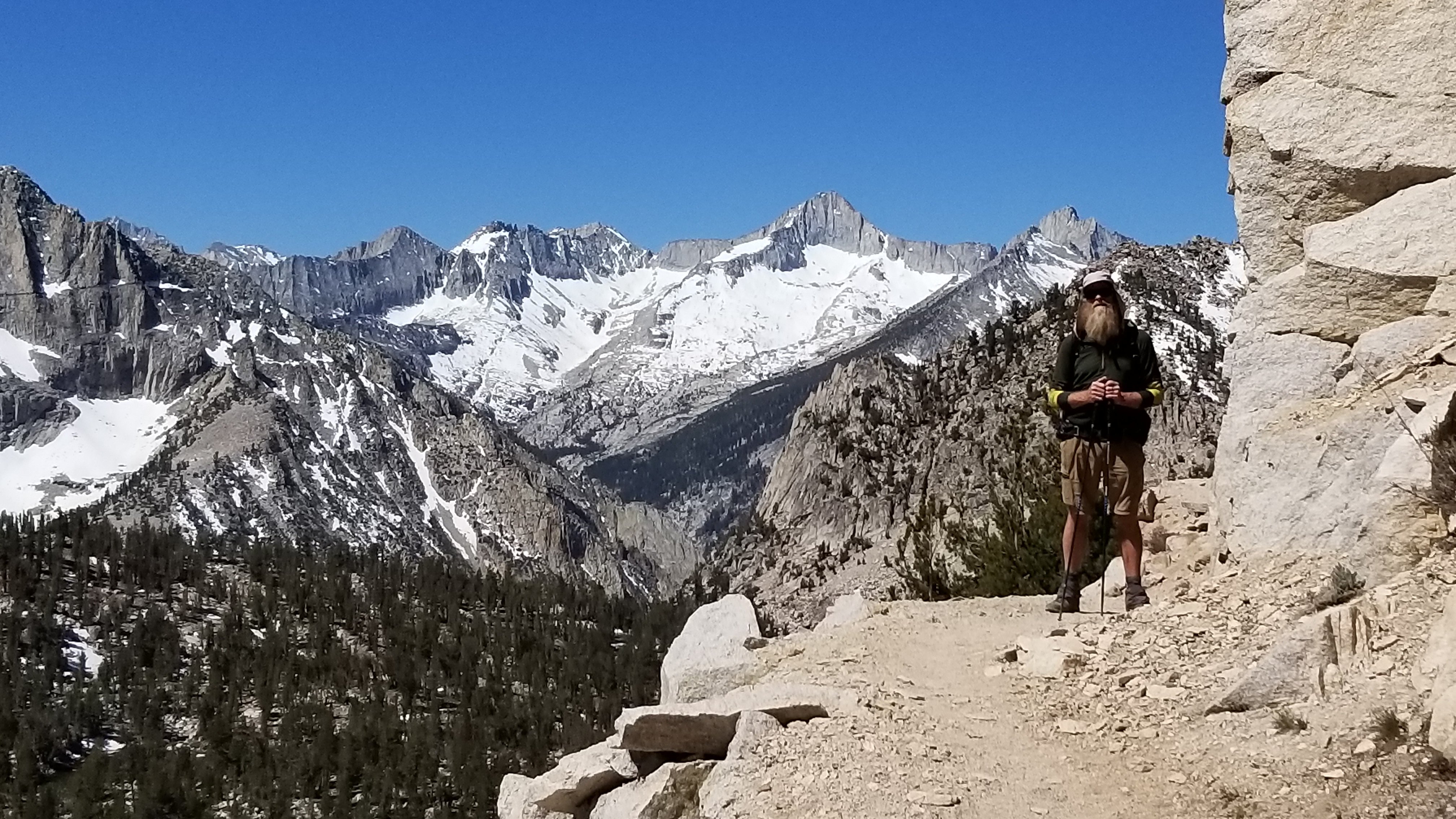
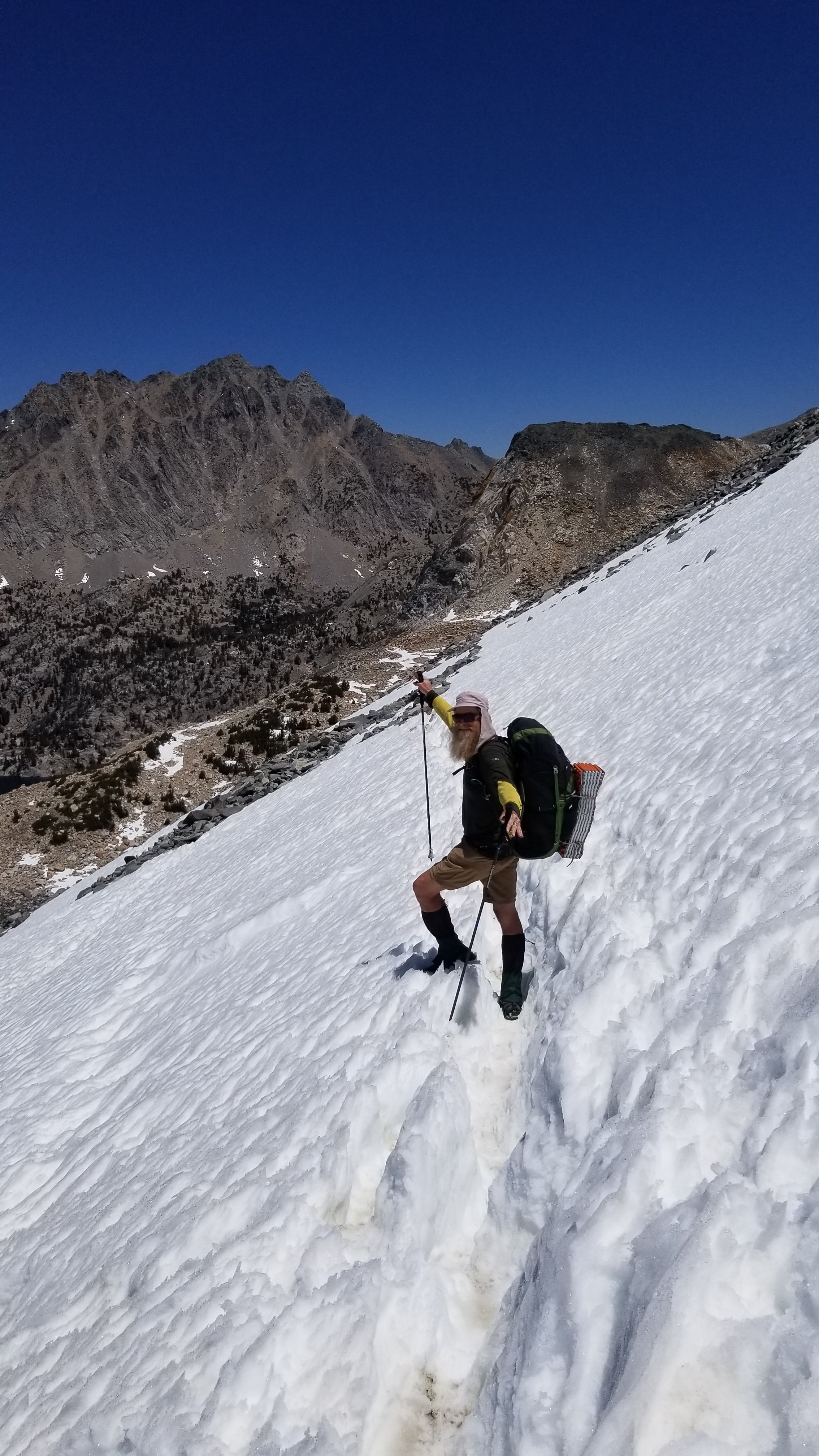
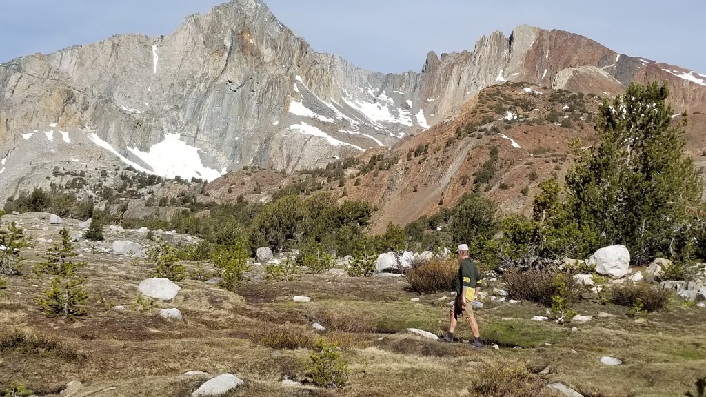
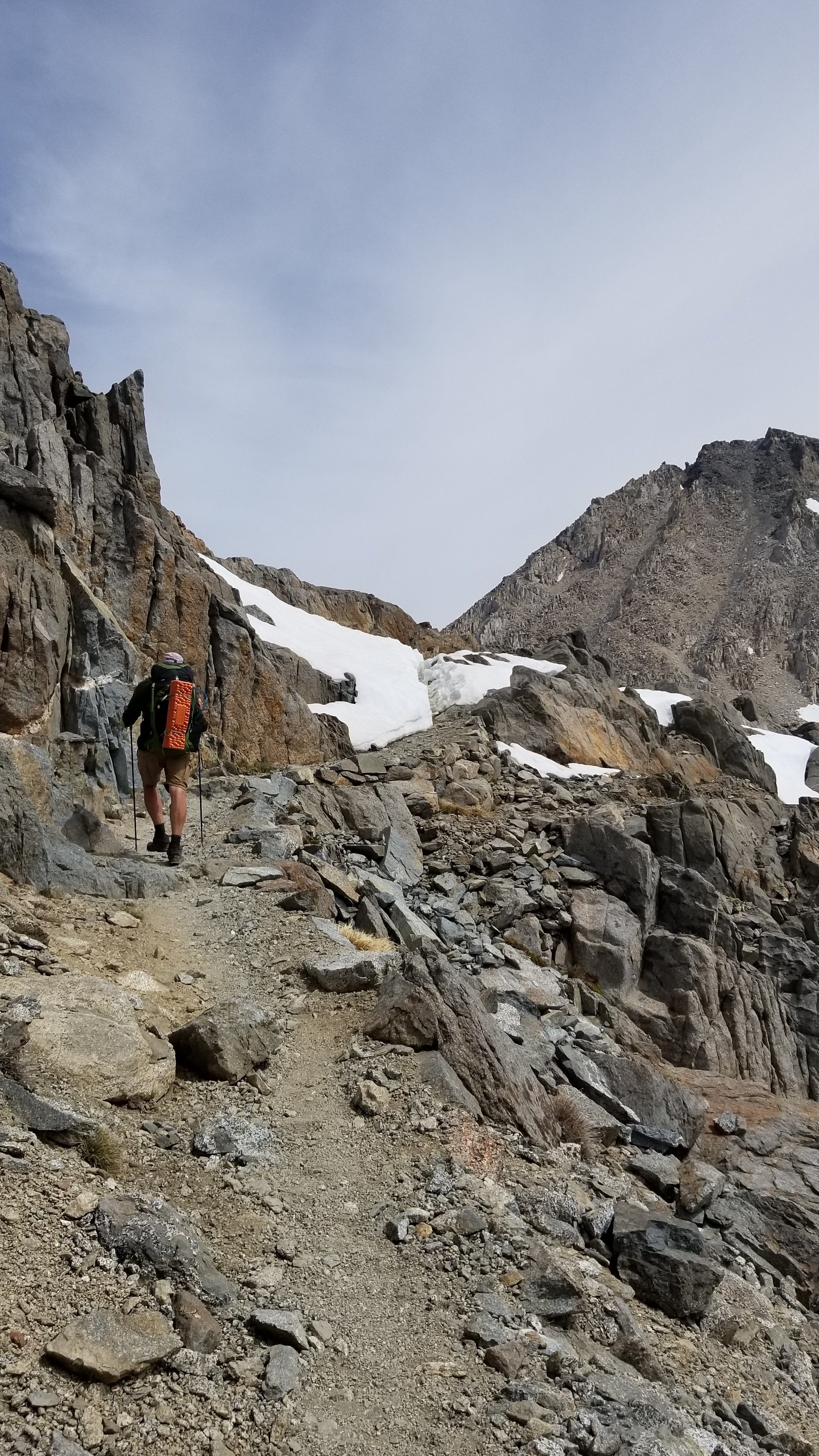
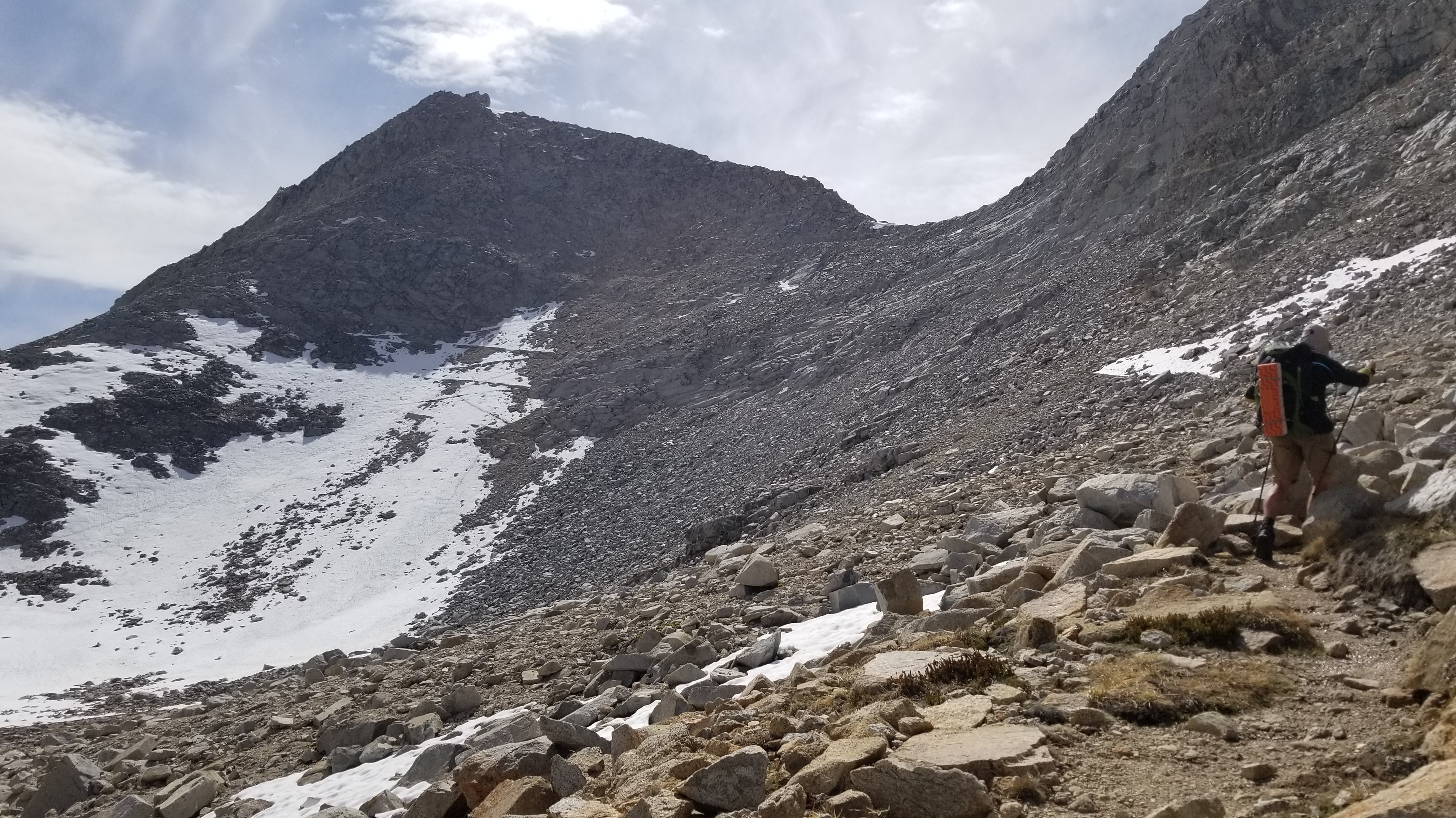
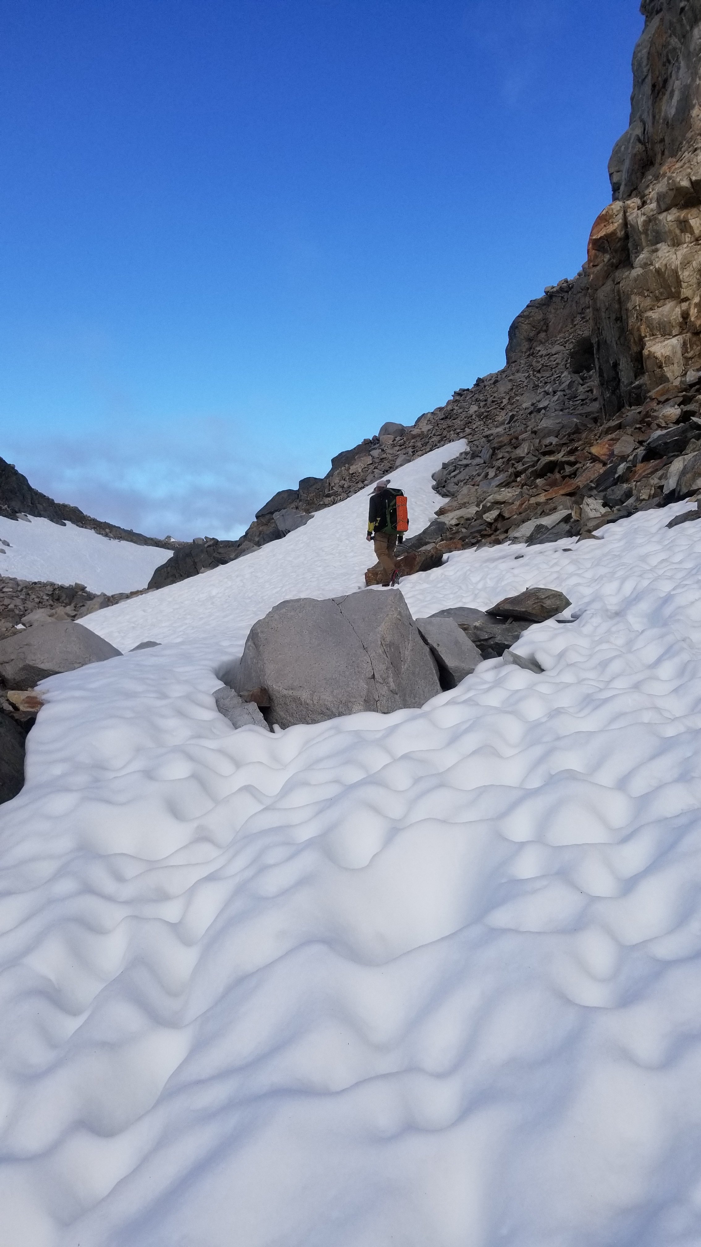
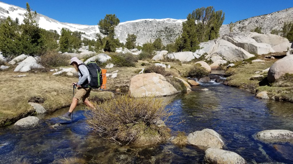
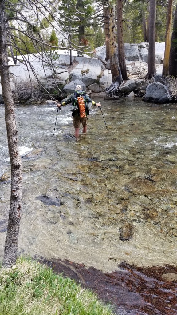
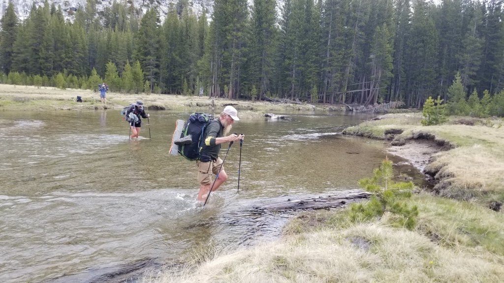
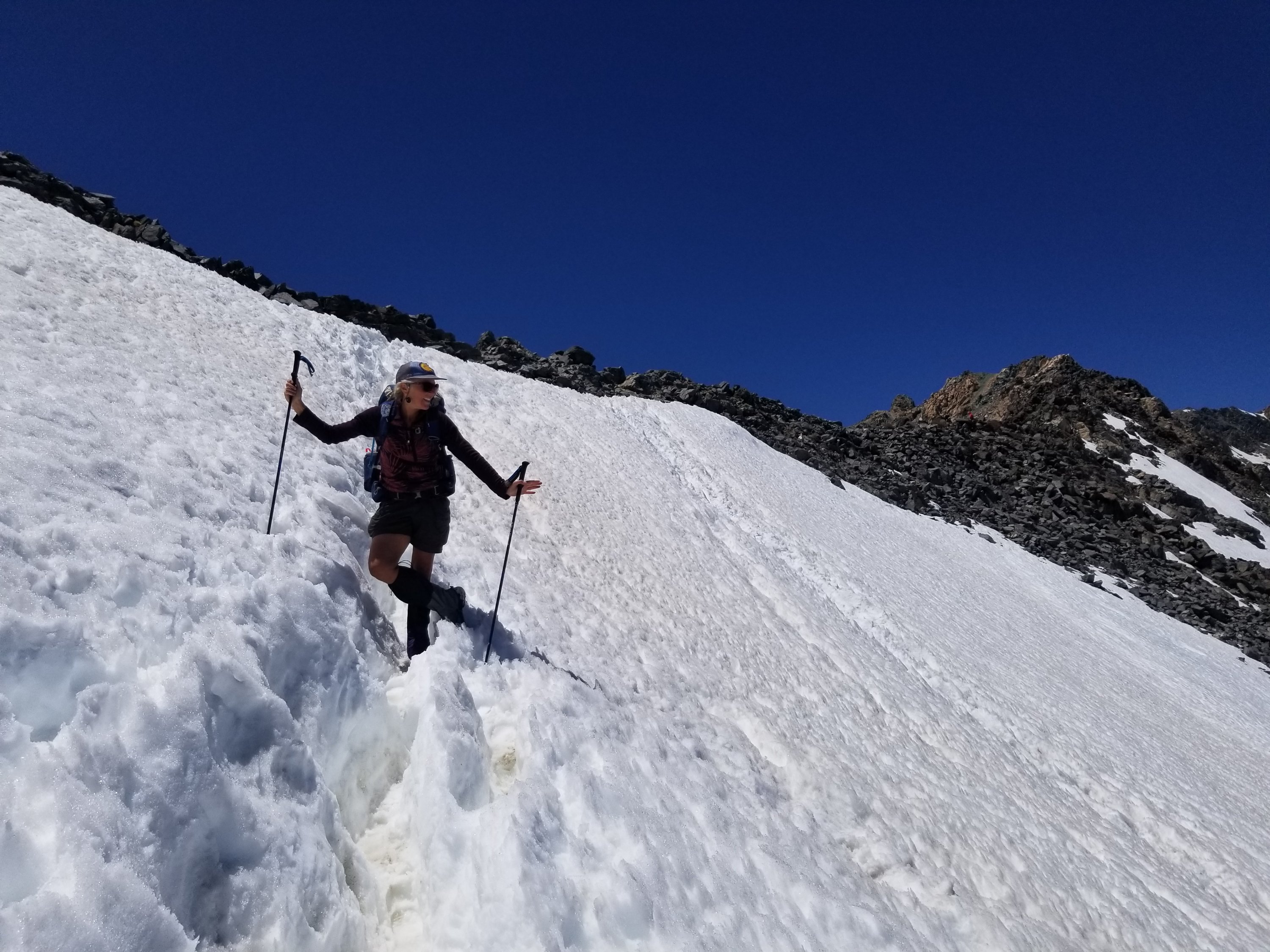
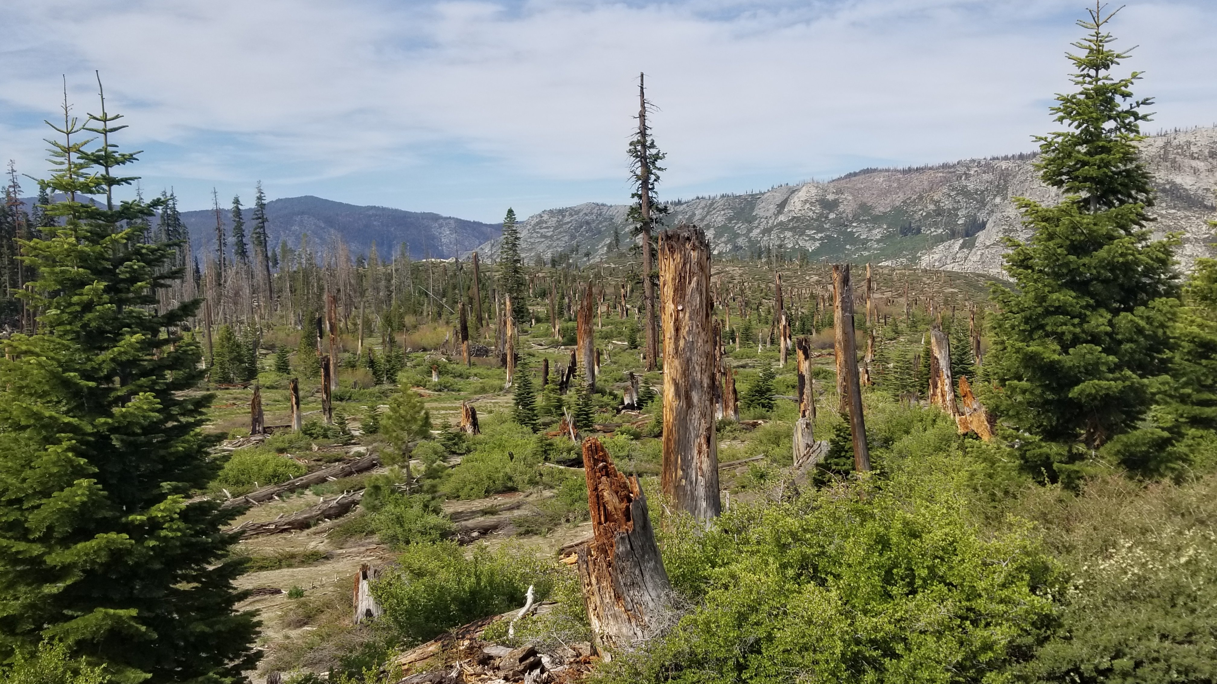
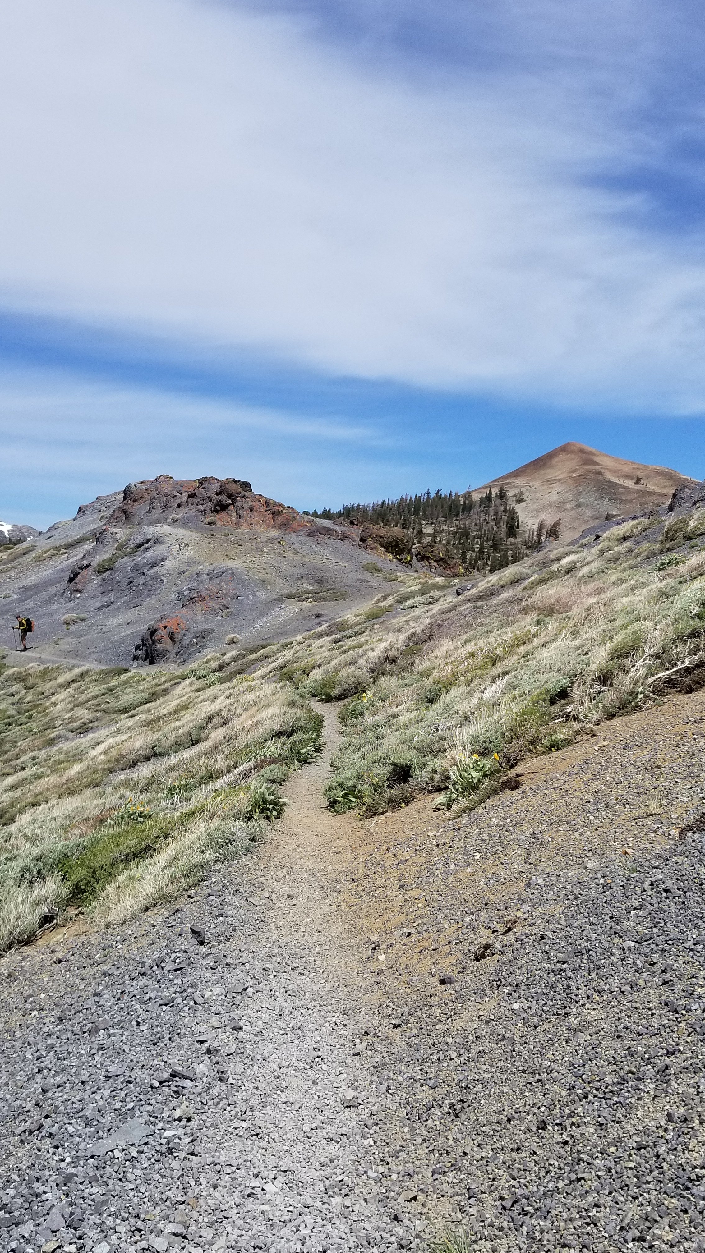
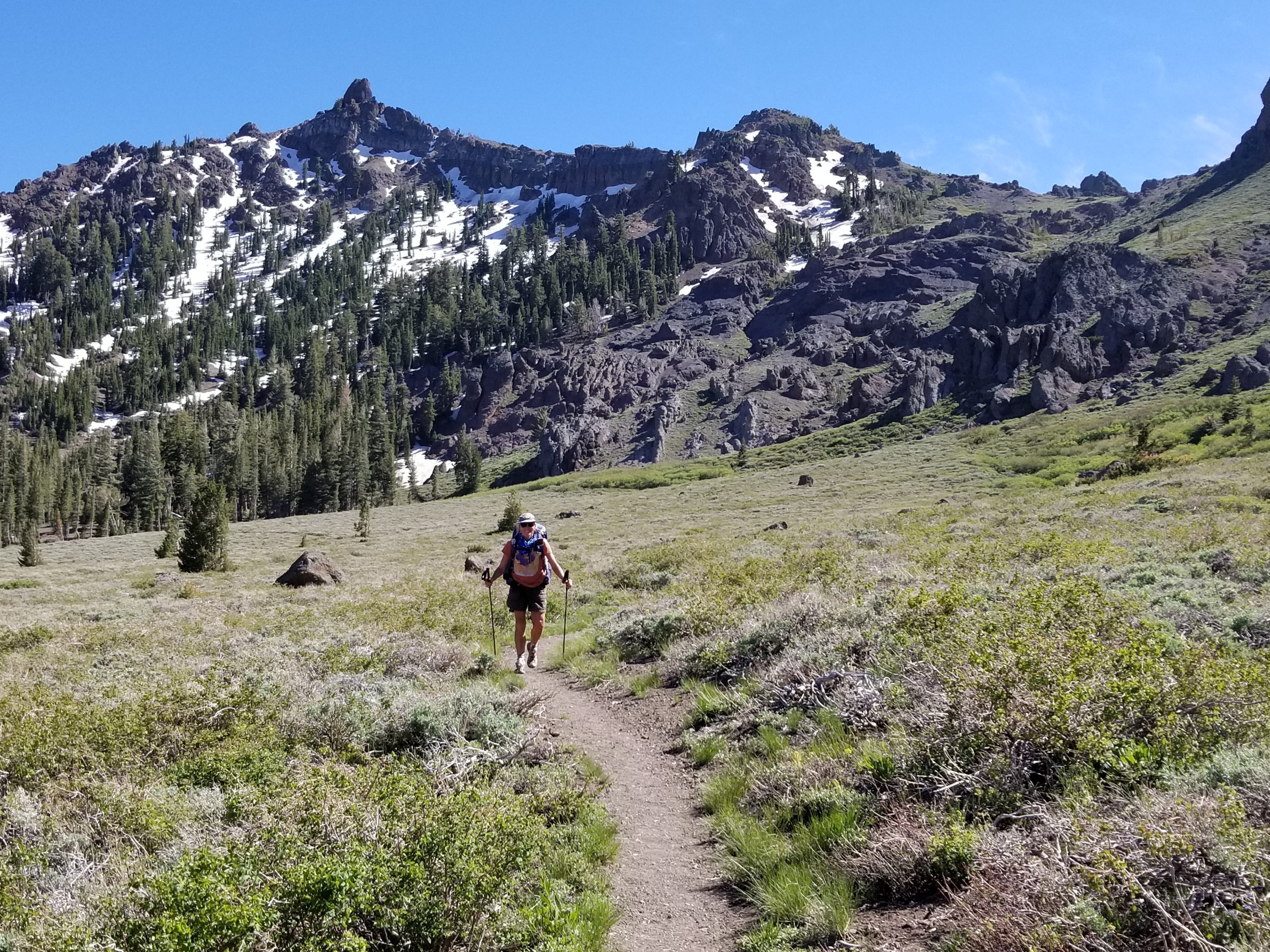
We continued…it felt good to be descending and so through the valley and across many creeks we went and before we knew it we began ascending tundra-like landscape with few trees. This tundra scape ended at the foot of Mather pass. Although it only took an hour to climb Mather (12,094′) its toll was not in time but in fear. I do not do well when facing a rock climbing situation especially in the snow. I freeze and can’t look up or down and must talk my way through. NOT FUN for me! But so many others found this climb exhilarating. Fears are a personal thing. I faced some of mine here. Snow had not left the steep face and the blasted switchback trail was not obvious in the lower half so hikers had created their own mash of vertical paths. We chose the most defined.


Now it was late in the day to descend in soft snow with no established route down. We had to watch for postholing (when legs go through deep into the snow) as injuries are common. After a 13 hour hiking day, another 2 pass day, we found a campsite. It was a successful but costly day on physical and emotional energy.

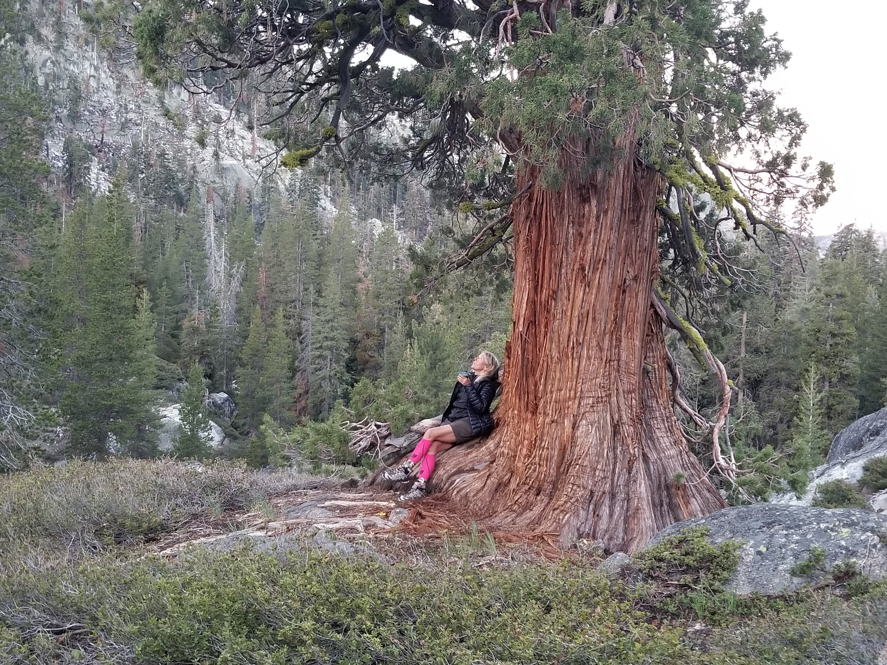
I questioned about my reasons for being on this trail the next morning. I thought that risk taking was not on my agenda. Should I leave? What is ahead? I decided that our laissez-faire approach; let the trail bring what it may each day, does not work for me in these mountainous areas. Our strategies changed to more control (knowledge and planning) for what lay ahead. It is curiosity and the inspiring beauty of nature that keeps me here. I have been humbled and crumpled by these high alpine mountains.

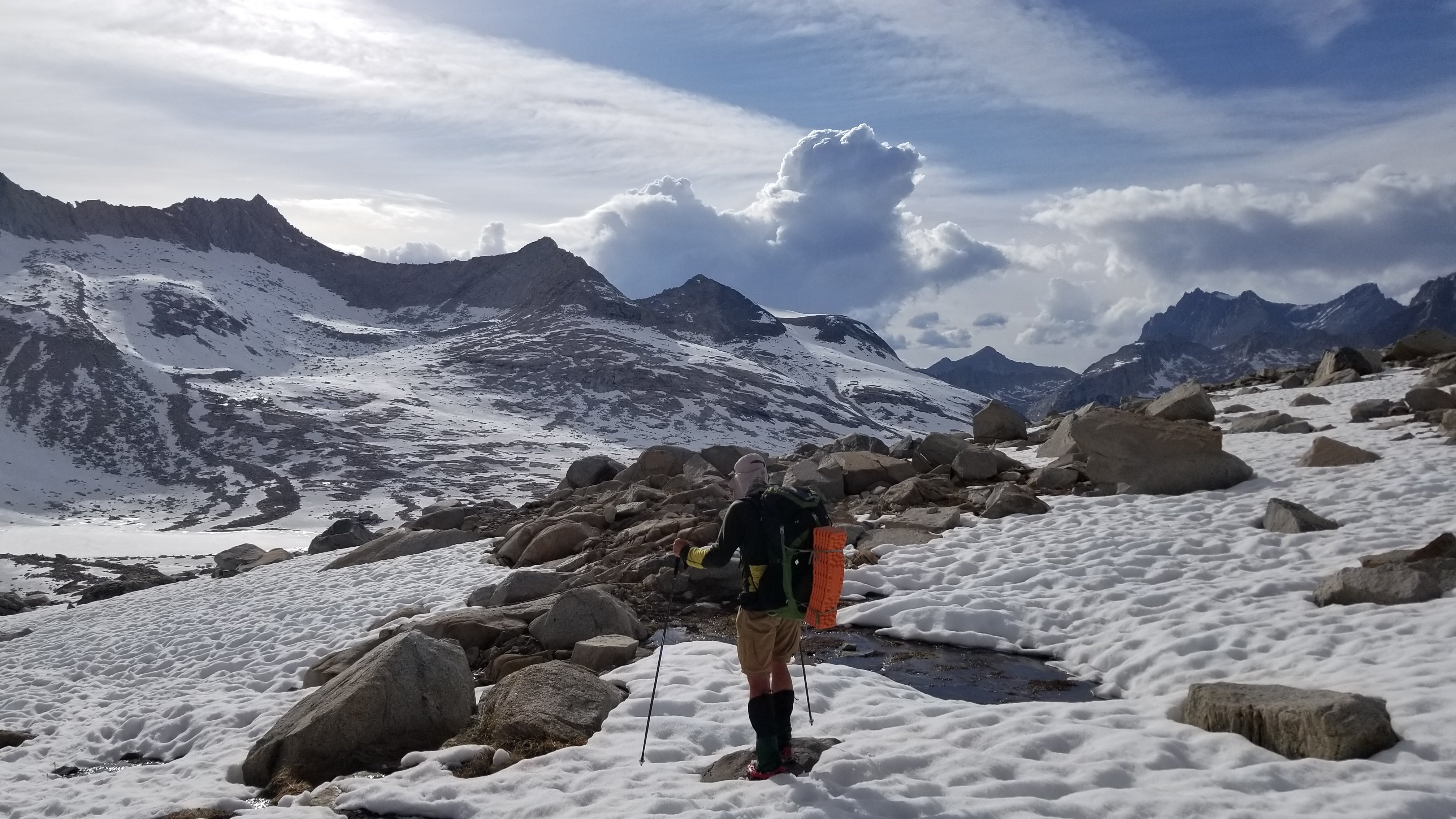
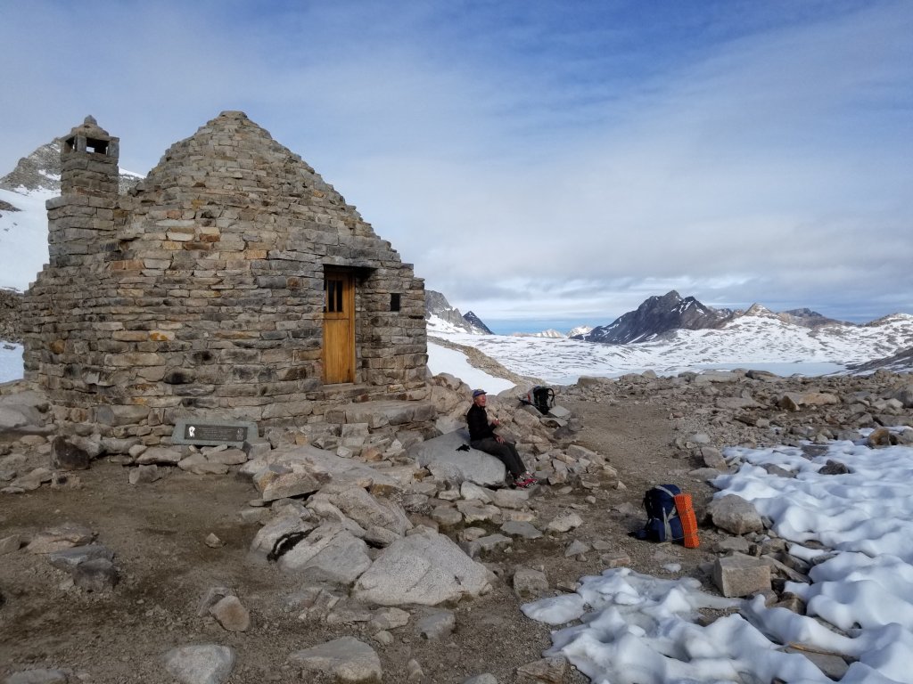
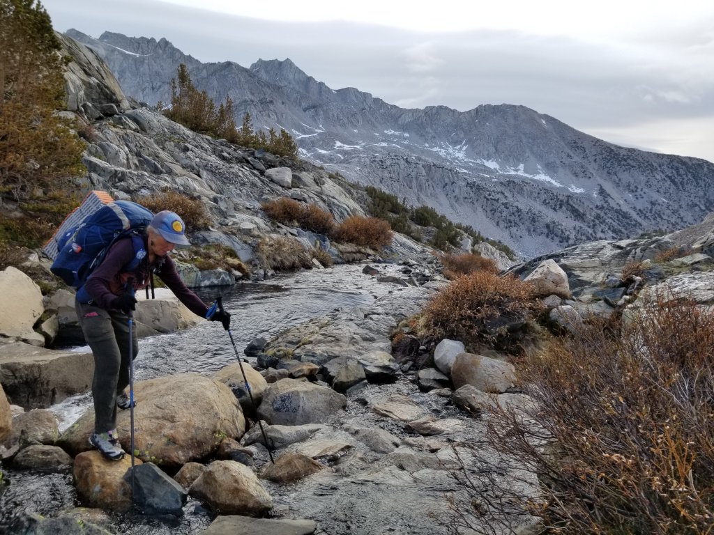
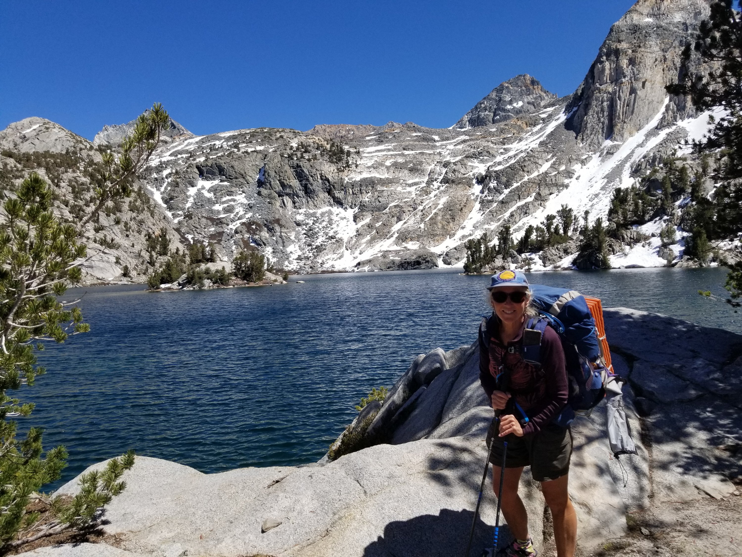
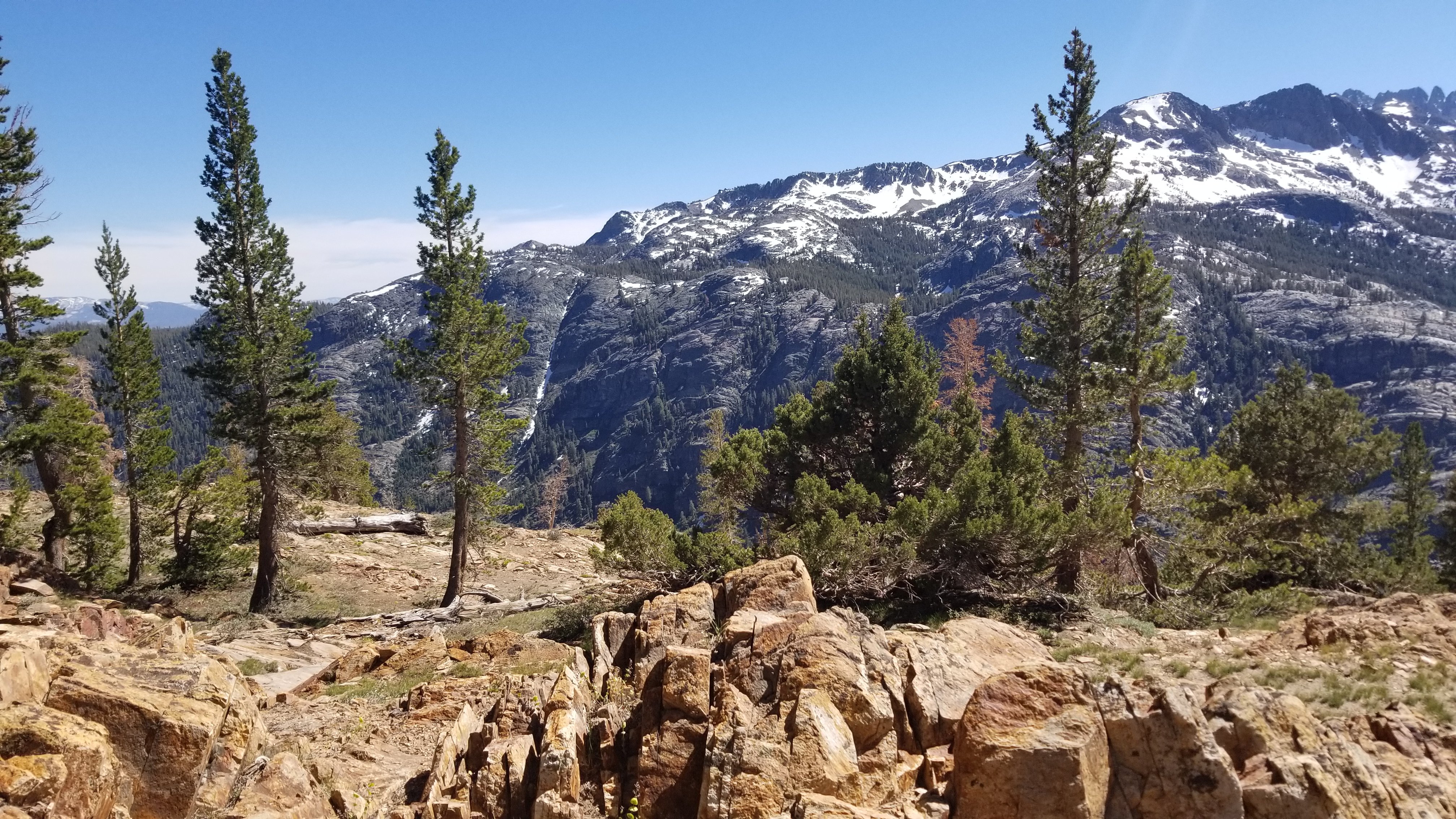
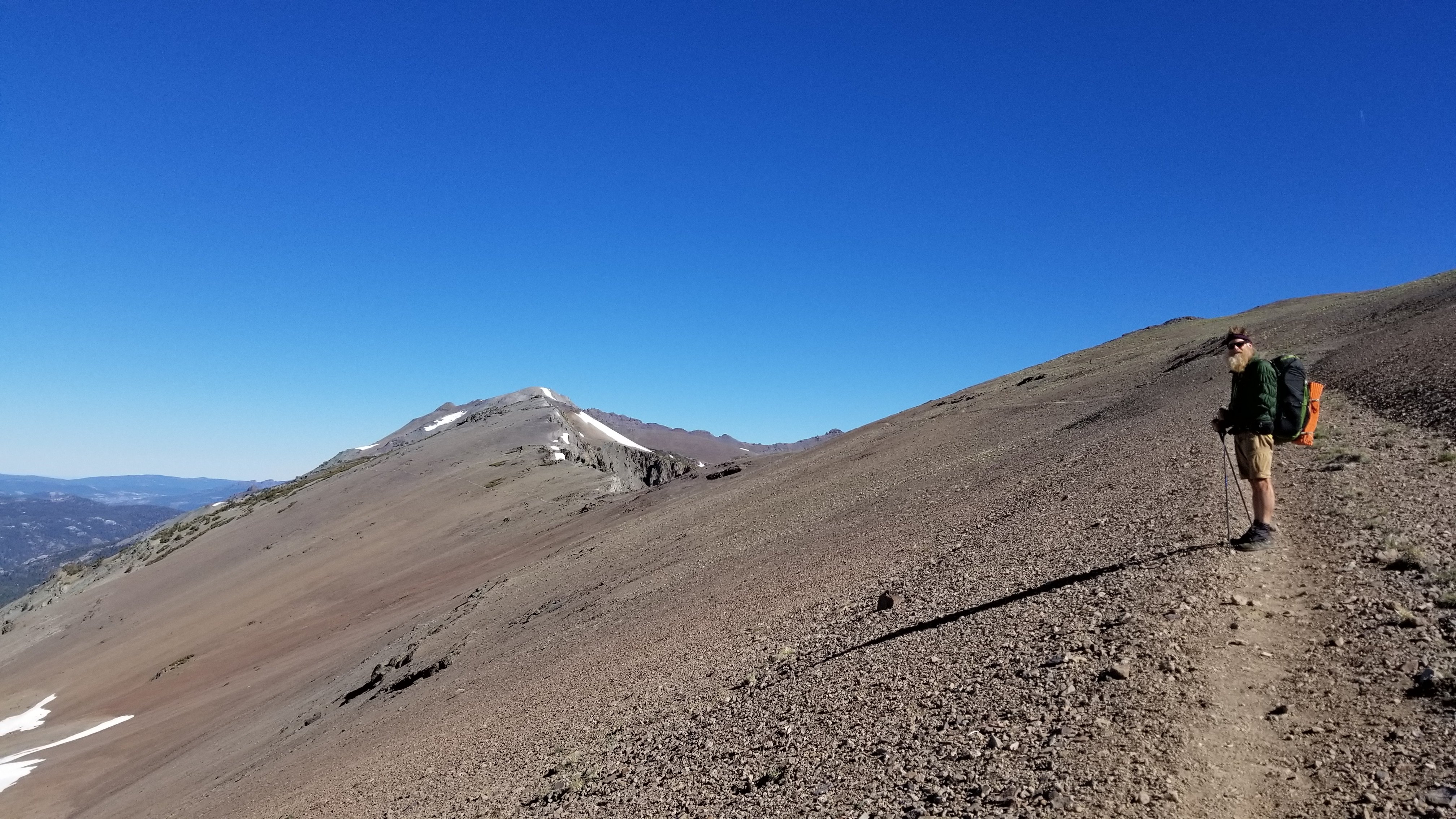
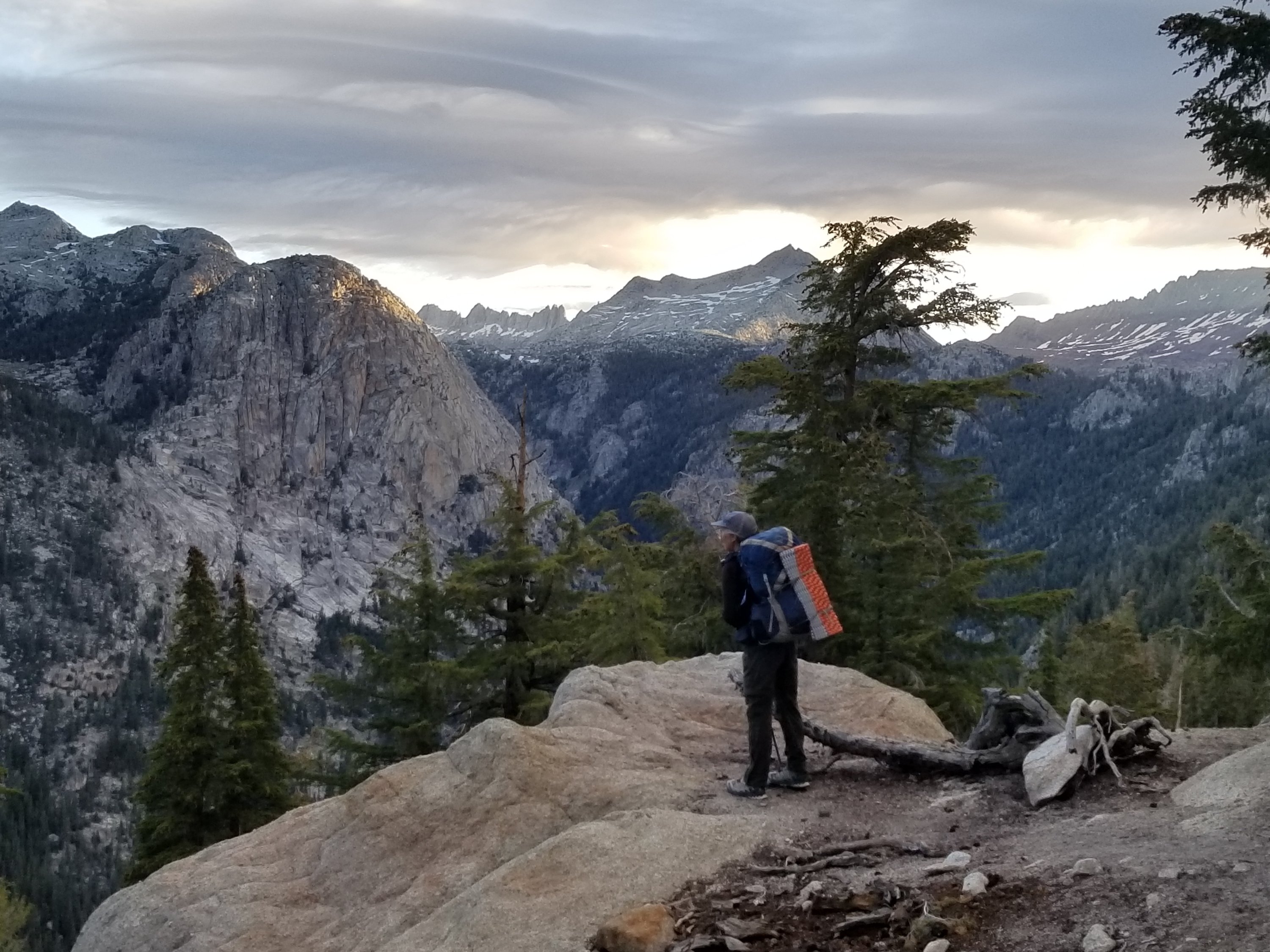
Muir Pass (11,970′) was next and our most enjoyable due to our new strategies of camping close to the pass and going while the snow was hardest in the morning. With poles and micro spikes it was like we walked on crunchy water over the 2 miles to the pass and 4 miles on the descent. It was a natural pass where the lay of the land leads you to the height of land. An enjoyable turnaround for me!

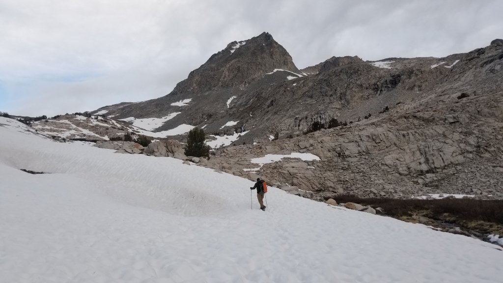
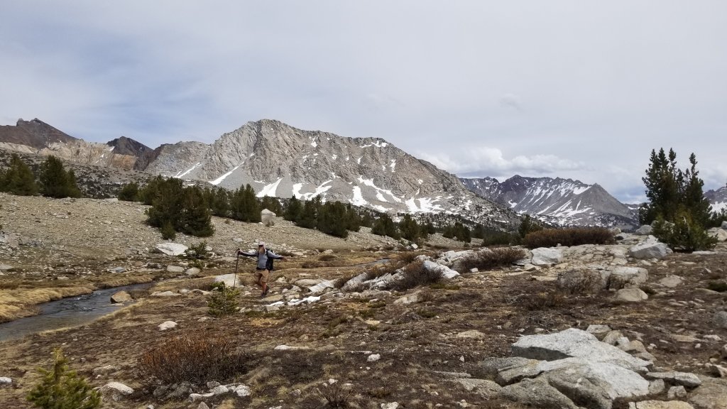
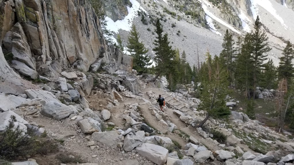
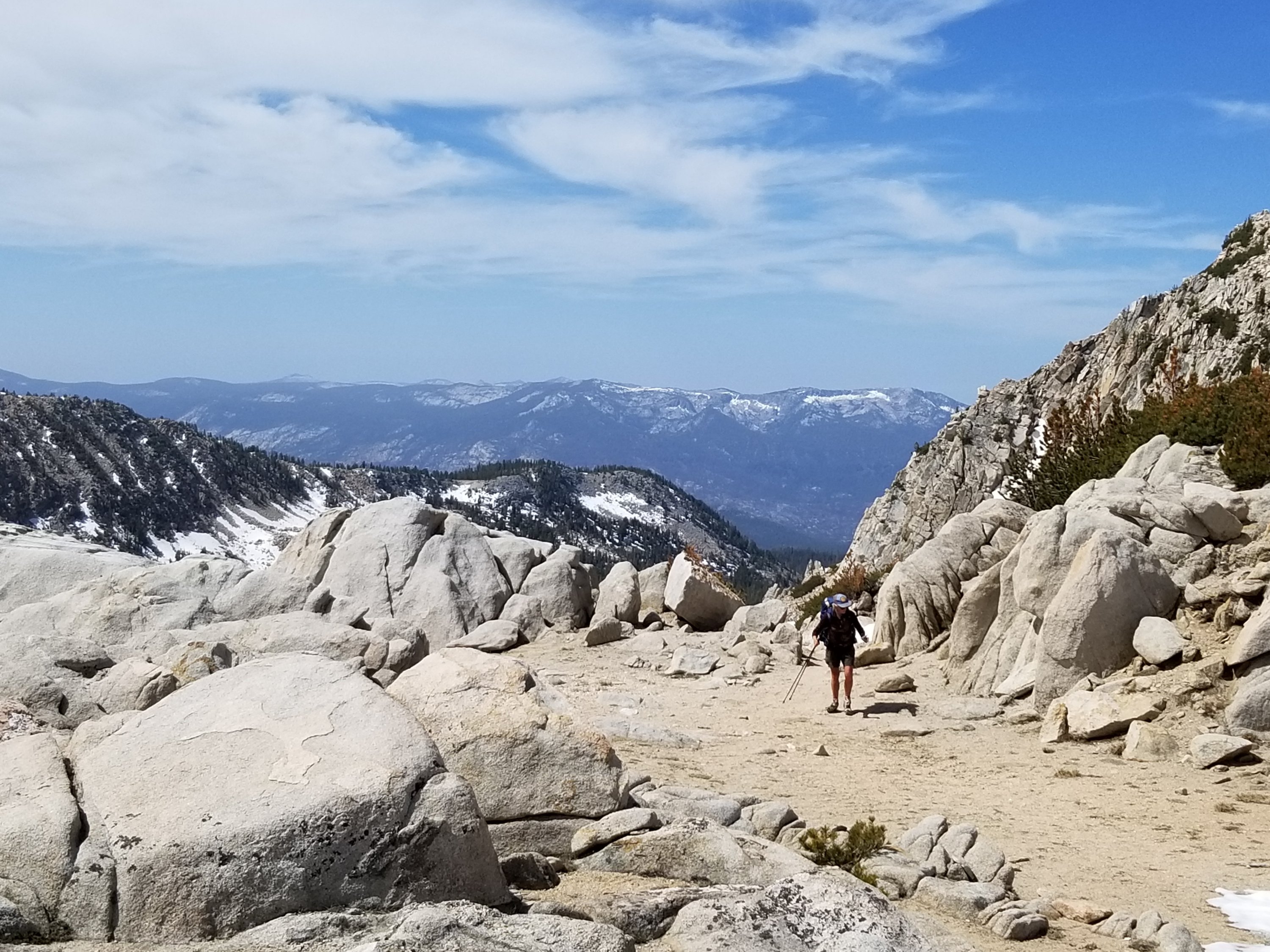
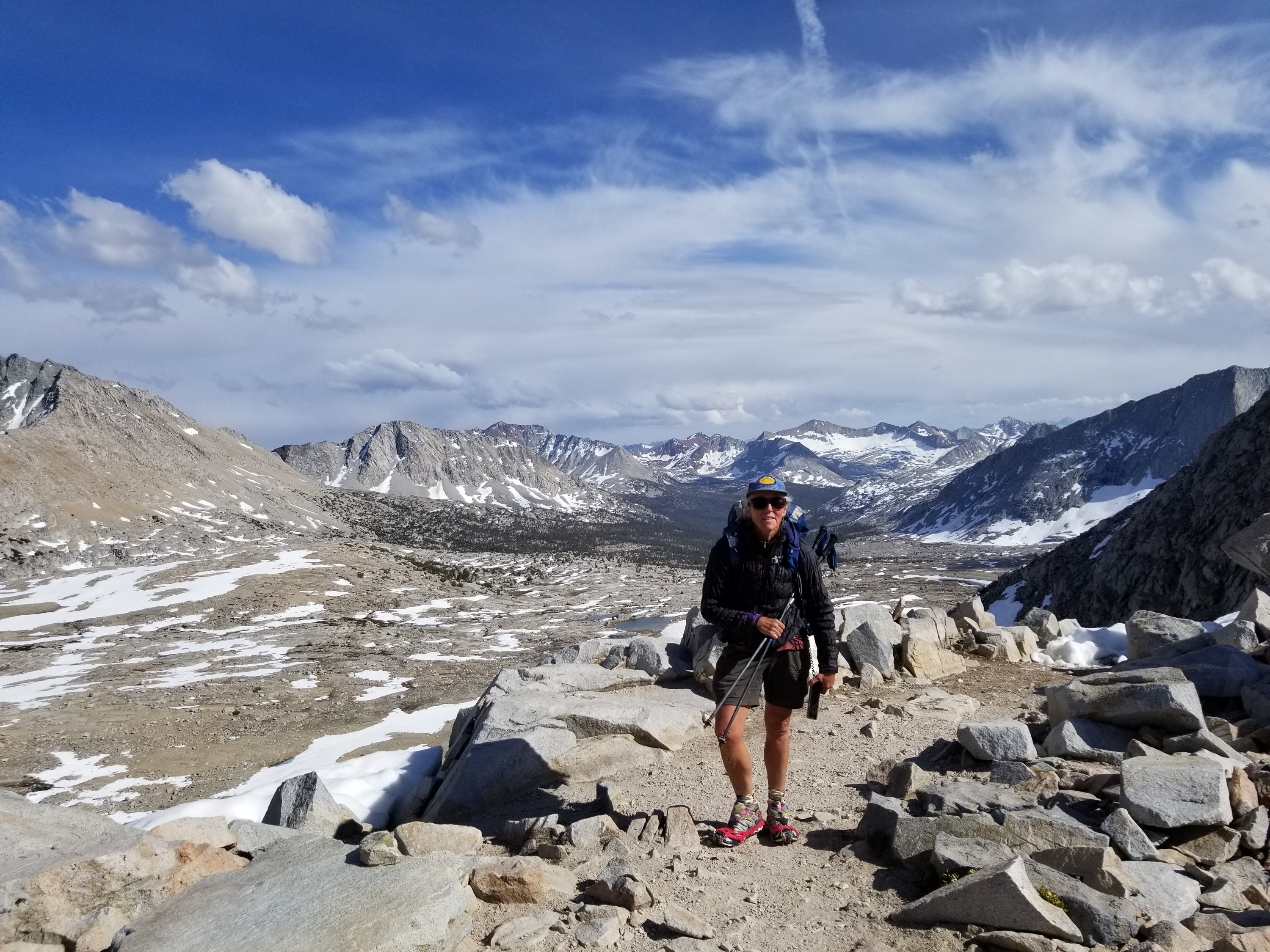
Seldon pass (10,913′) was a stairway of levels with small lakes or meadows at each new height gain. Only a few strands of soft snow remained on the north side which we skittered across in our eagerness to be done.
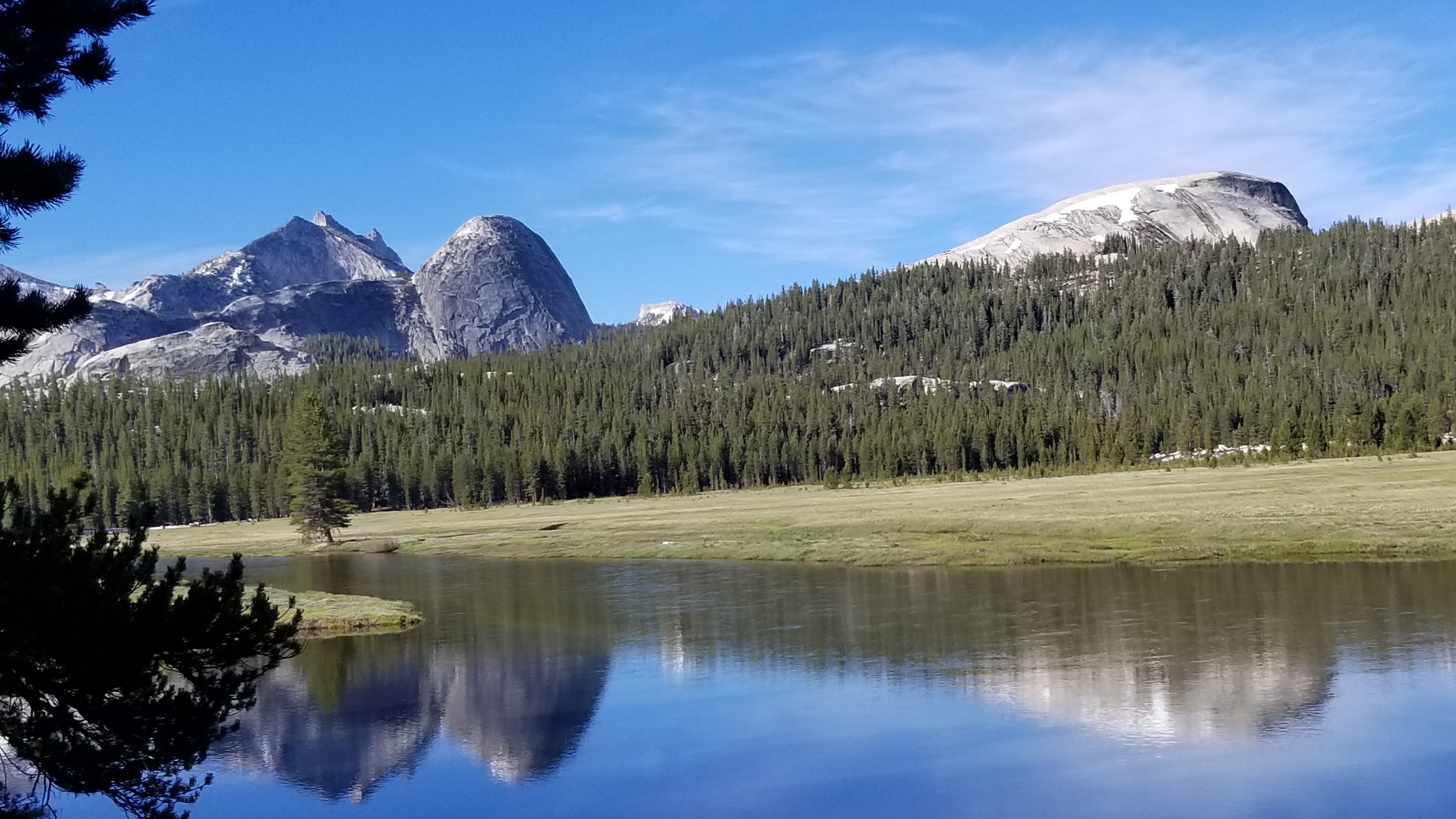
We resupplied at Vermillion Valley Resort which is seasonally accessible by a winding one lane mountain road or by hiking in. The elevation is decreasing bit by bit as we move north in the Sierra Nevada mountains. We enter Yosemite National Park.
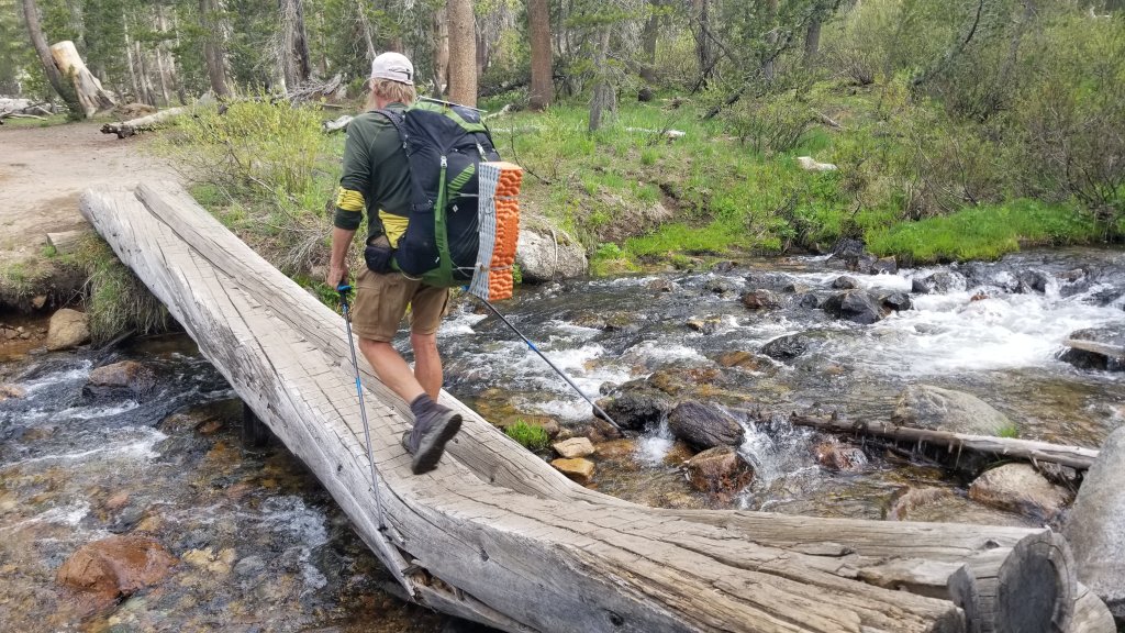
The trail continues climbing passes and covering some gorgeous sections of land. We resupply again at Kennedy Meadows North Pack Station before moving on to South Lake Tahoe where we collect our van again.


We met up with a fellow PCT hiker who happened to be a retired doctor and was the person who pronounced the hiker dead while on Forester Pass. I spoke about this tragedy last blog. “BIG OWL” confirmed that this 22 yr old woman died from altitude sickness. She had experienced many symptoms such as, blue lips, vomiting, and lethargy three days prior. The doctor explained that this was preventable if she or her friends took her to lower elevation. Nothing truly helps understand this situation. Although, I am thankful for knowing the truth….
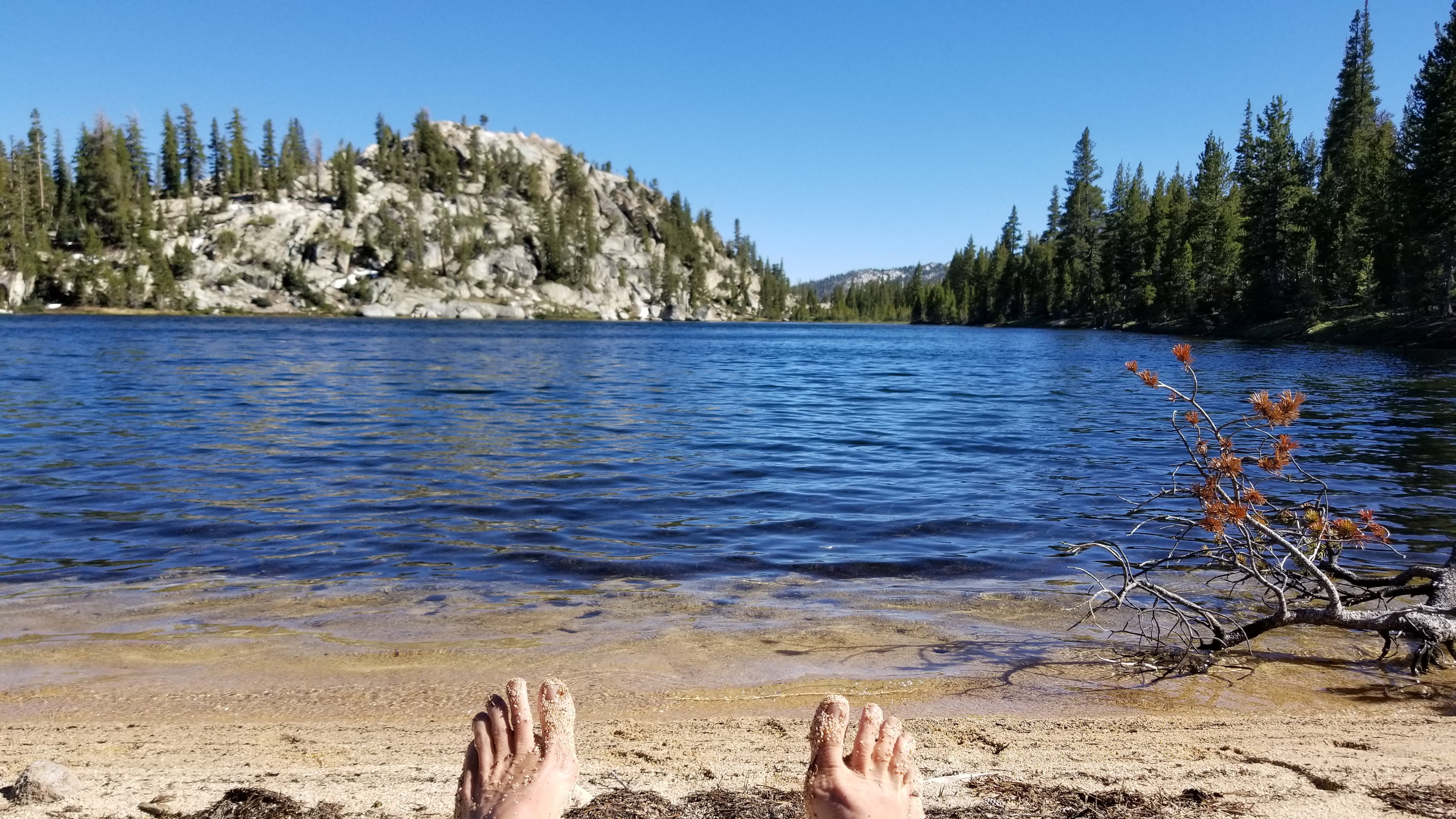
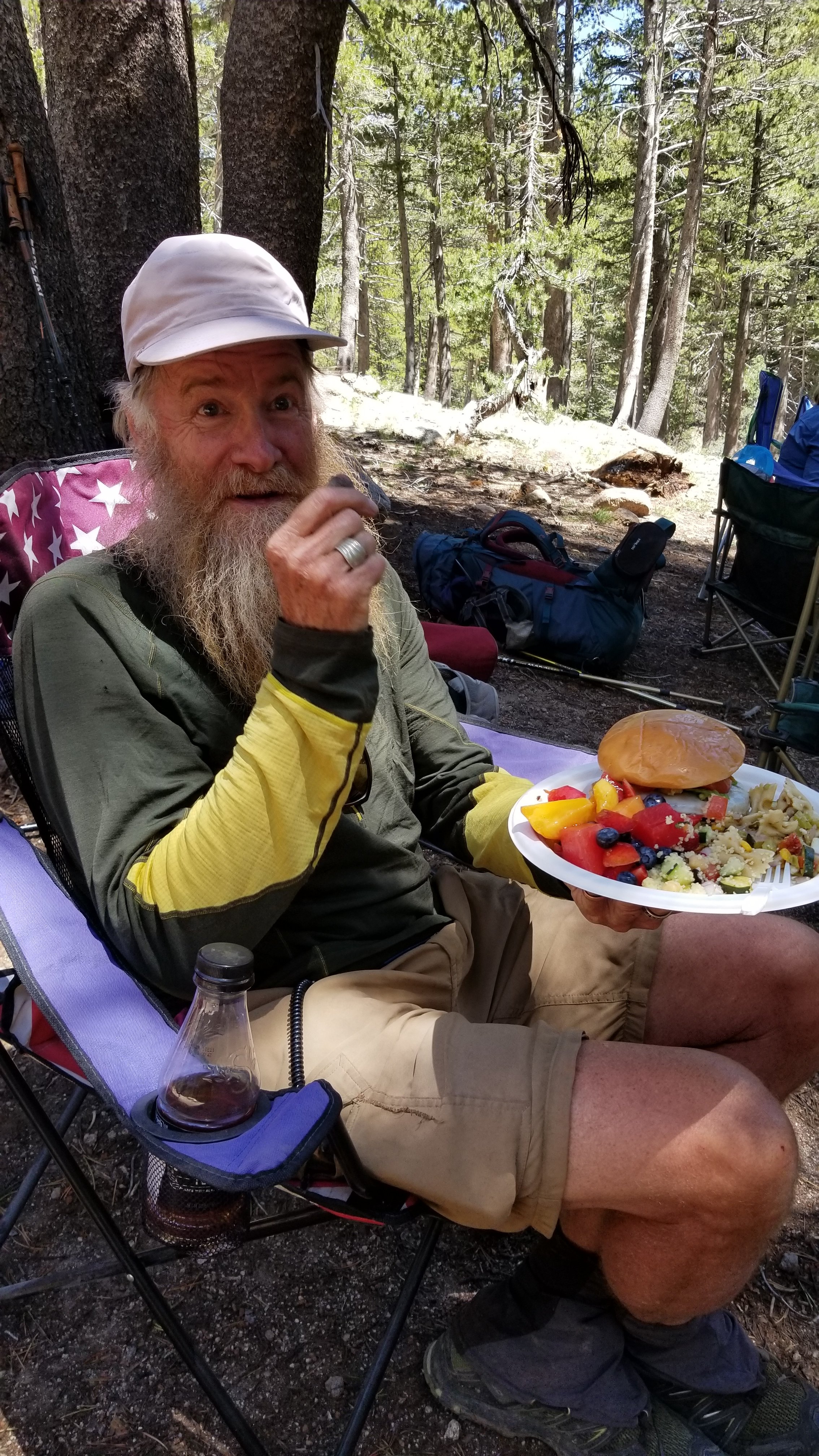
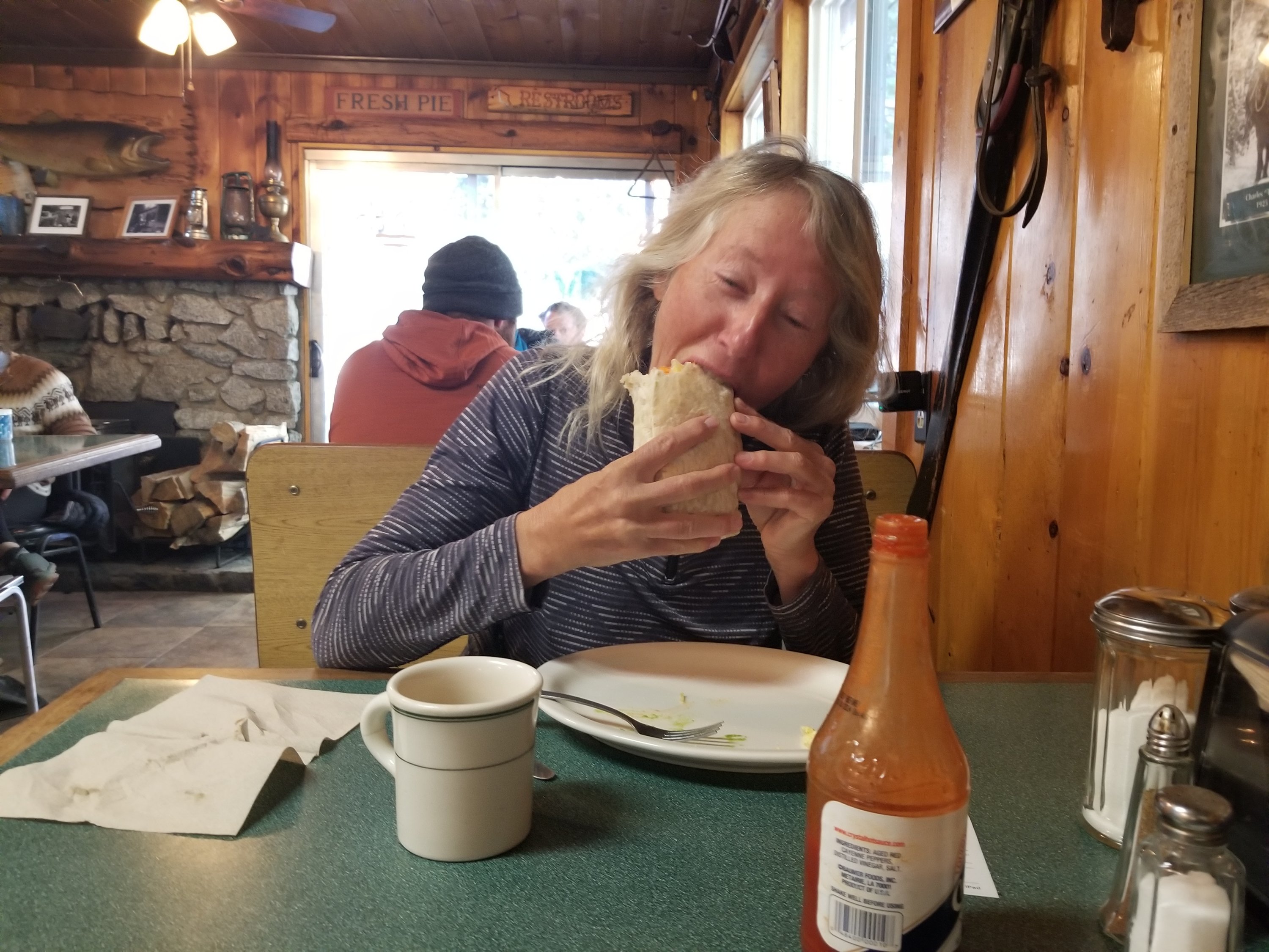
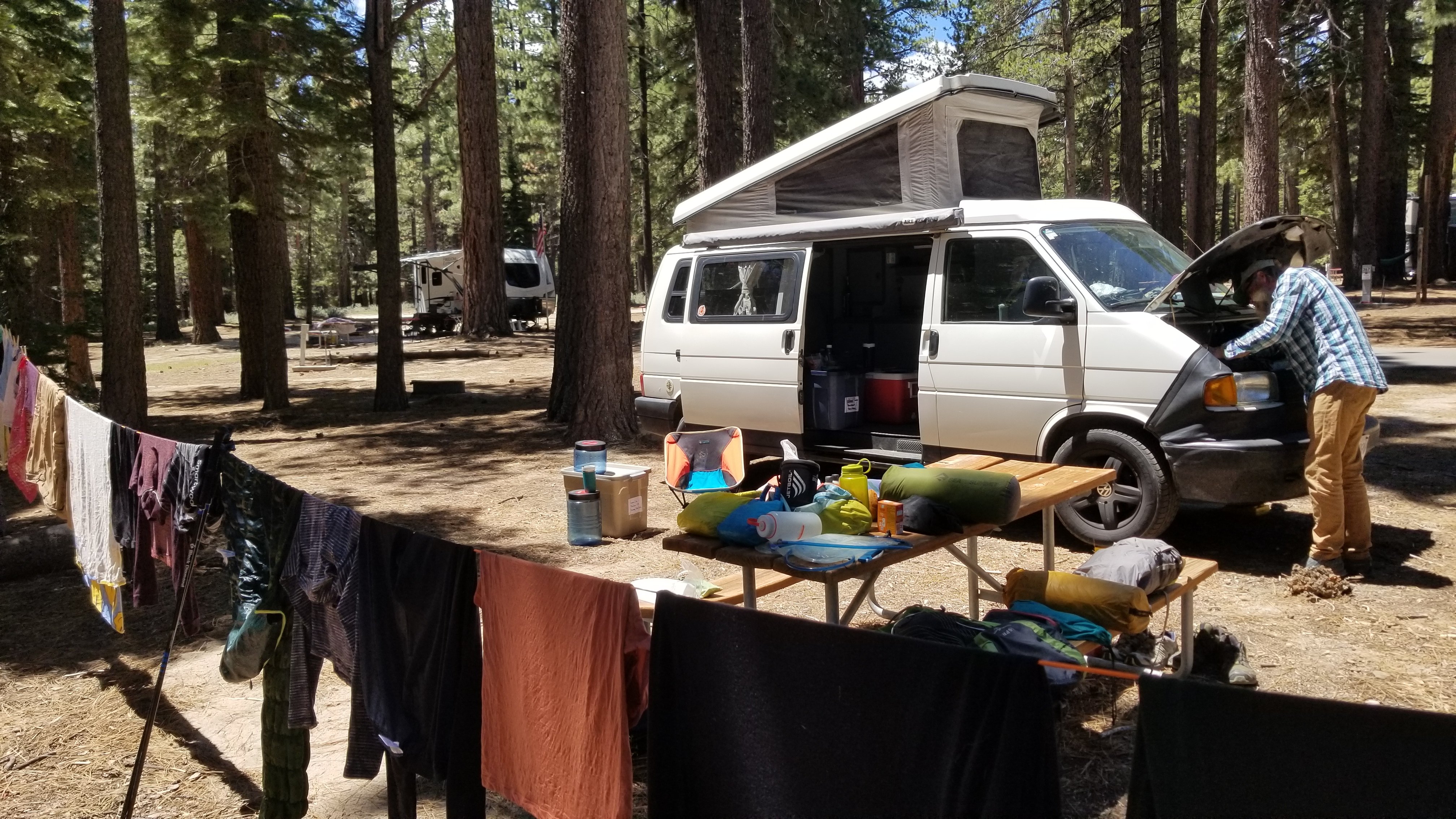
Here are the things we like to do on days off :

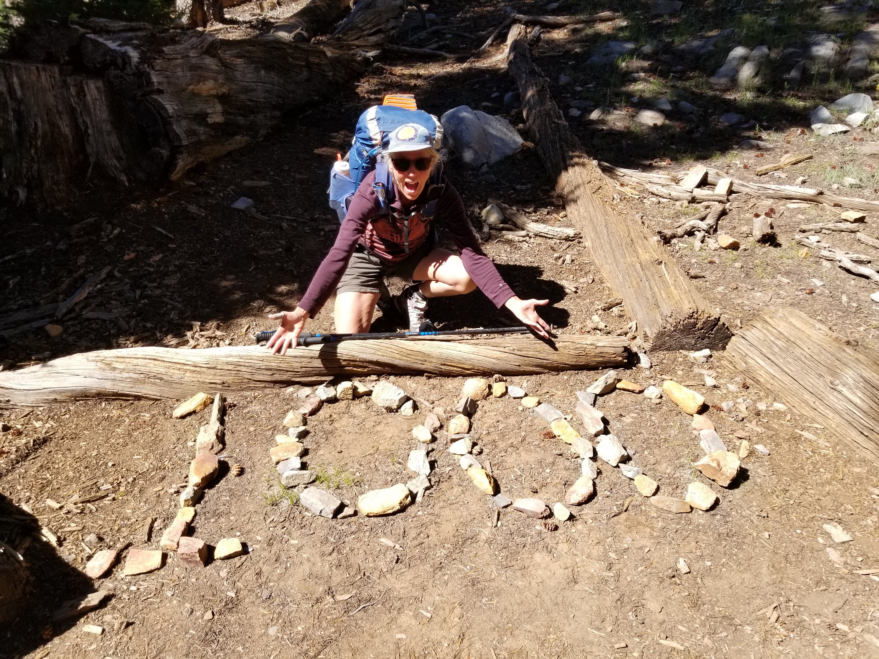
Tackling northern California next! Resupply on it’s way!!

Keep on friends! Your hike is truly inspiring. I’m off to Alaska tomorrow, my cousin has a wonderful itinerary planned for me.
xx Polly
LikeLike
Have an eye opening time Polly! Your trip sounds so fabulous!! Stay safe!!
LikeLike
Spectacular. I am really enjoying following along – and it certainly makes me yearn for a trip like yours (although, I know that feeling of fear on the high elevations – just wishing for it to be over). I would love to do a trip like this – with the both of you as my guides.
LikeLike
Each post we read leaves us more in awe of the way you challenge yourselves to walk this earth! We go with you vicariously on a journey we can only imagine! You both look wonderful and brave!! much love Marisa and David
LikeLike
Great reading. Happy to be part of your fan base.
Daniel and Micheline
>
LikeLike
No pain no gain :). I am wondering of how many biogeoclimatic zones you are passing through your entire journey? Beautiful photos, frank reporting, and a joy to come along with you. Keep on tracking we love the reports. Christian
LikeLike