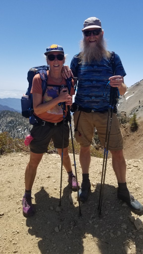
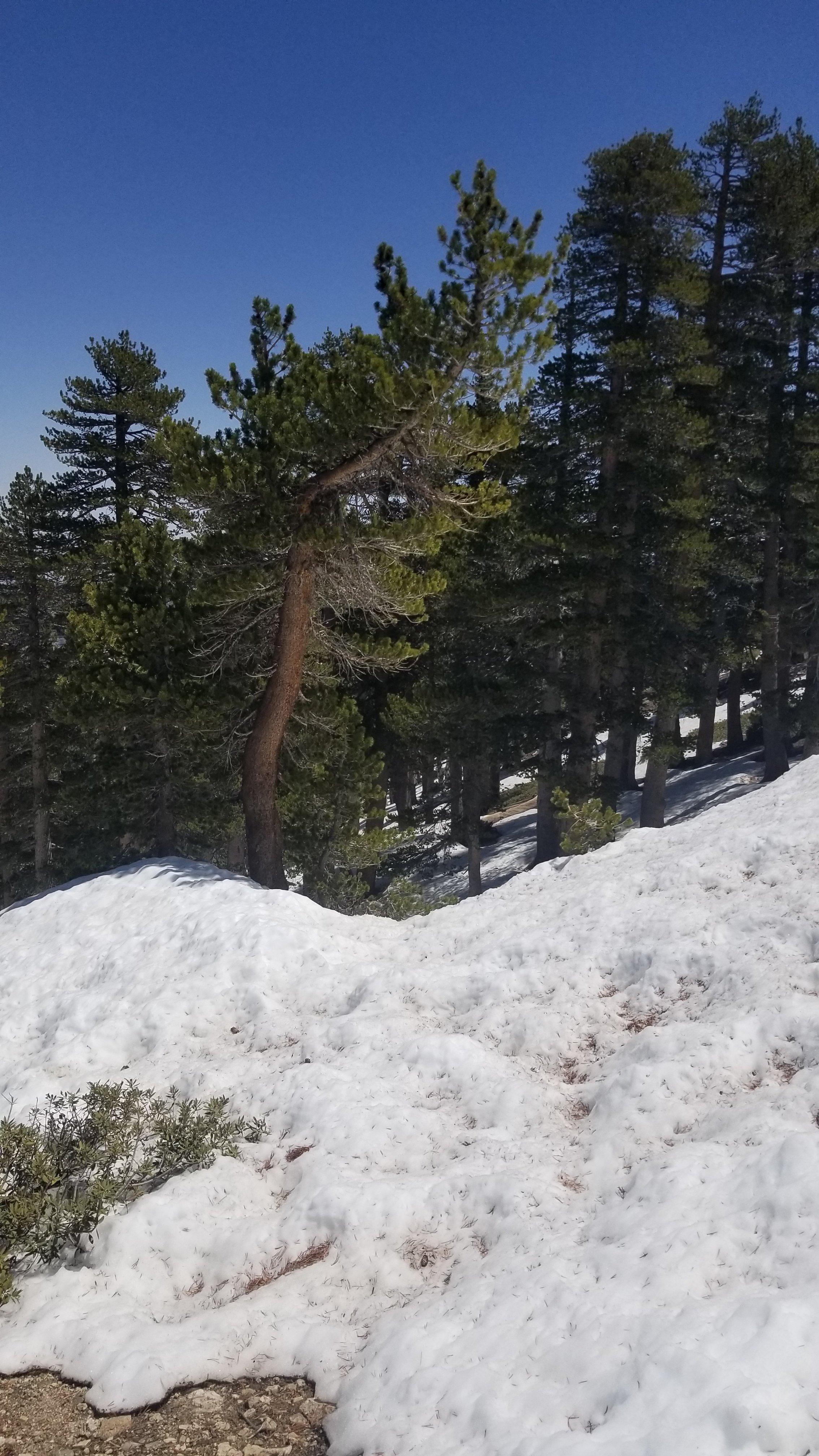
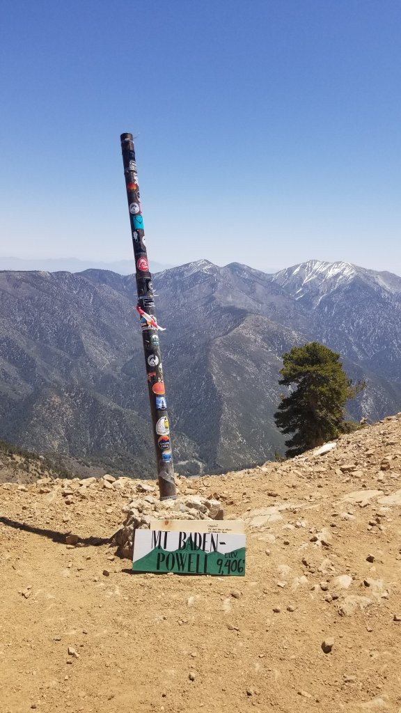
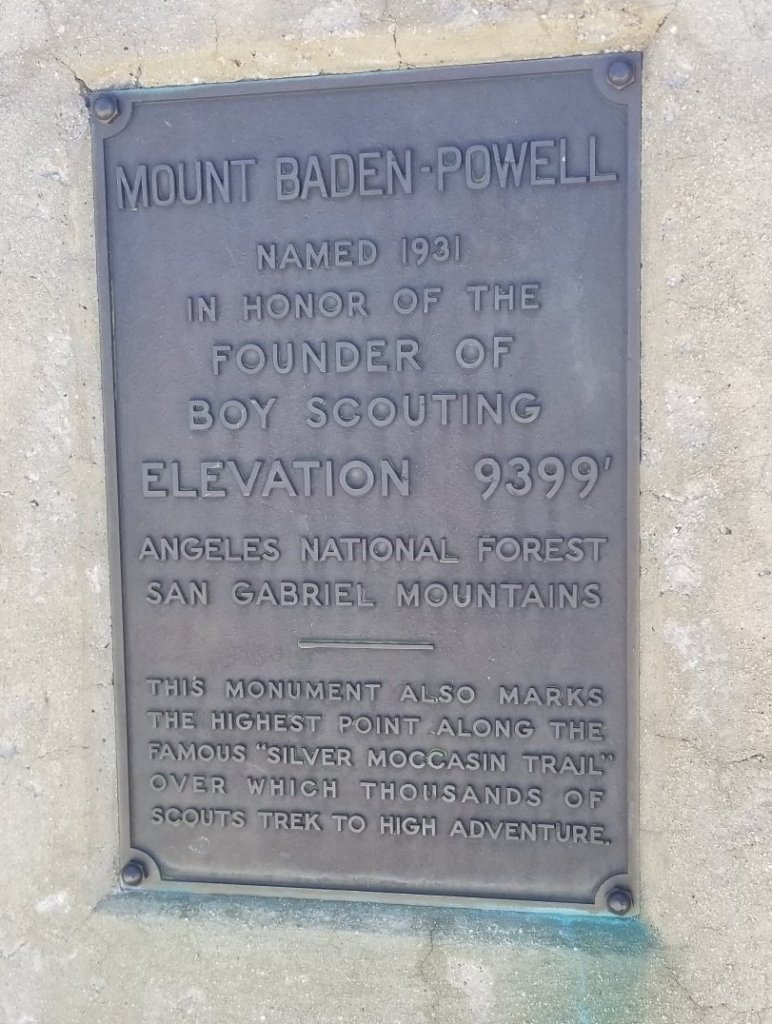
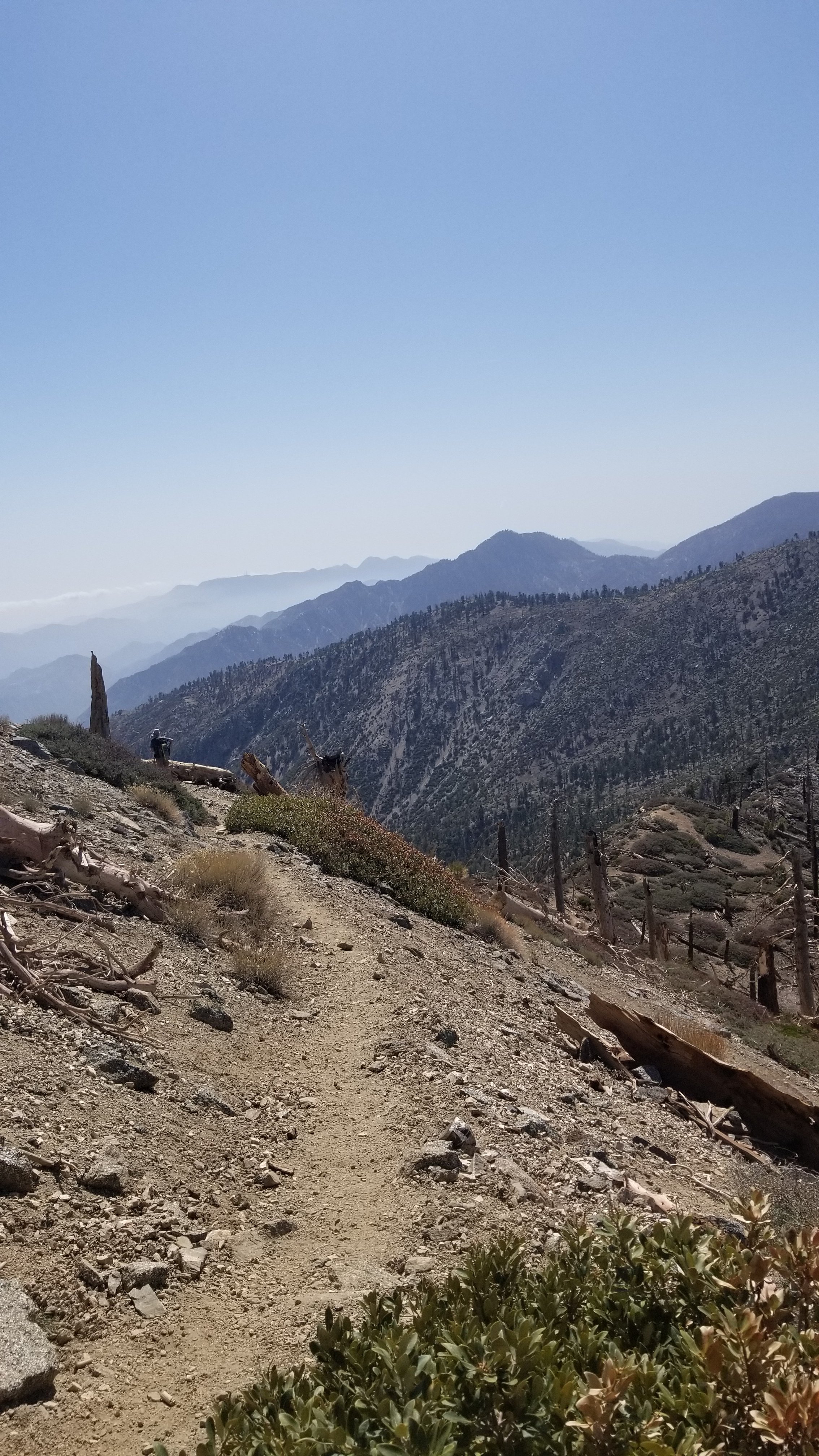
WRIGHTWOOD (mile 369.3) to TEHACHAPI (mile 566.4). First on the agenda is climbing to one of the highest points of southern California, Mt Baden Powell (9400 ft). This was a 3 hour ascent on a smooth slow grade, however up is up and with freshly laden packs, we had to catch our breath from time to time. The trailhead was at 6500 ft so at least we weren’t starting from sea level.
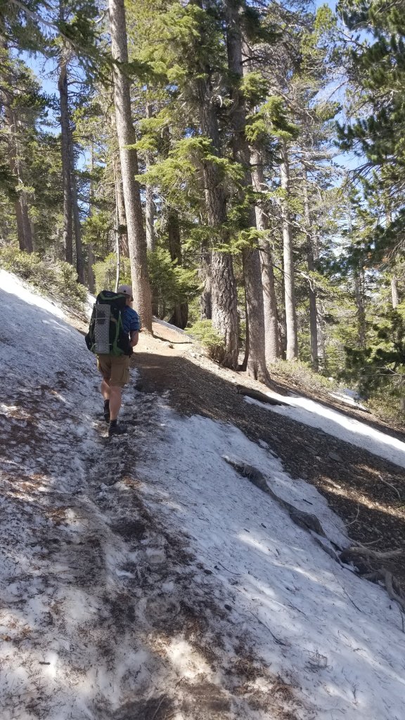
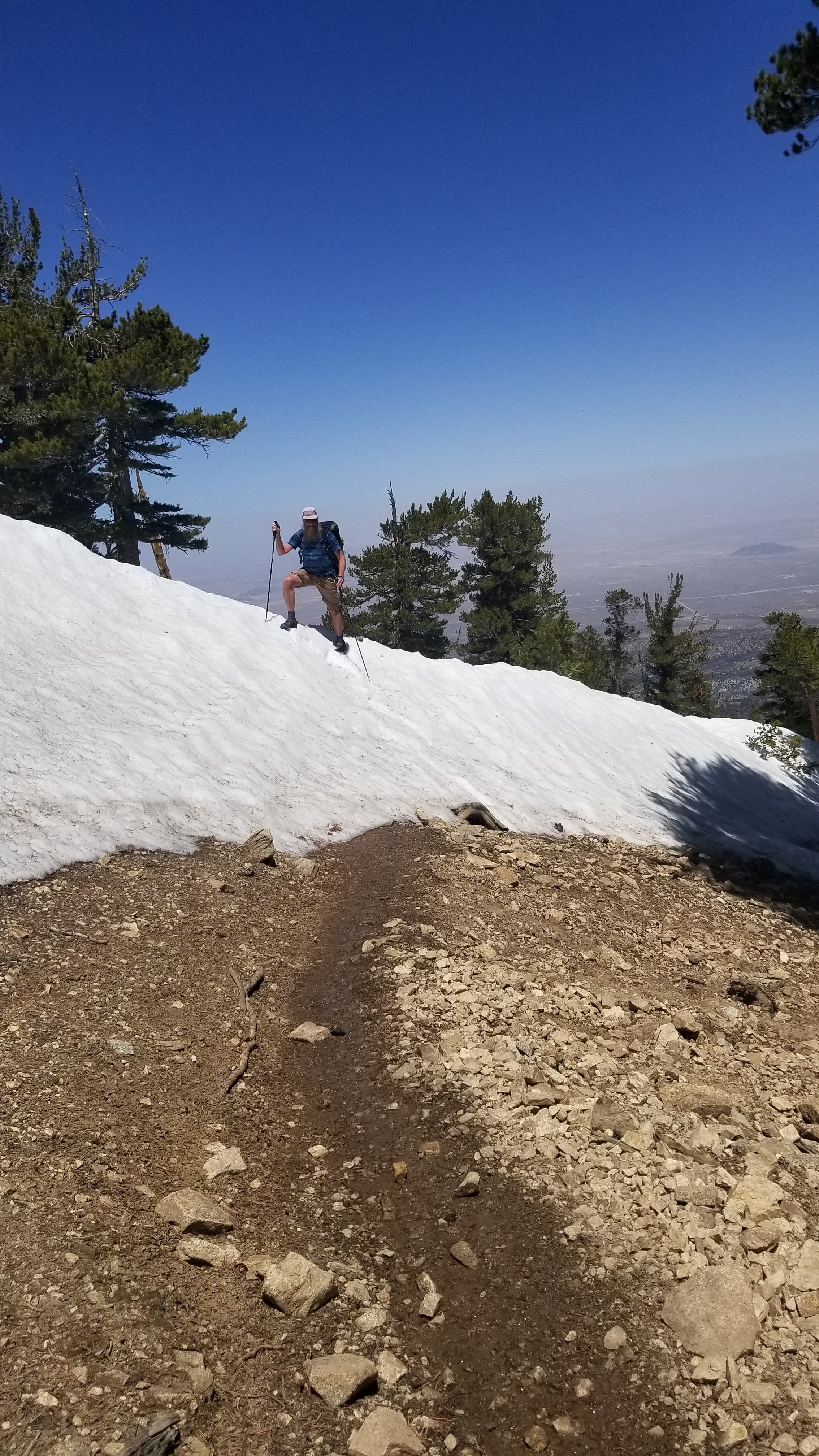
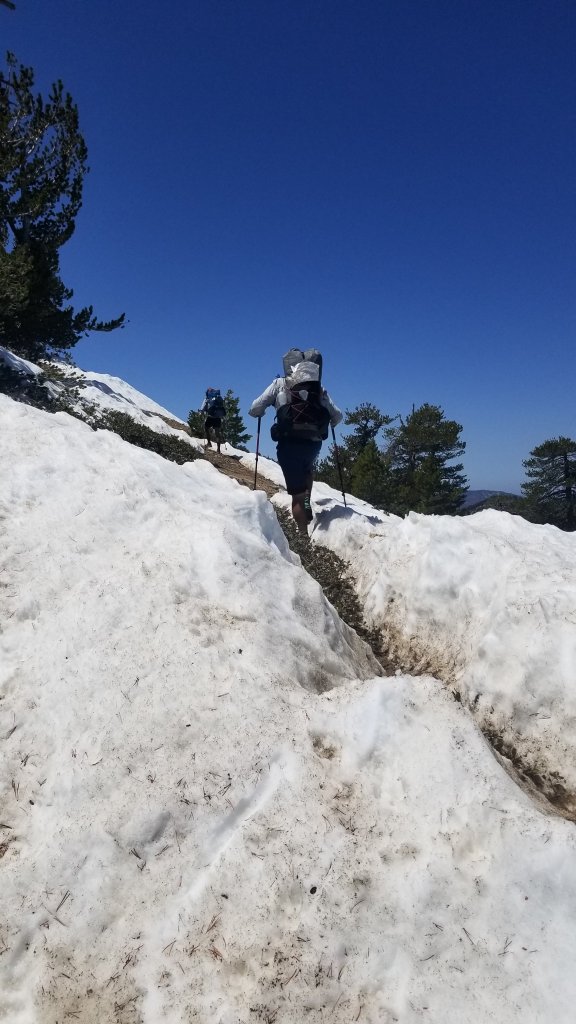
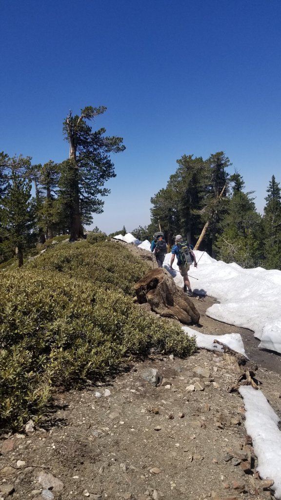
Zip and Jobie Climbing Baden PowellFirst amount of snow around 8,000′The trail disappears under the snow
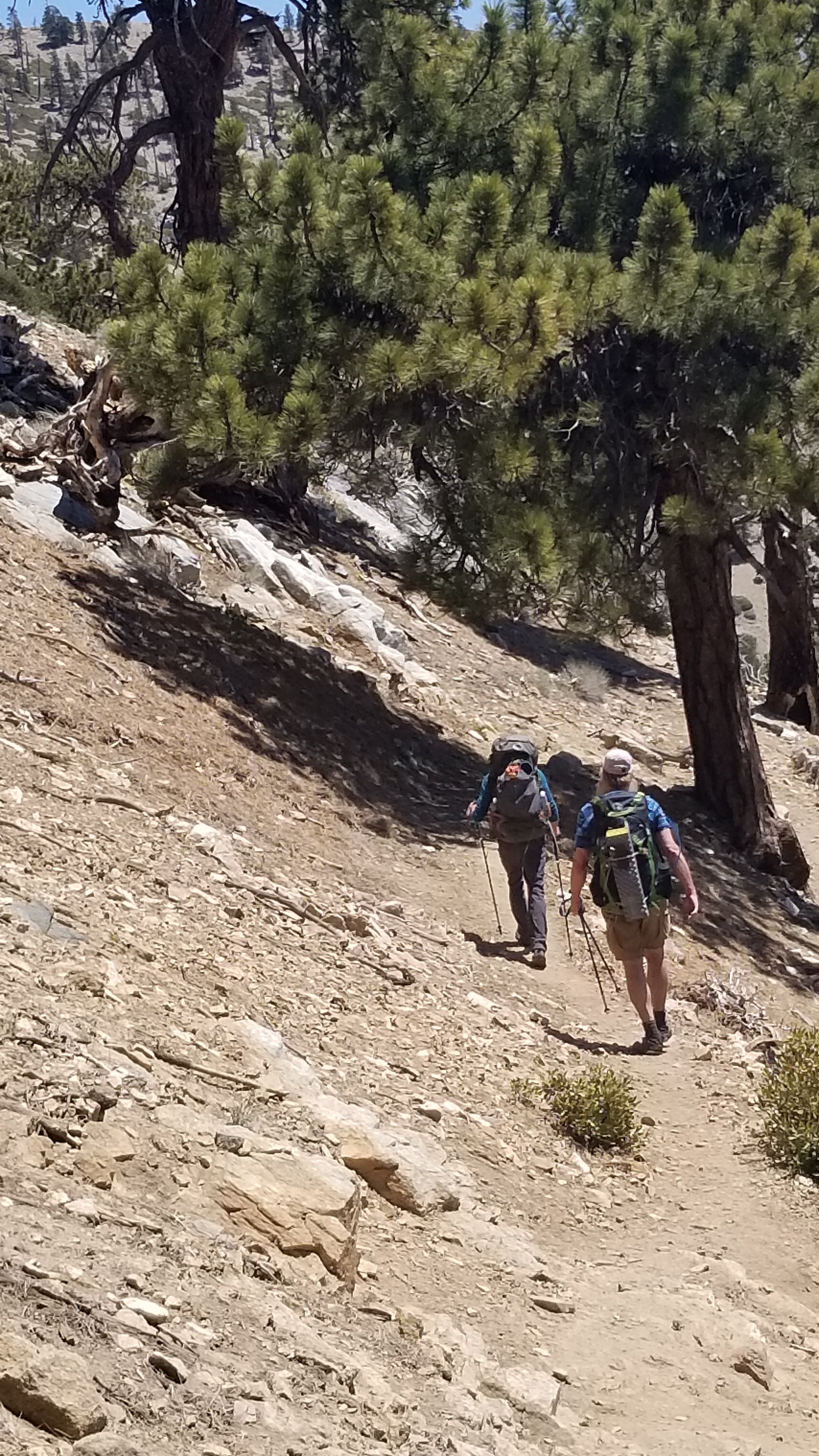
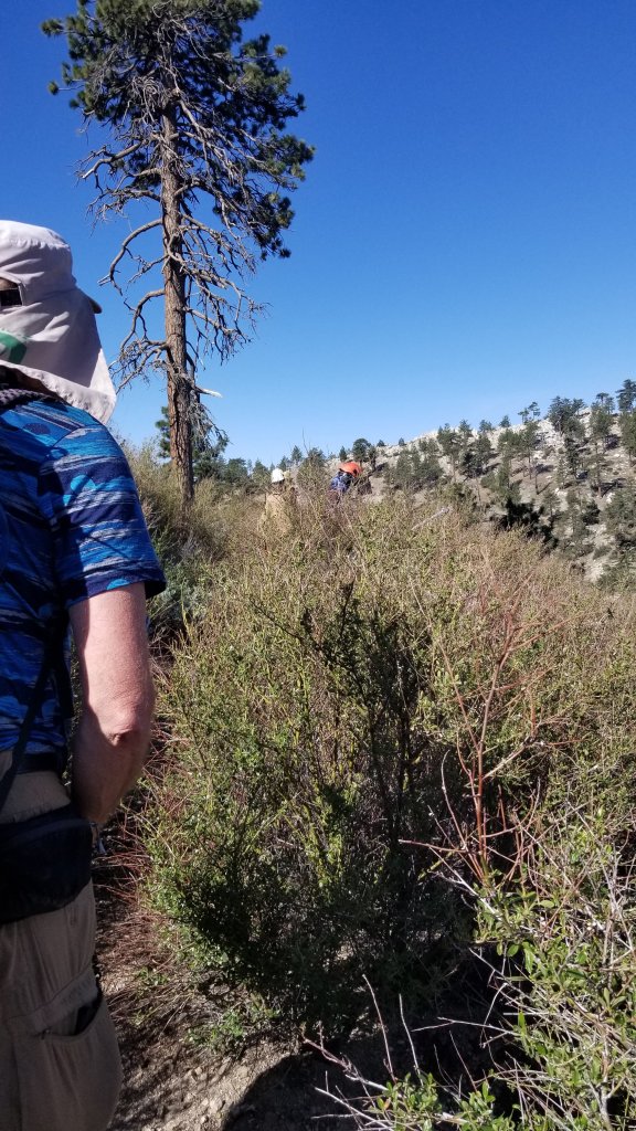
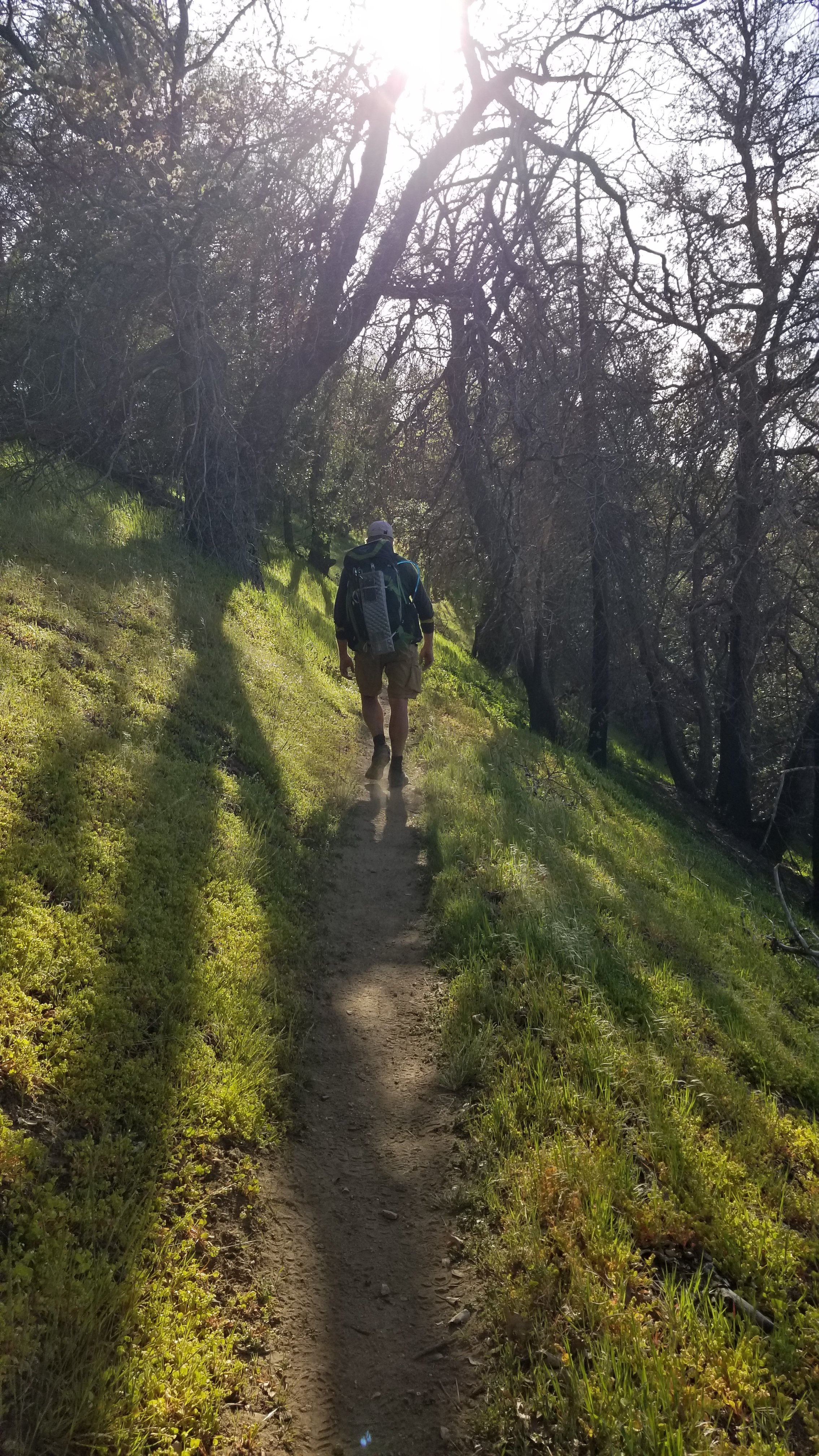
As the trail became harder to find under the snow, hikers caught up with each other and banded together to guide each other on which was the best route to take. We fell in with Stomper (~60) who is a retired executive with a multi national company from London England, Guillermo (~32) who is from Mexico City but lives in Australia and has the most unusual english accent, Jay Bird (~37) retired military officer injured in Iraq living in Washington state, Jeanette (~32) a software programmer from Seattle, and Cinnamon and Dumpling (~30) a couple from Germany.
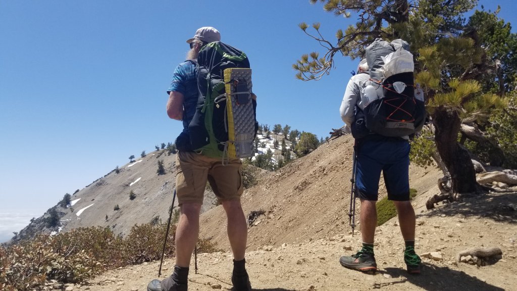
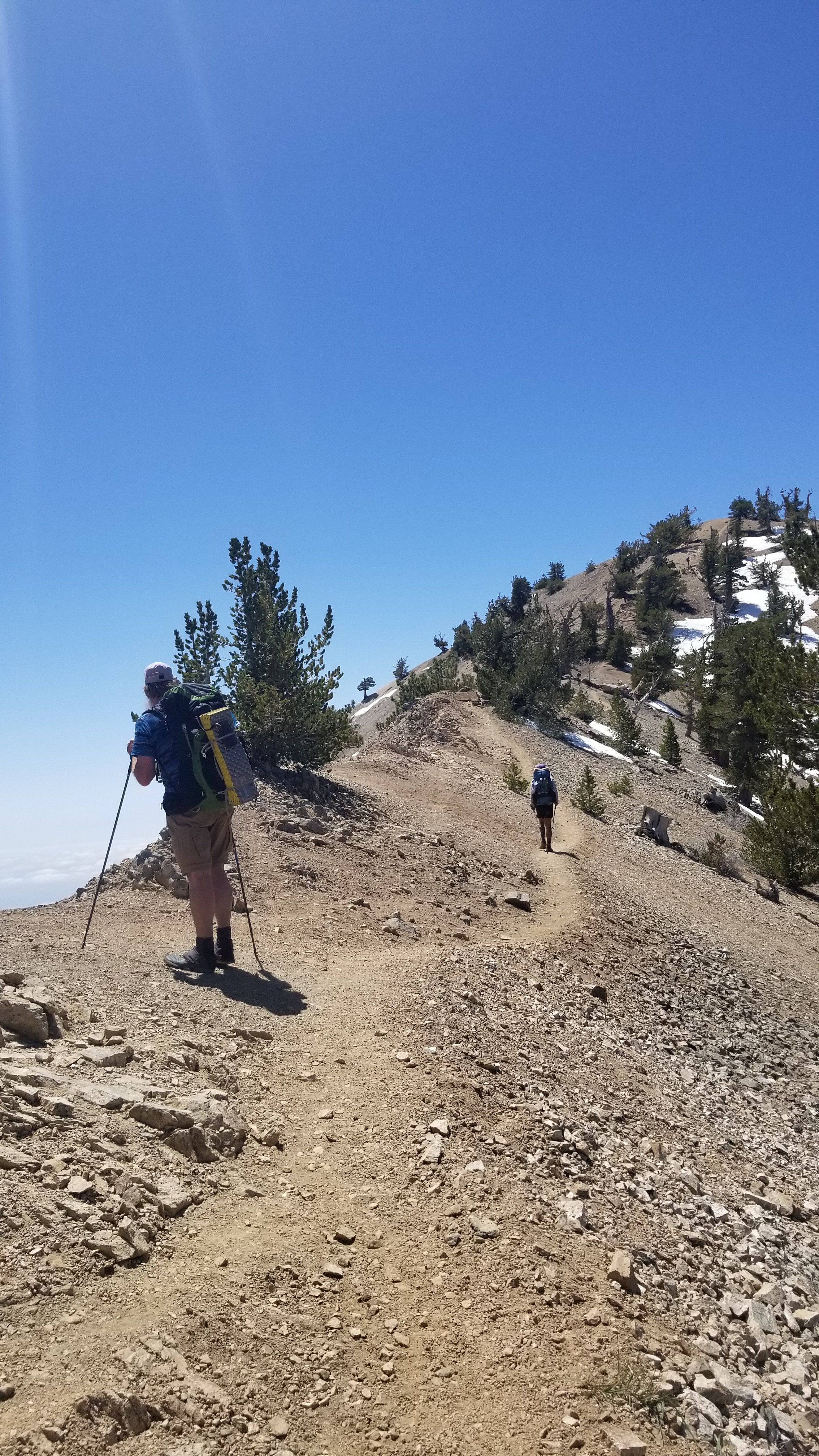
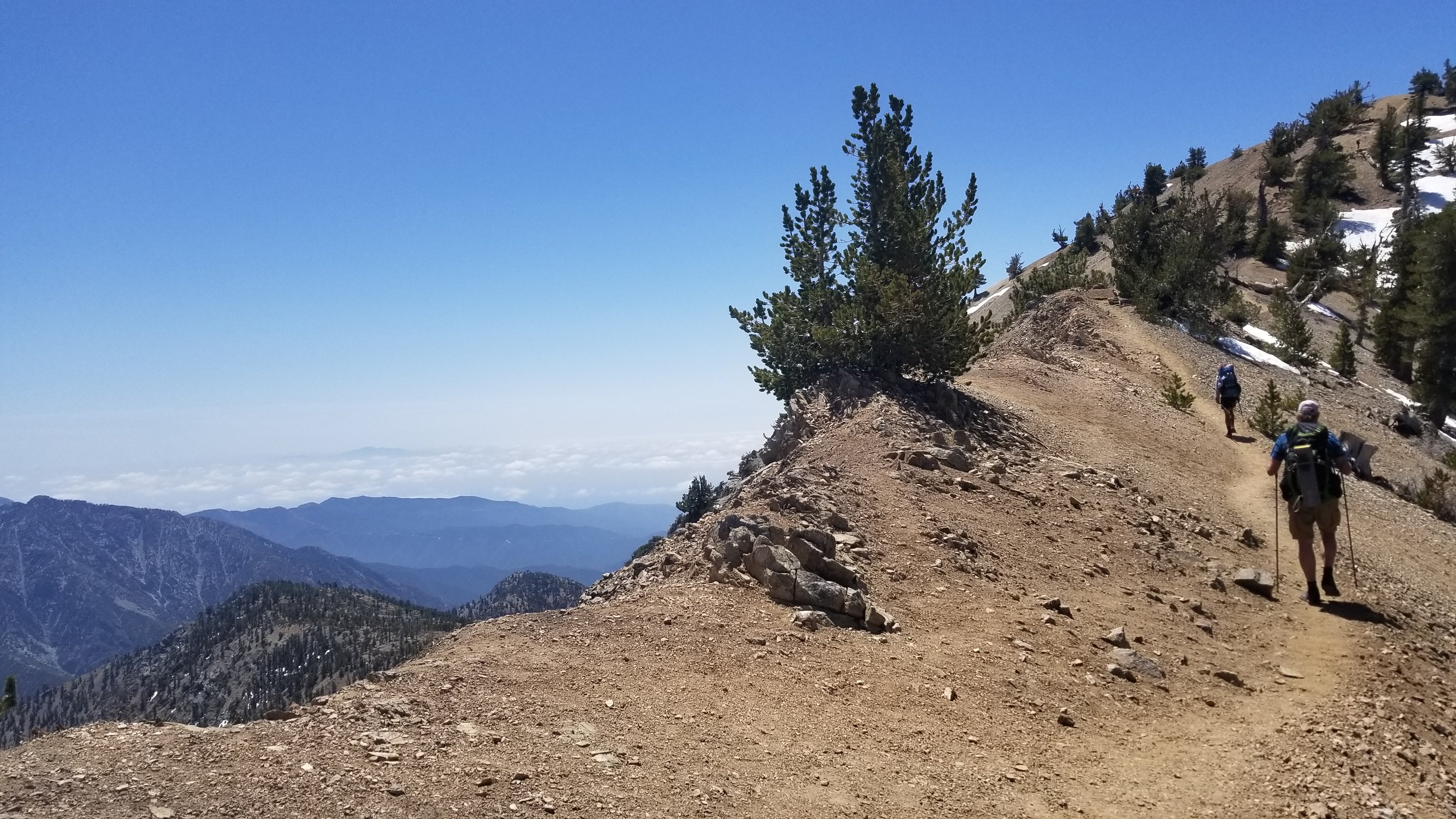
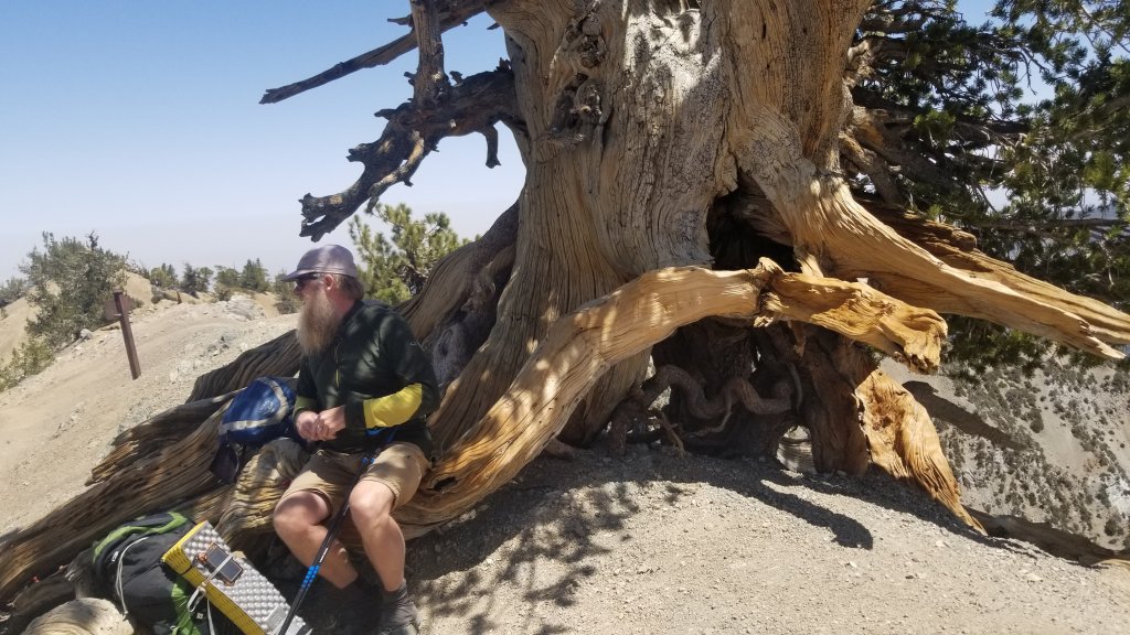
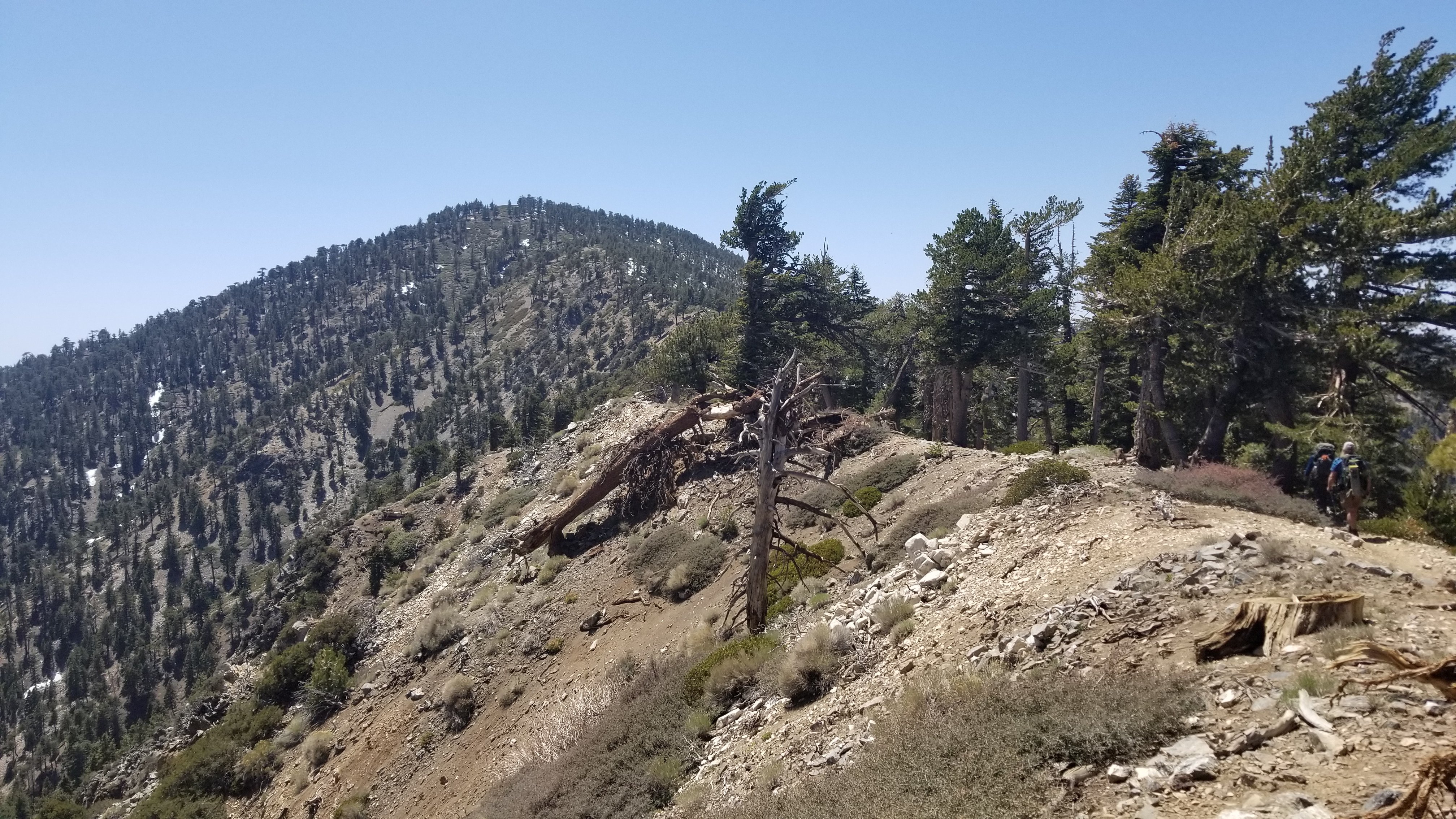
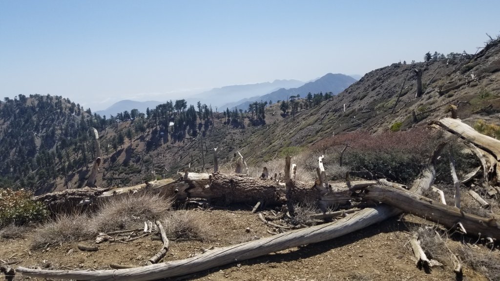
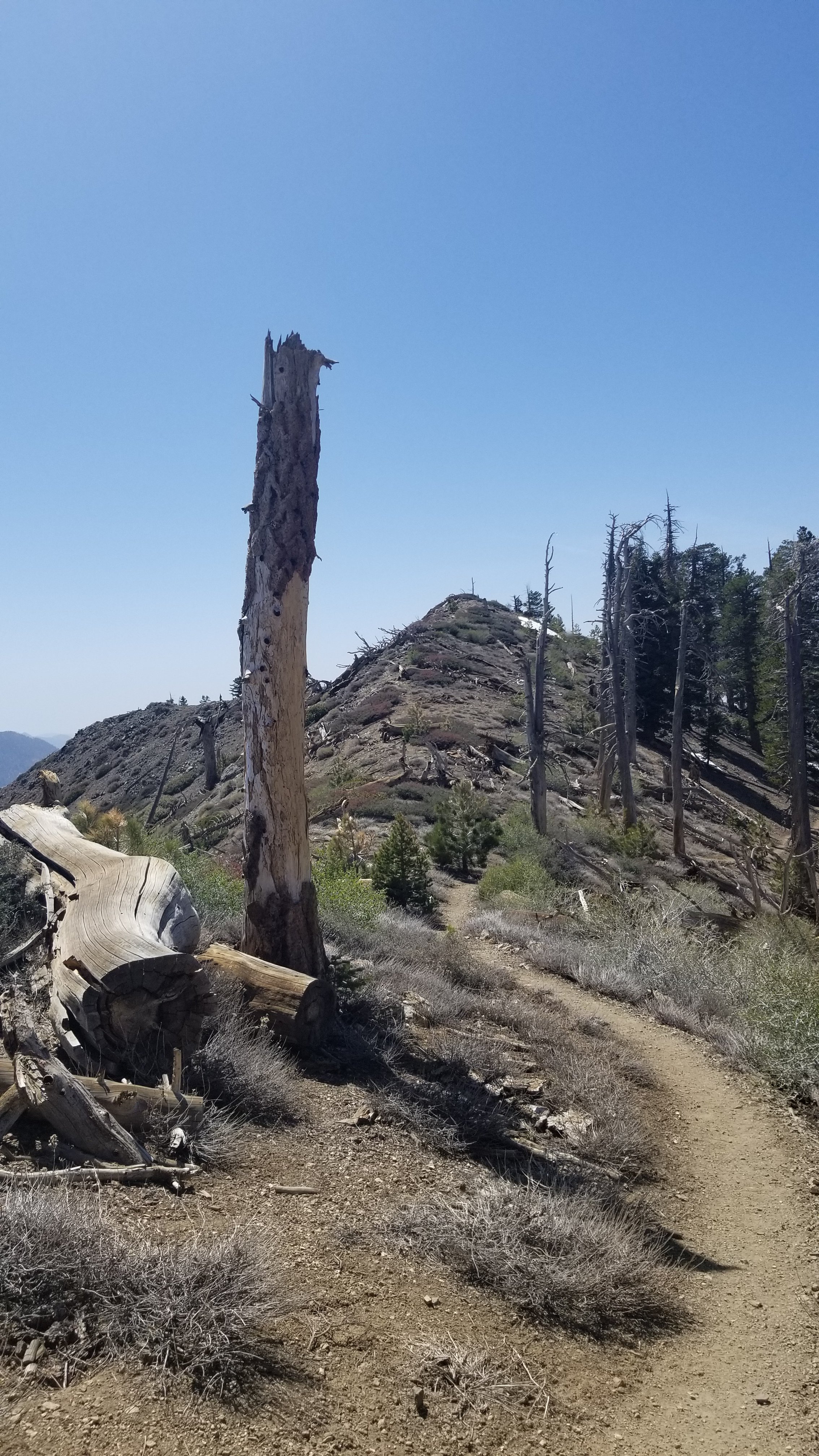
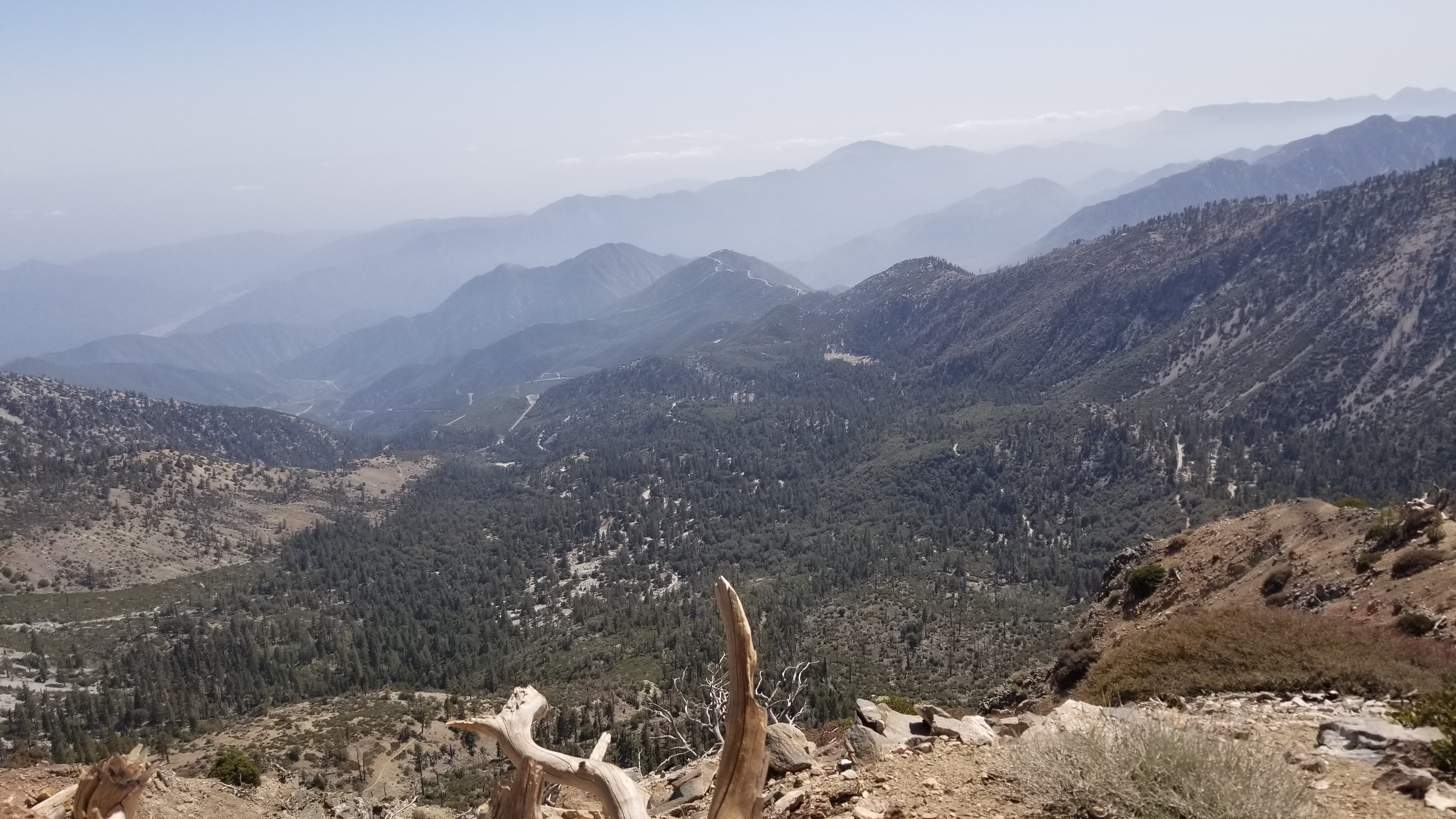
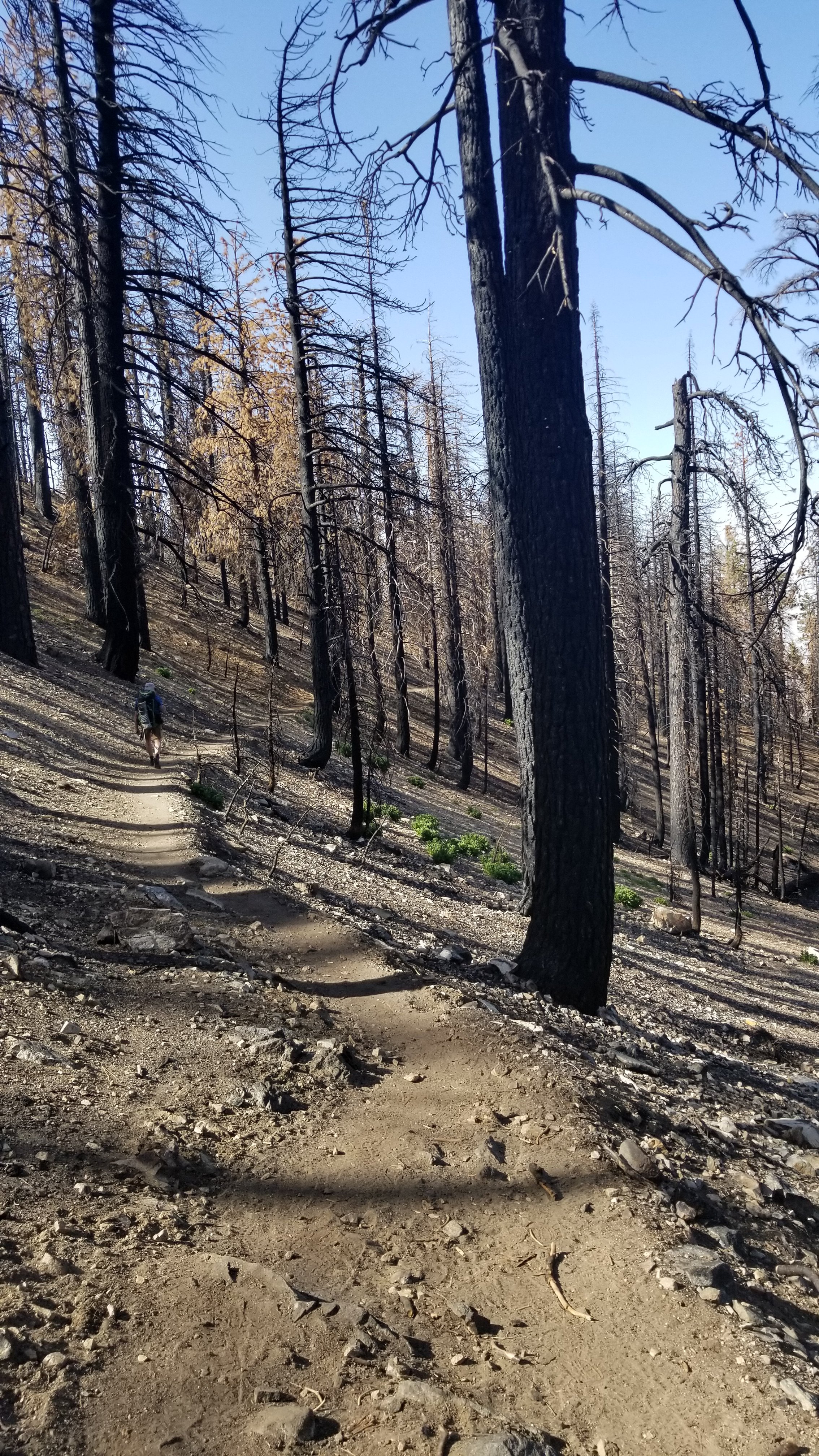
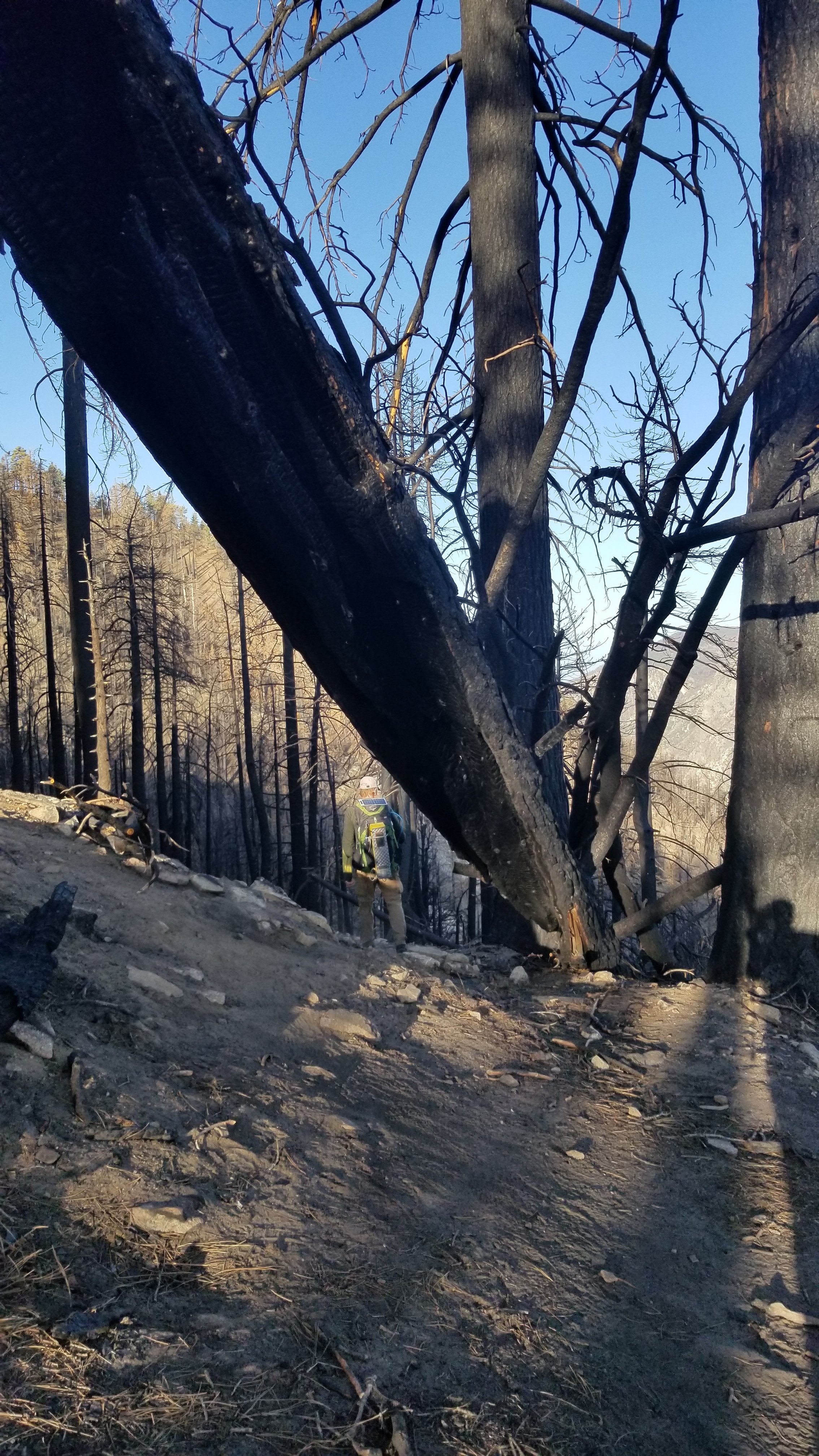
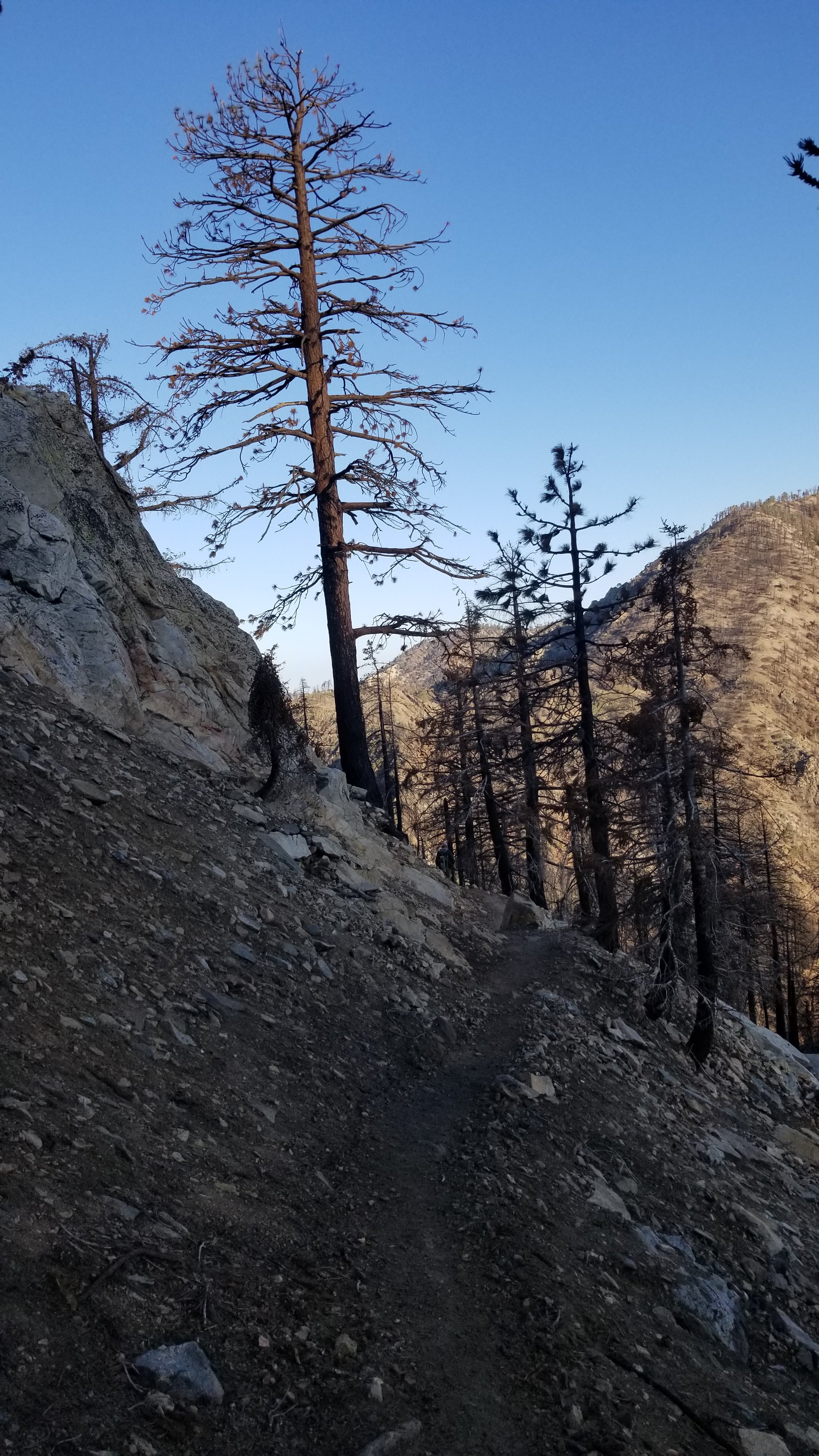
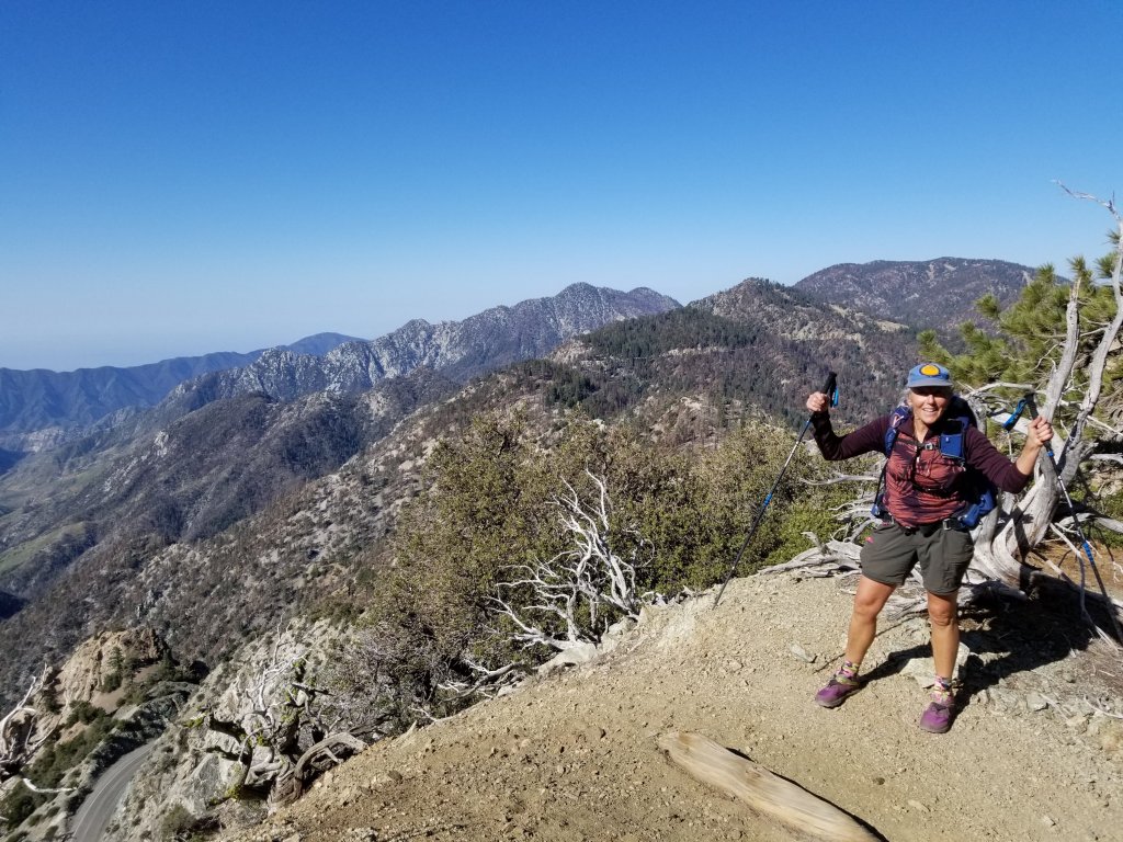
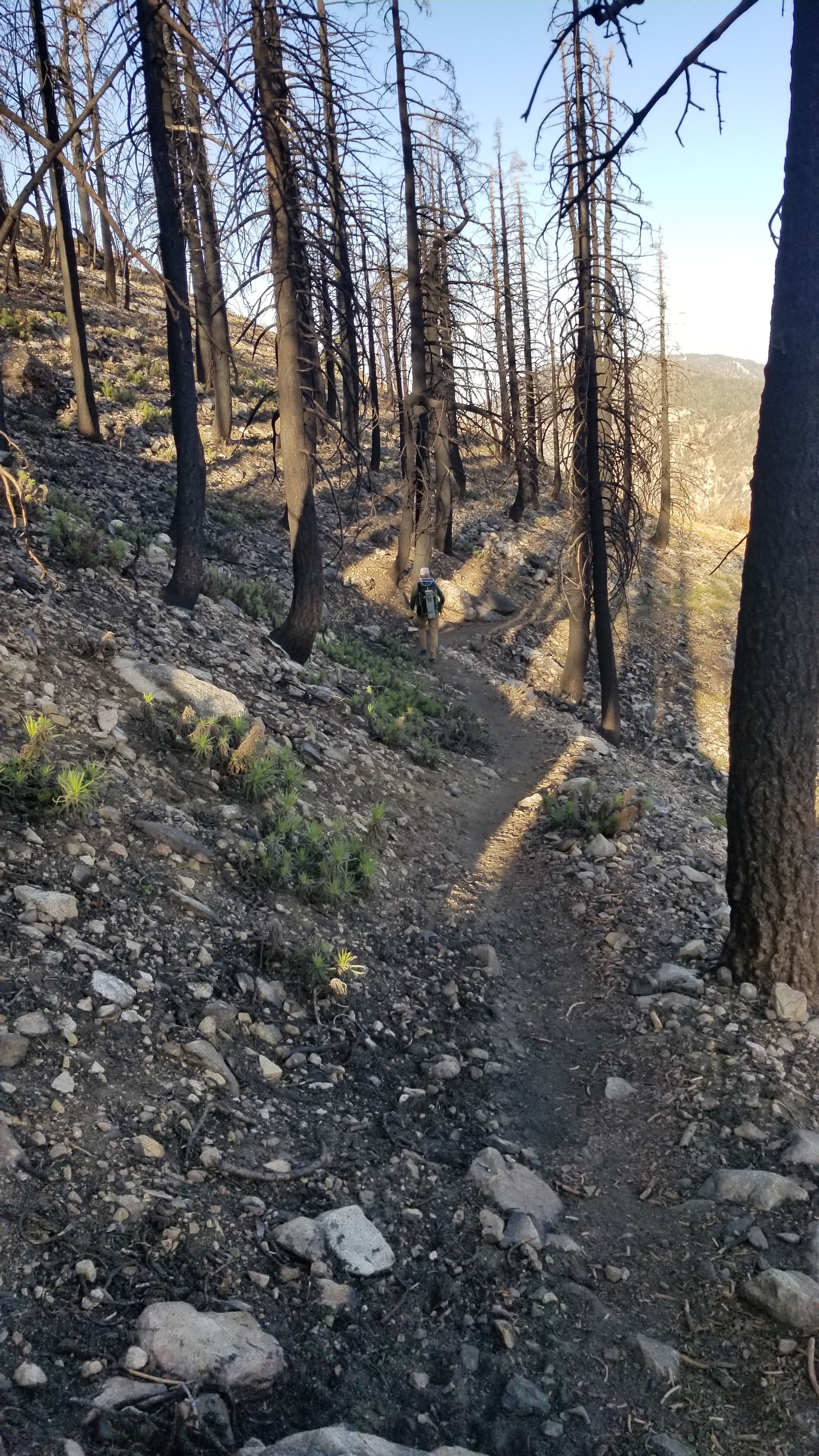
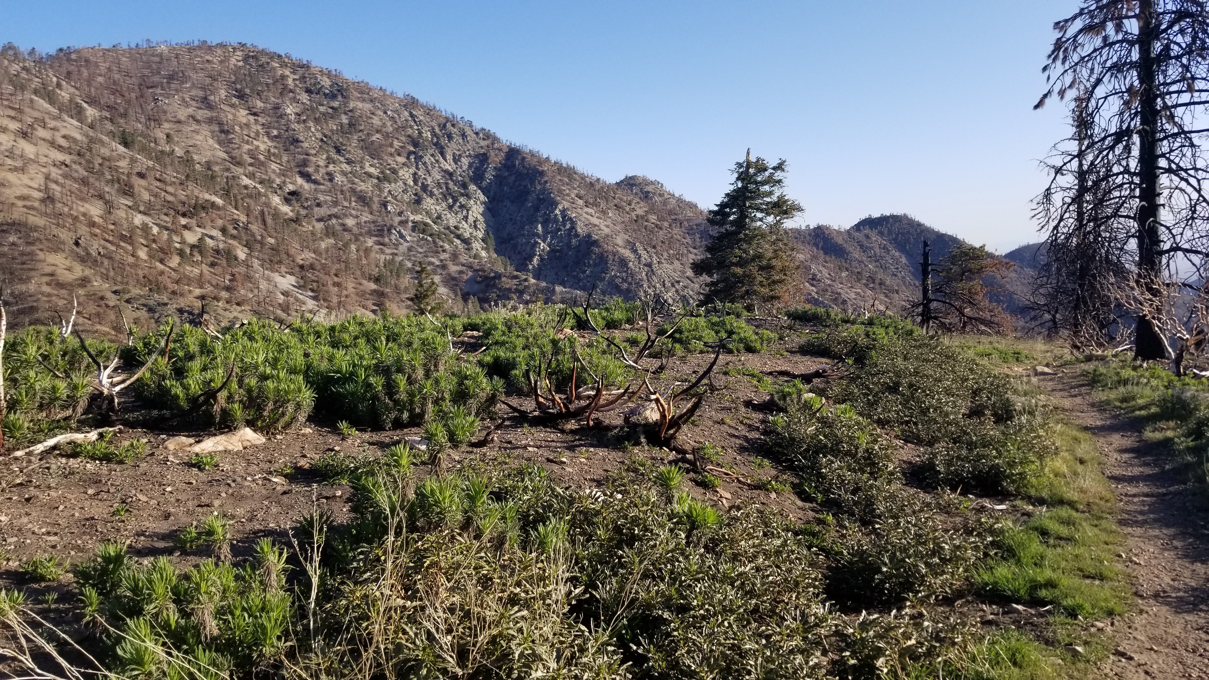
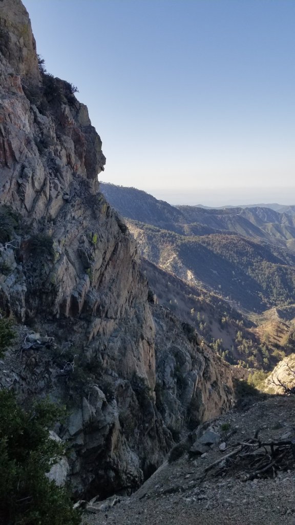
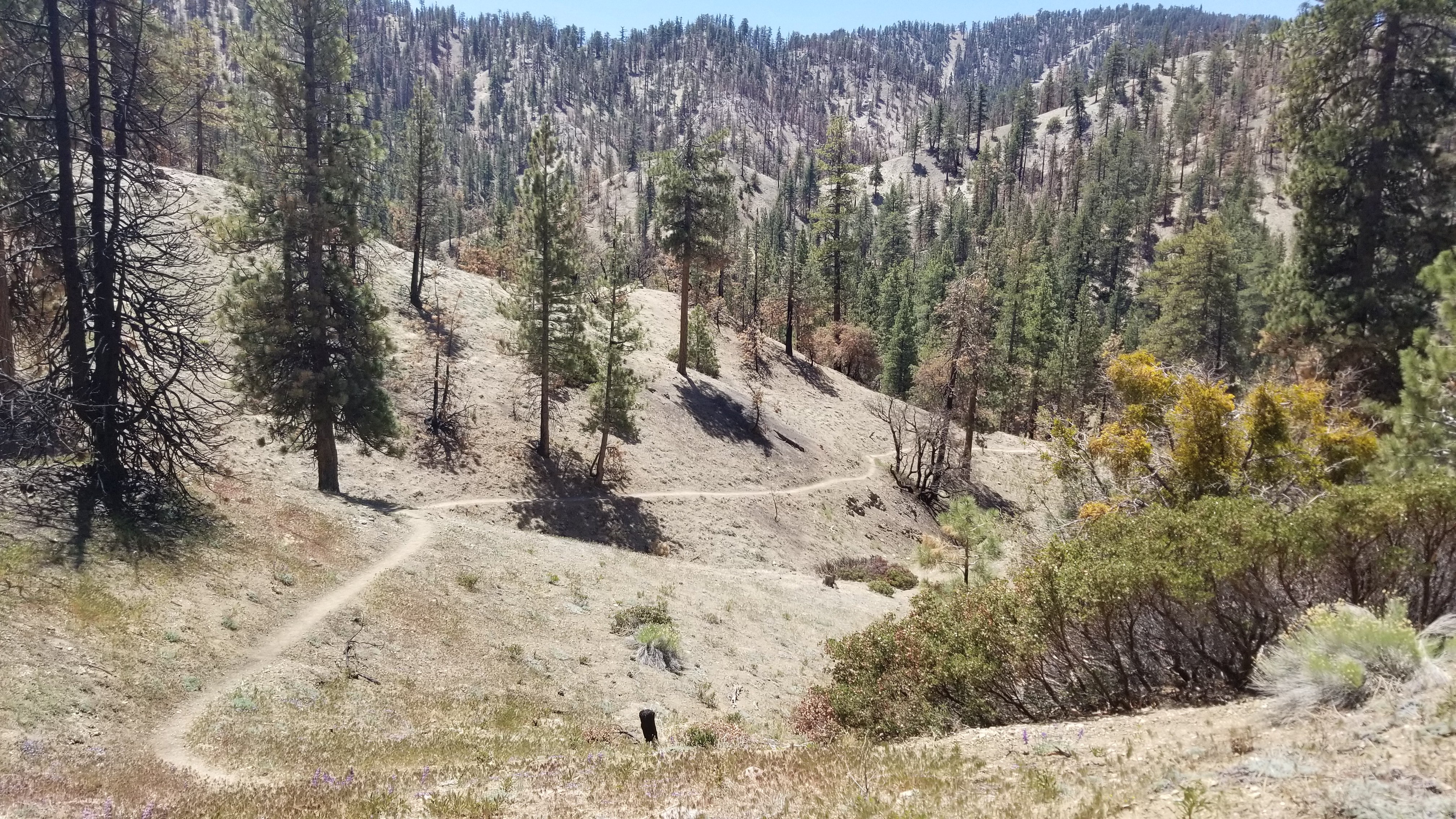
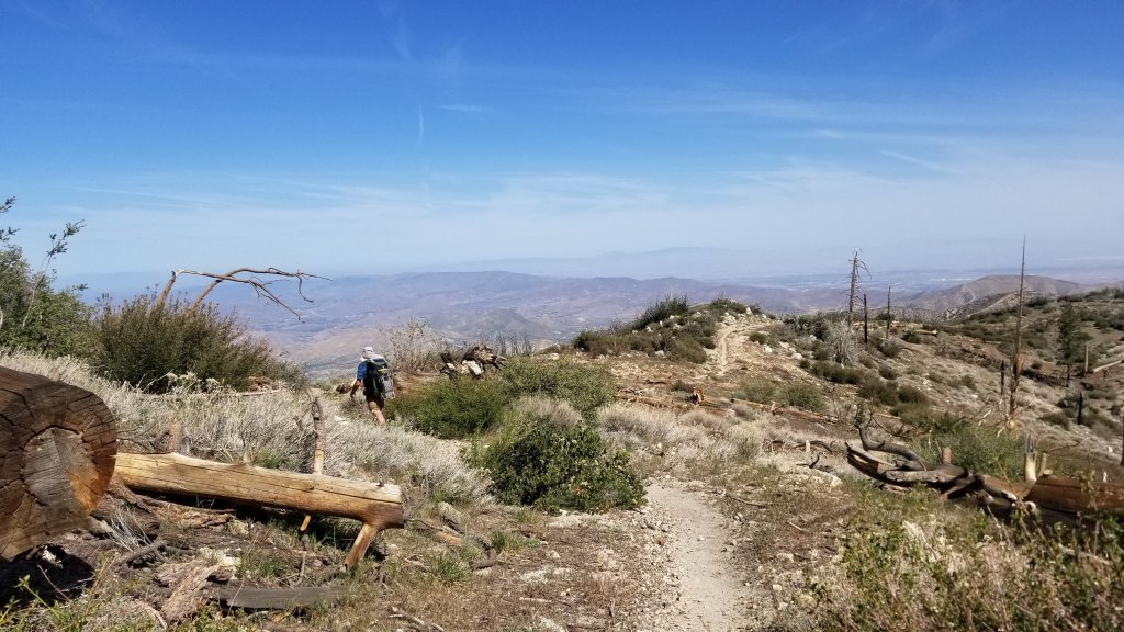
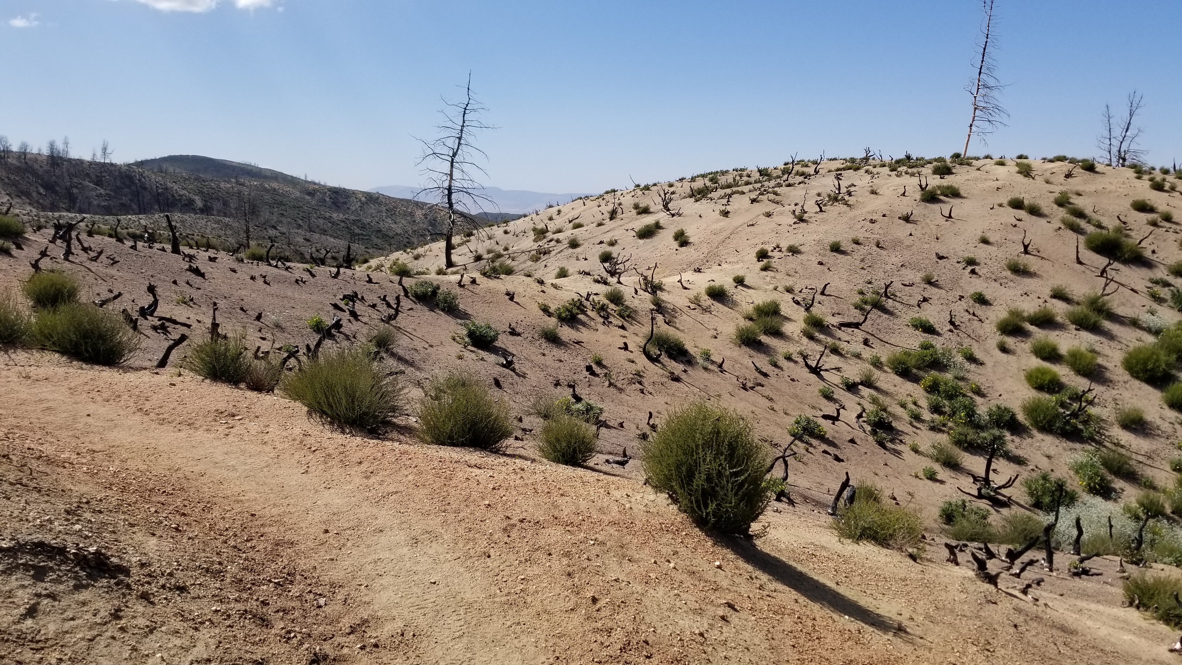
Looks like Canada eh?The high pointBristlecone PineJobie and JaybirdAs the trail turnsAnd turnsRecent wildfire aftermathMorning hike through the burned forest
Poodle-Dog Bush is a dreaded plant for its ability to cause itch and rash similar to other poisonous ivys. These are small young plants but they can grow to 4′ tall and lean into the trail!! I get squeemy thinking about their power as I have been known to get a severe reaction to other poison plants. They grow in areas that have been burned which helps us to identify them accurately. It is said that even if your trekking poles touch the plant, the fine hair fibres will stick to your poles and can be passed on to your skin. This holds nightmare potential and paranoia for me! I tiptoe, hold my breath and tread as thinly as possible on the trail when these are spotted.
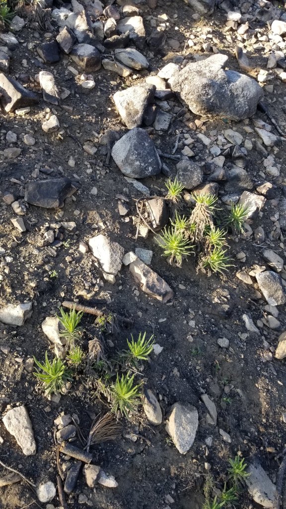
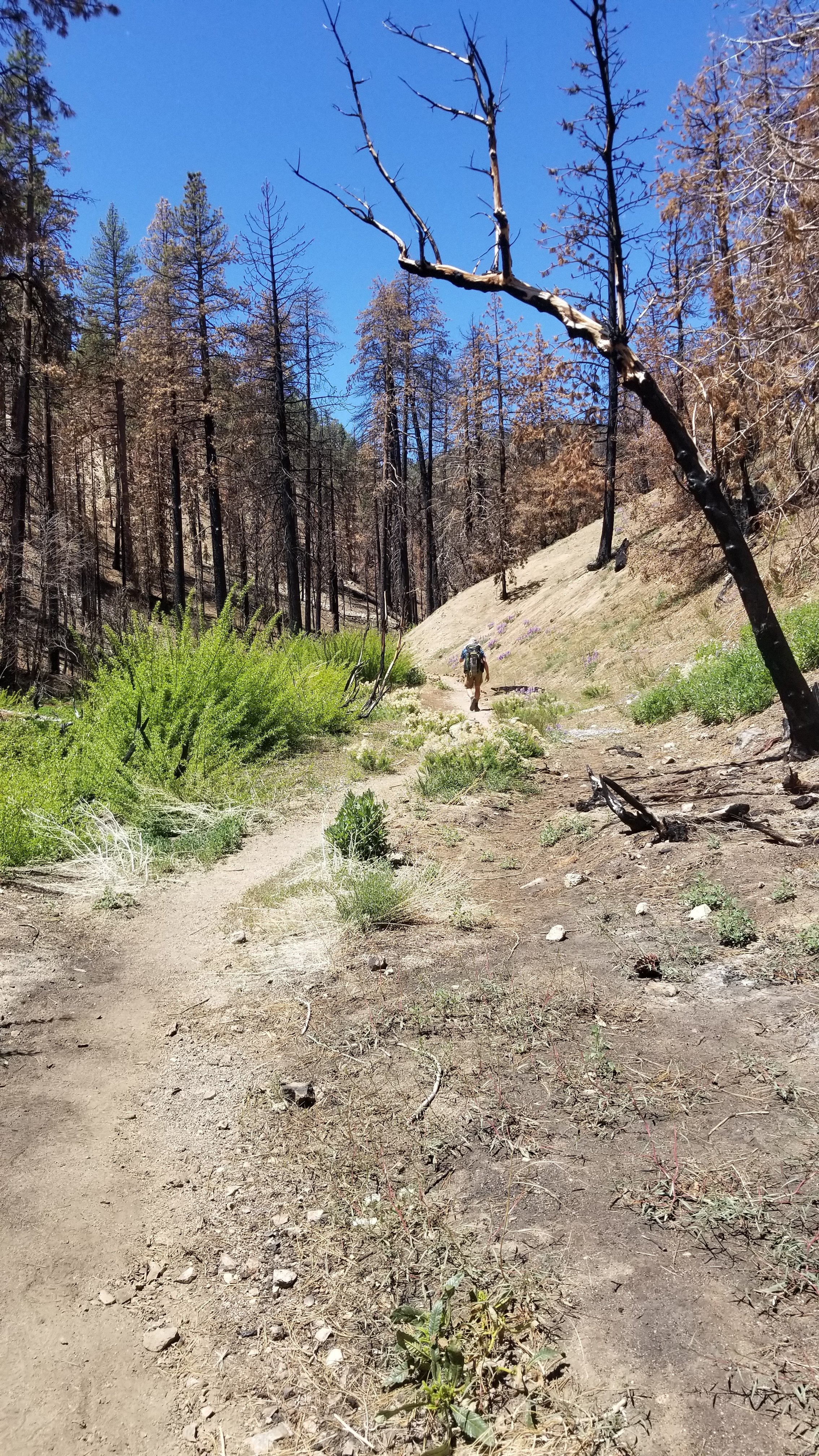
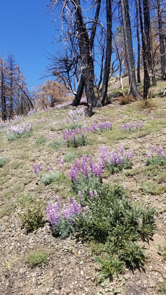
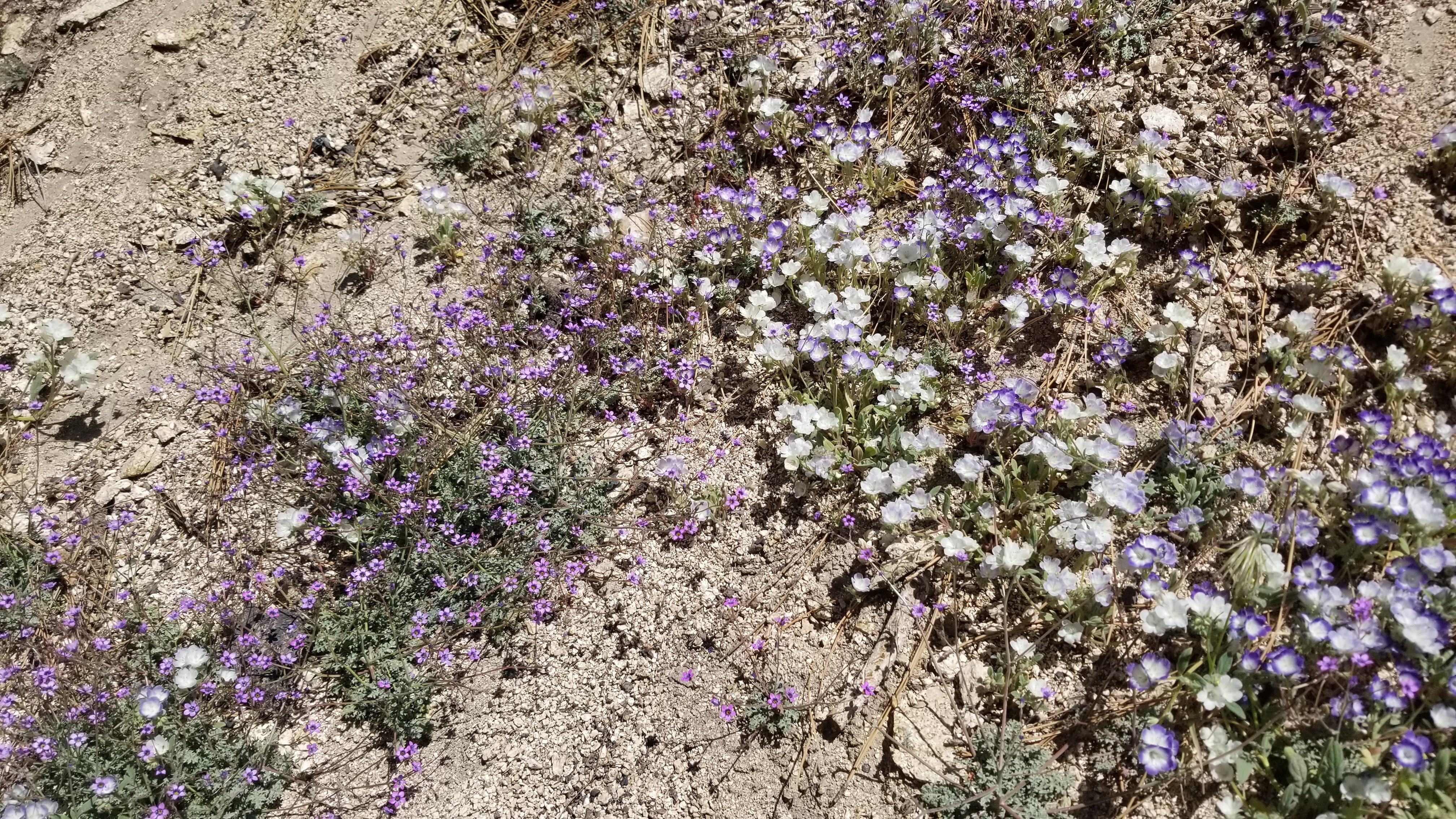
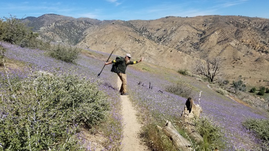
Poodle-Dog Bush along the trailYUCK! More Poodle-Dog BushDetour along a road to skirt an area closed to protect a species of frog.Renewal after the fireLupines! Cheer us on!Carpets of purple, pink, white ground coversA peaceful gentle walk despite the midday sun!And just around the corner a maintenance crew!
The person working the brush saw is a thru hiker that arrived at Kennedy Meadows, the staging point for heading into the tall Sierra Nevada Mtns, early in the season. The PCTA (Pacific Crest Trail Association) recruited him to clear trail since he has 30 yrs landscaping experience. He volunteered and us hikers are all reaping the benefits of his labour!! THANK YOU! THANK YOU!
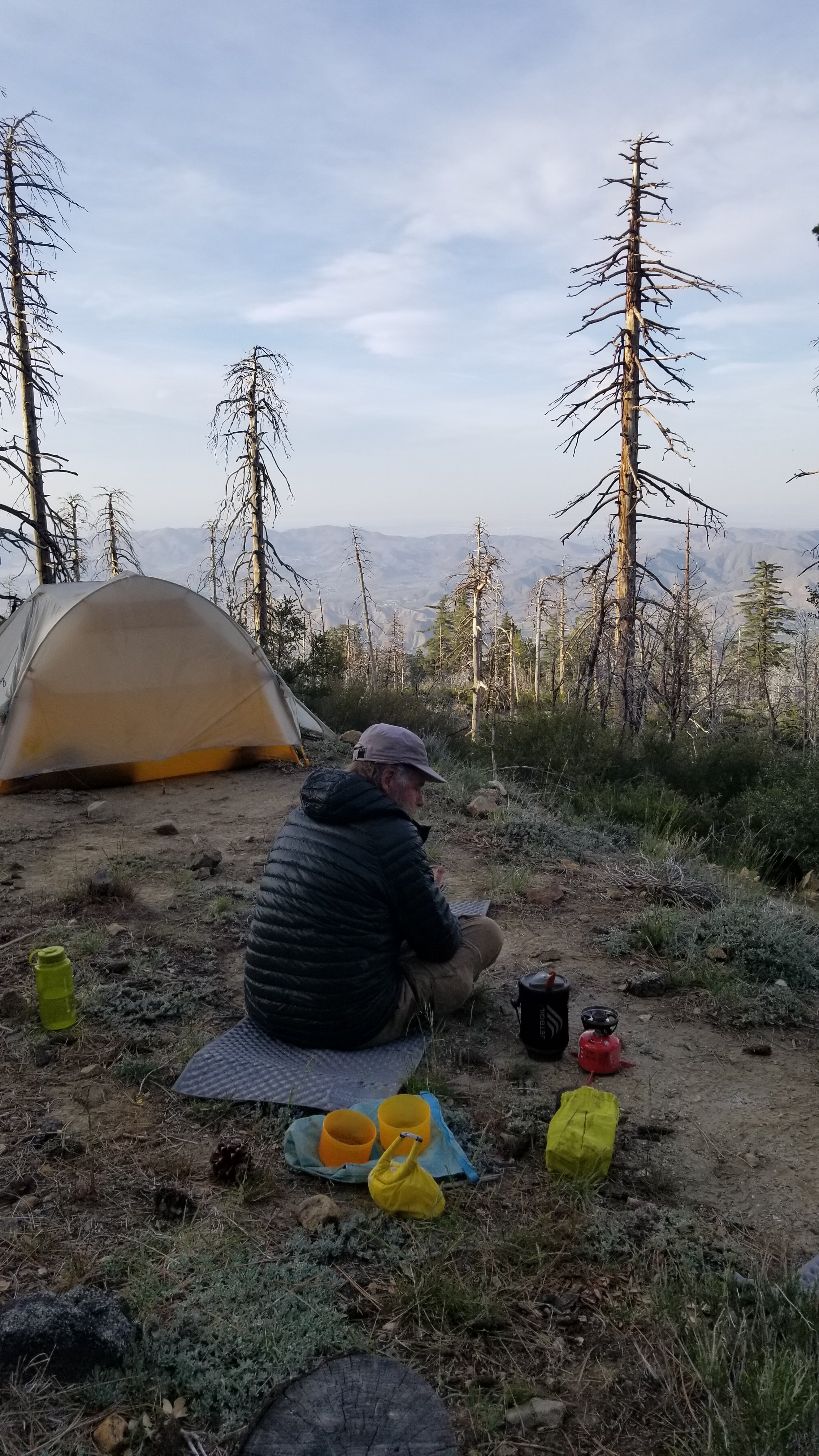
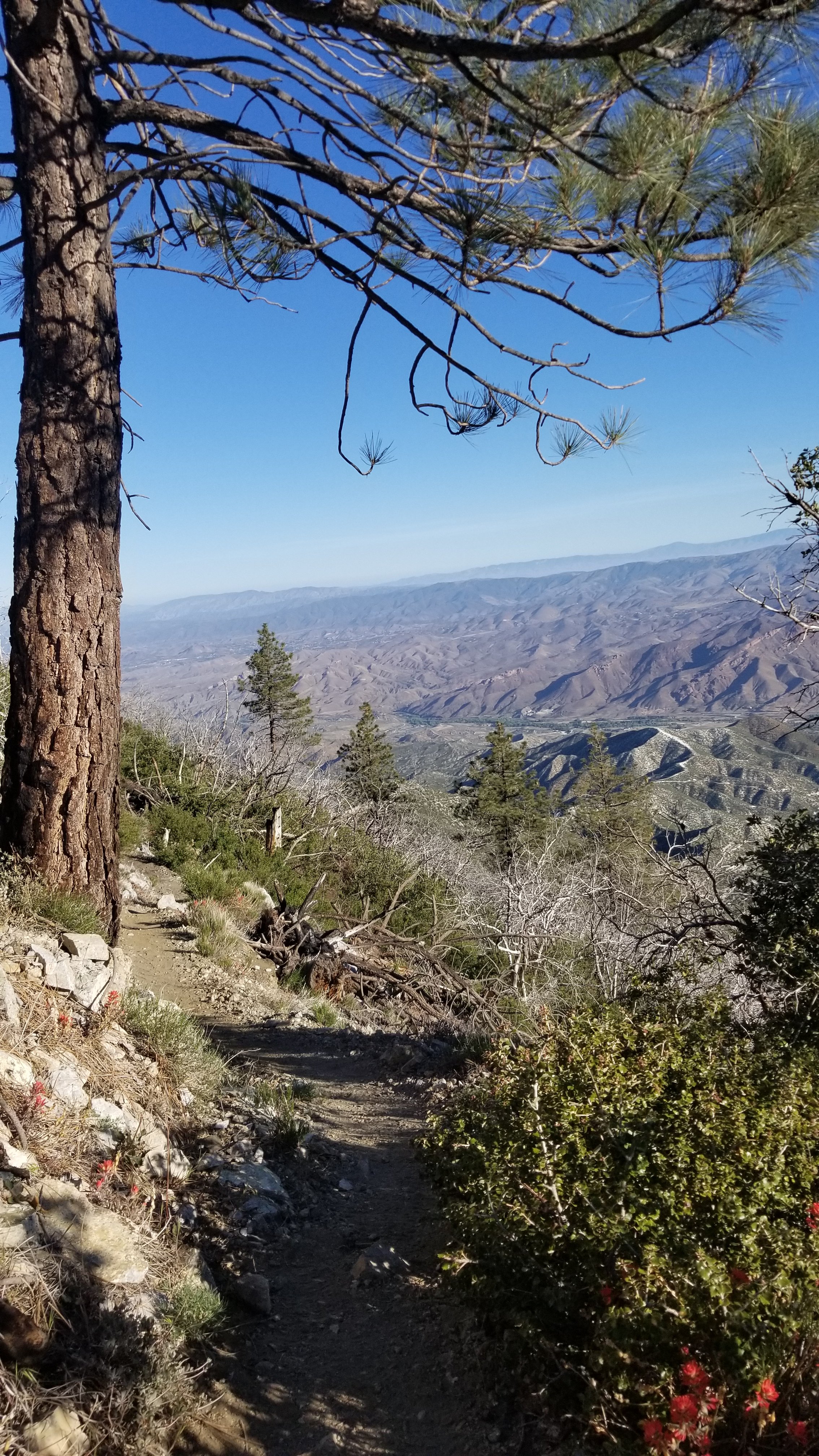
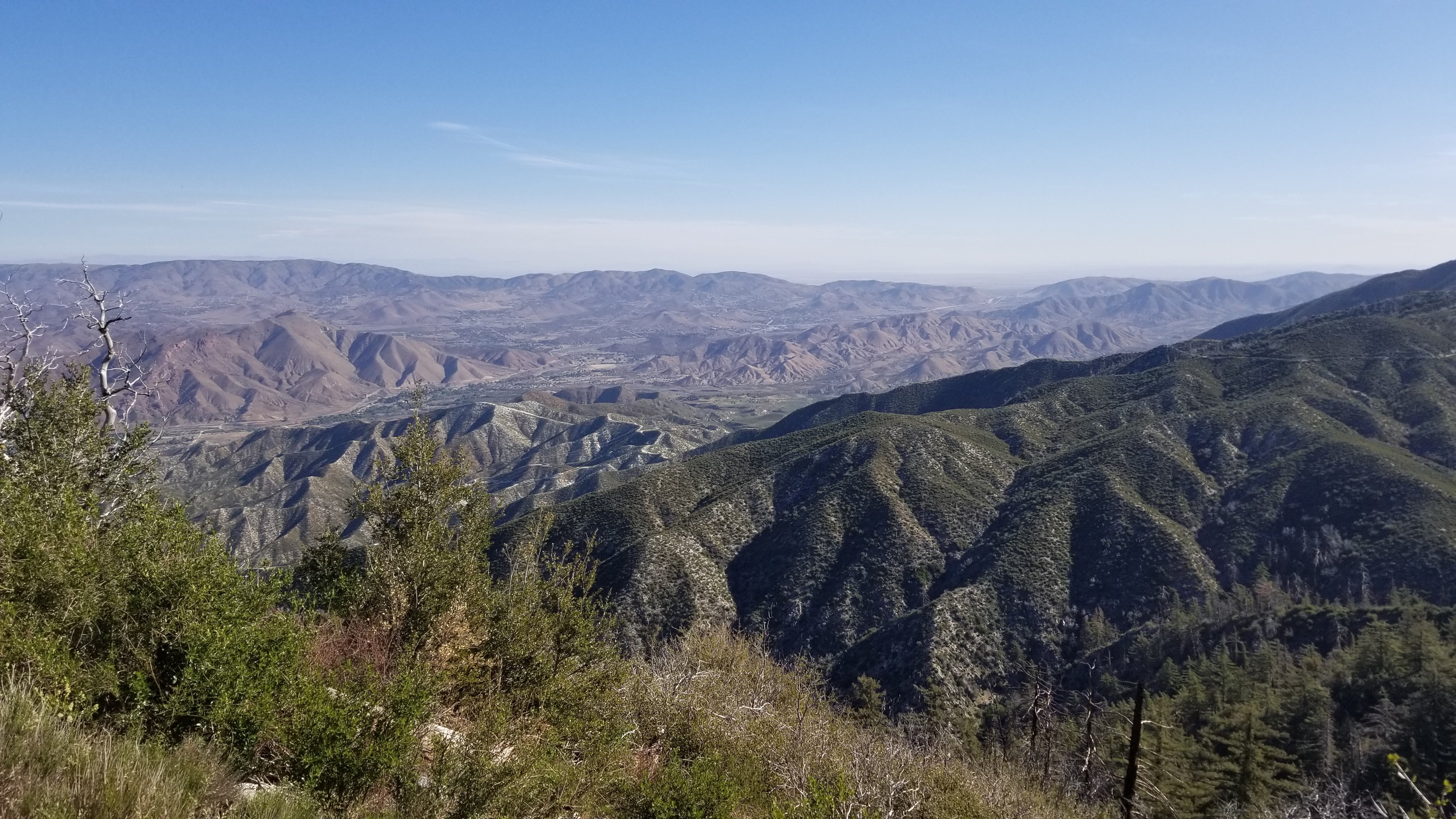
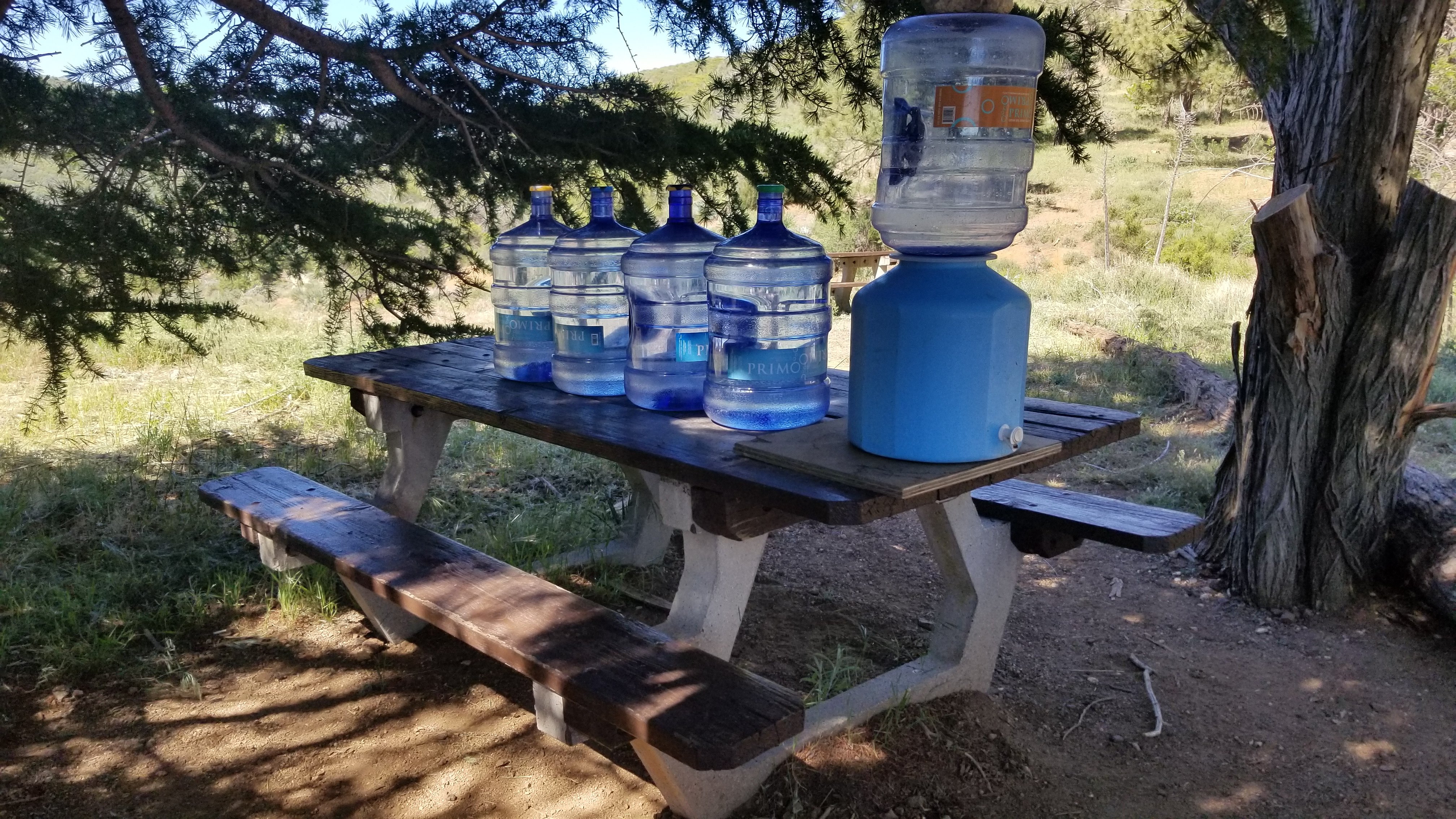
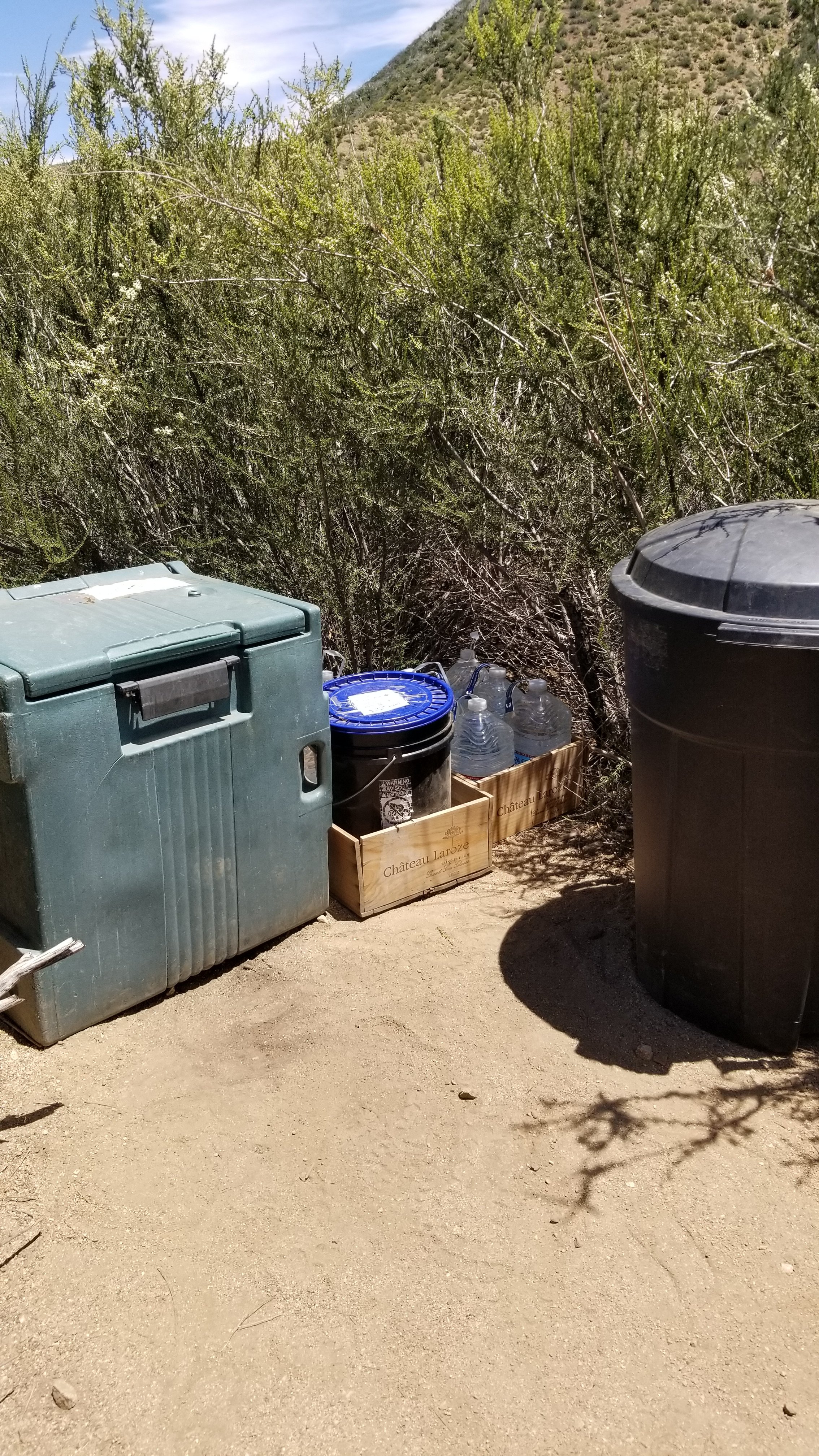
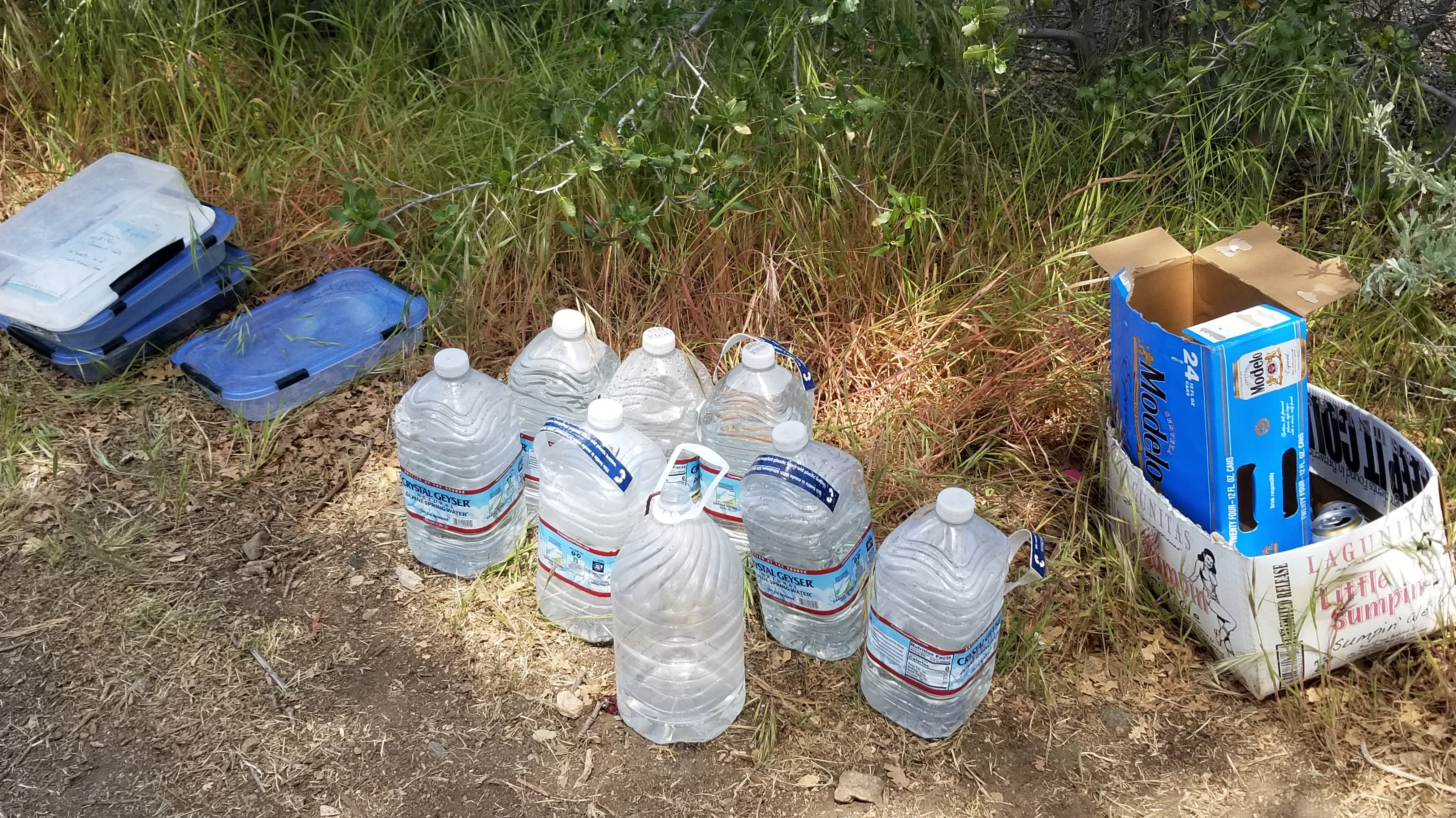
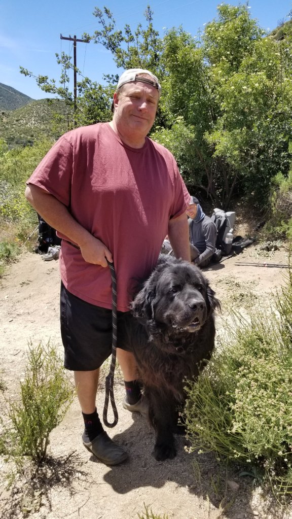
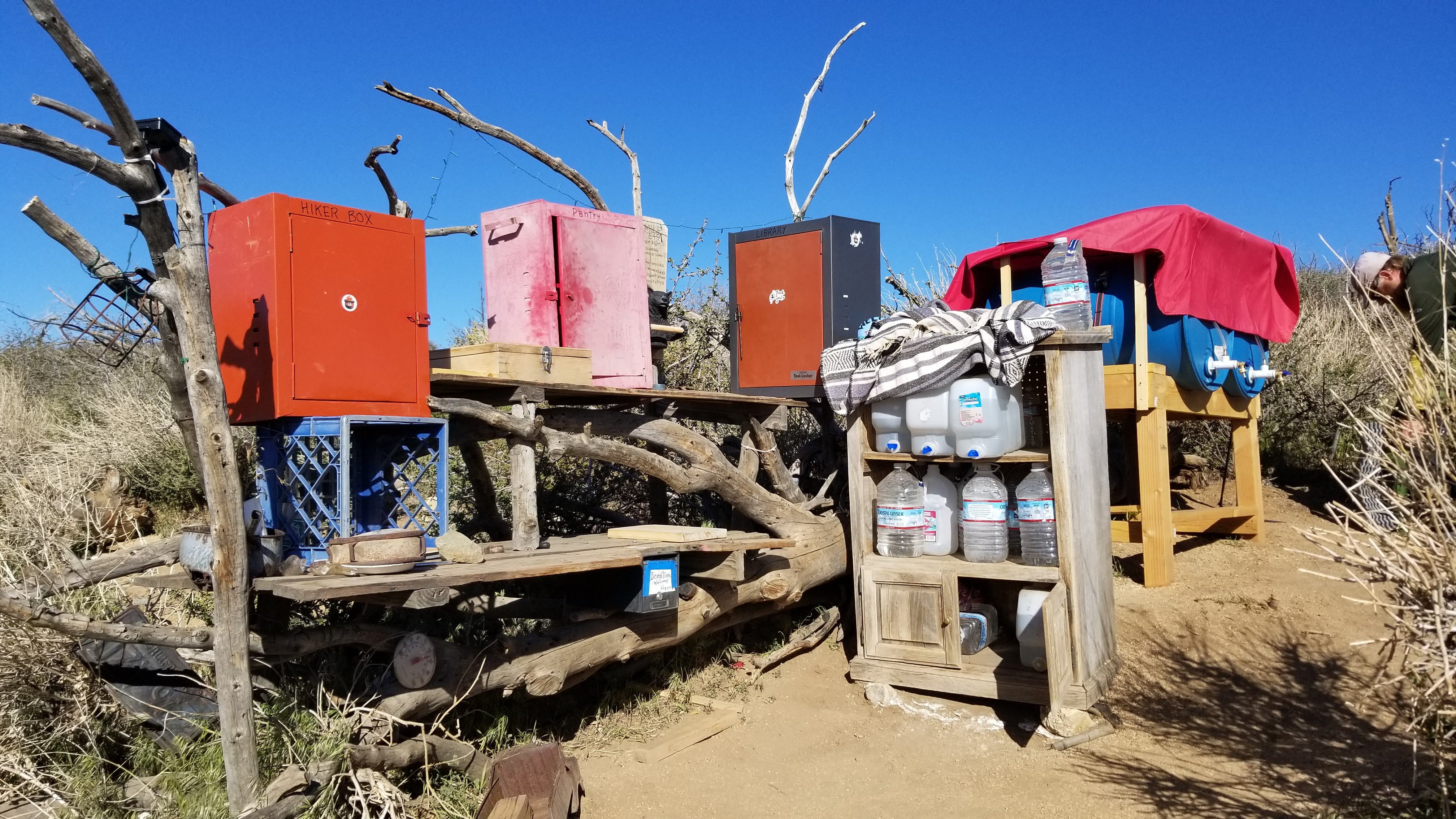
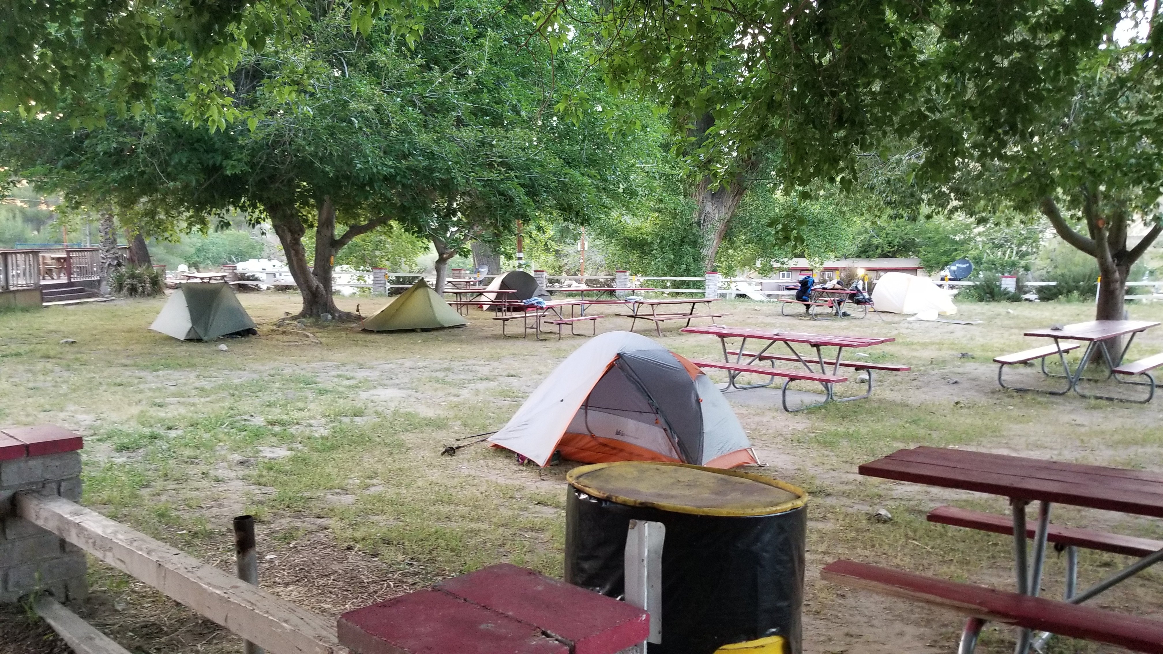
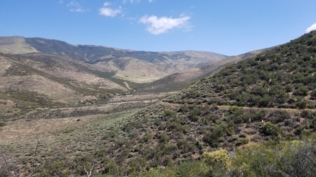
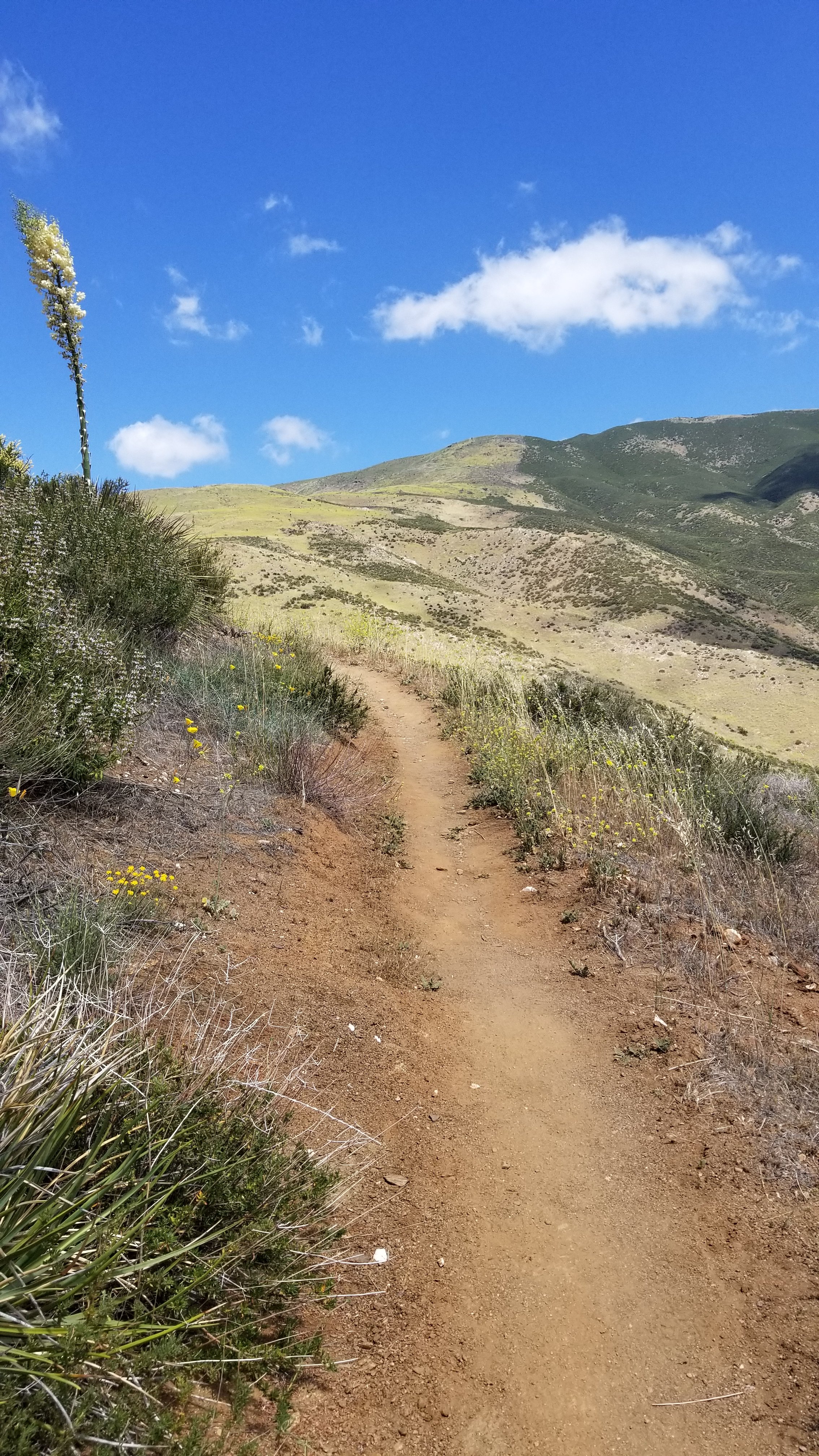
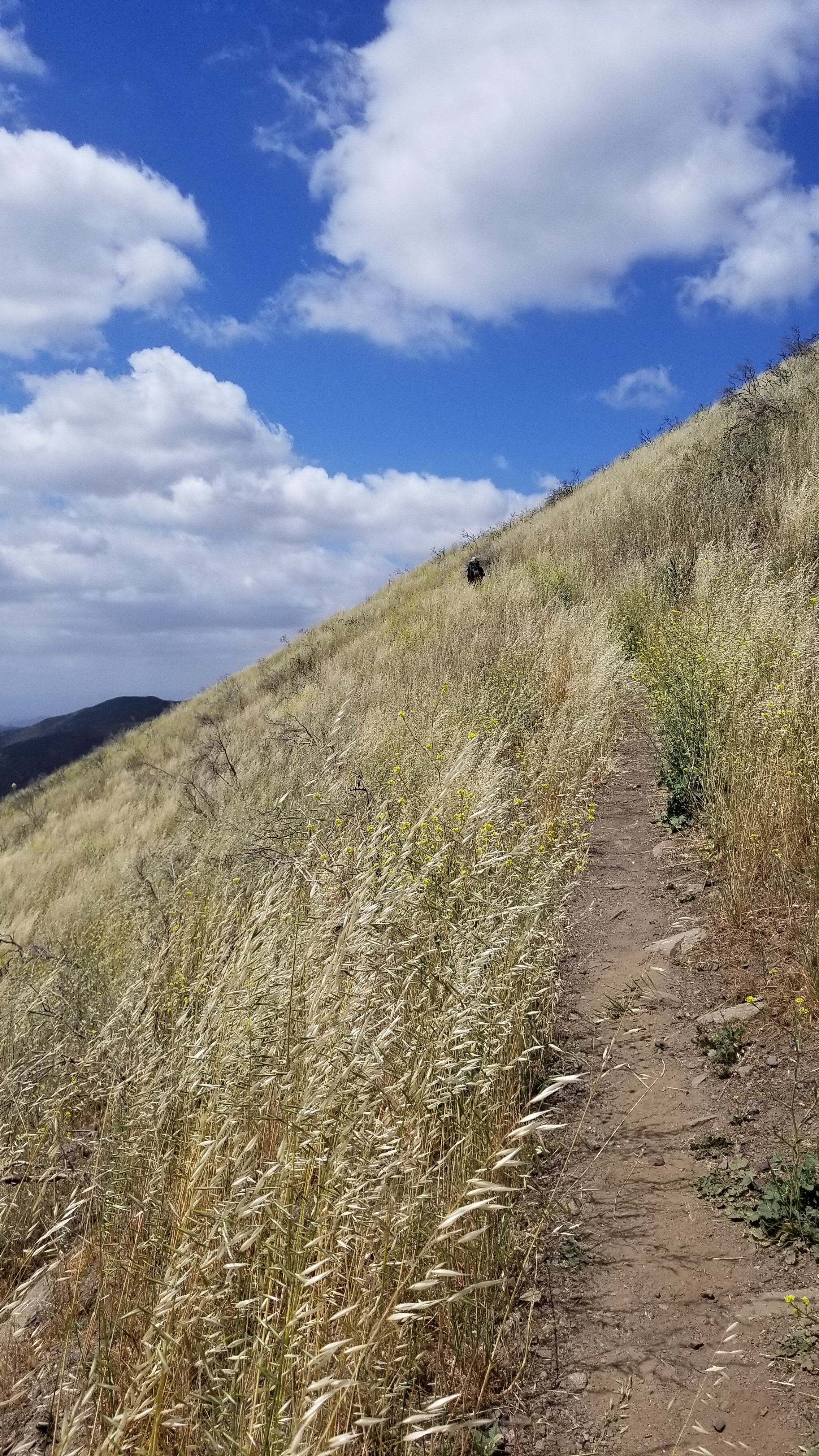
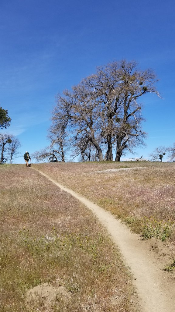
Midday walks in the hot sun are always eased by the flowers along the path.Camp overlooking the Mojave desert valleyThe San Gabriel MountainsWater cache supplied for hikers in dry areas voluntarily by various people called Trail Angels. Again THANK YOU! THANK YOU! This cache also had little bags of cookies! Yeah! A sugar buzz!When you stumble across an unexpected cache of water in the desert, you feel so fortunate and instantly secure.Rick a trail angel, big body, big heart, bigger dog!This cache had a library, pantry, and hiker box! Most have a donation box so bringing cash is necessary. You know, we hikers WOULD NOT BE ABLE TO DO THIS HIKE without these caches in southern California. THANK YOU! THANK YOU!Finishing up in the San Gabriel MountainsComing into Acton California for a day off known as a “ZERO”, so called on a day you do not walk any miles. This trail is all about the miles because it is soooo loooong!Overlooking Acton campgroundCamping with the other PCT hikers at the Acton campground. Must have been 30 tents as the day went on/ probably 50 hikers.
One thing you can say about PCT thru hikers is they go to bed early, don’t make much noise, are all over covered with a thin layer of dust, eat a lot of pizza, are VERY organized and speak many languages.
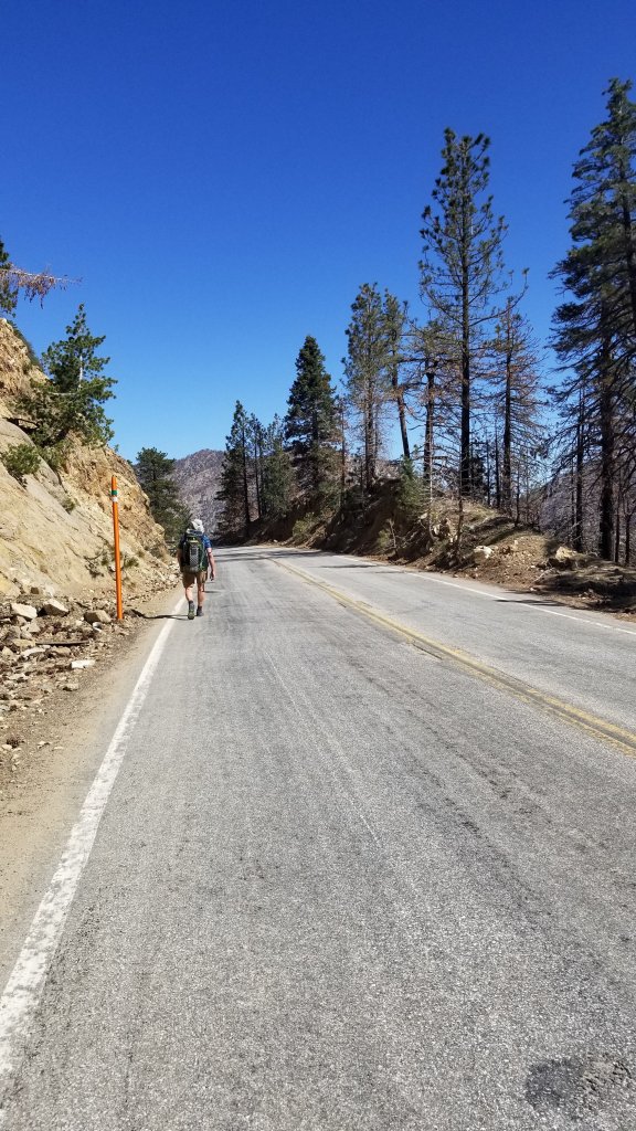
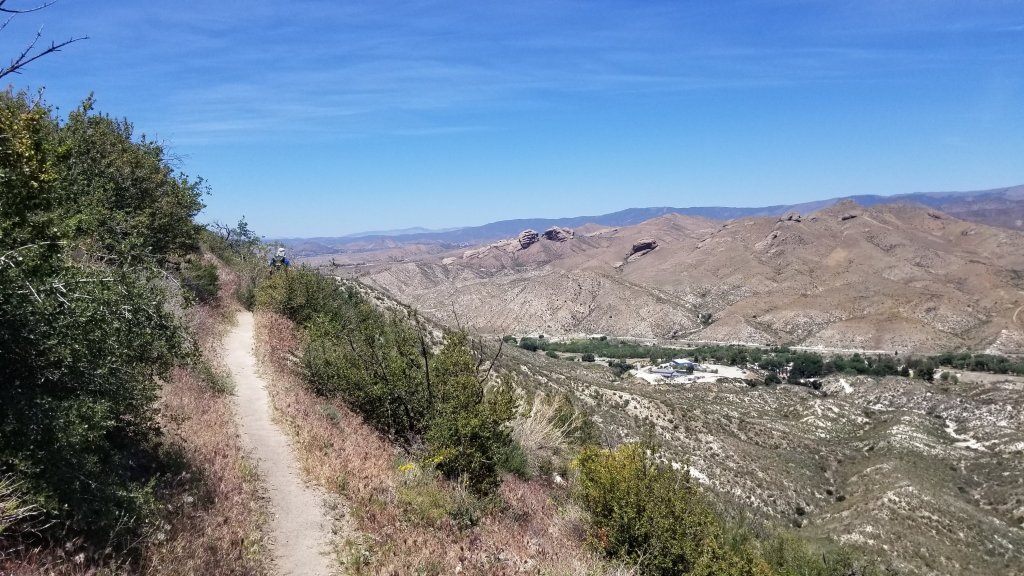
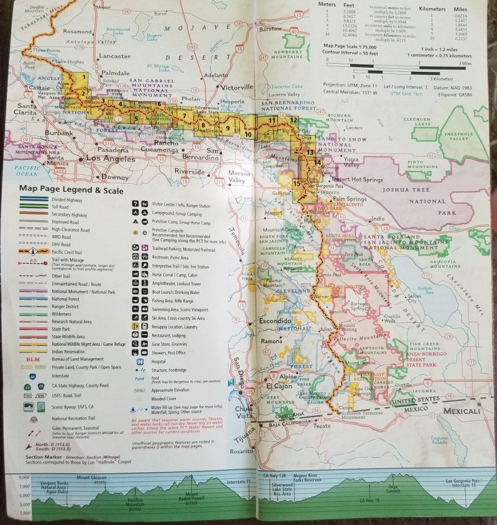
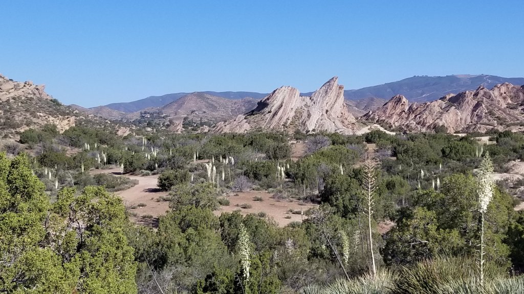
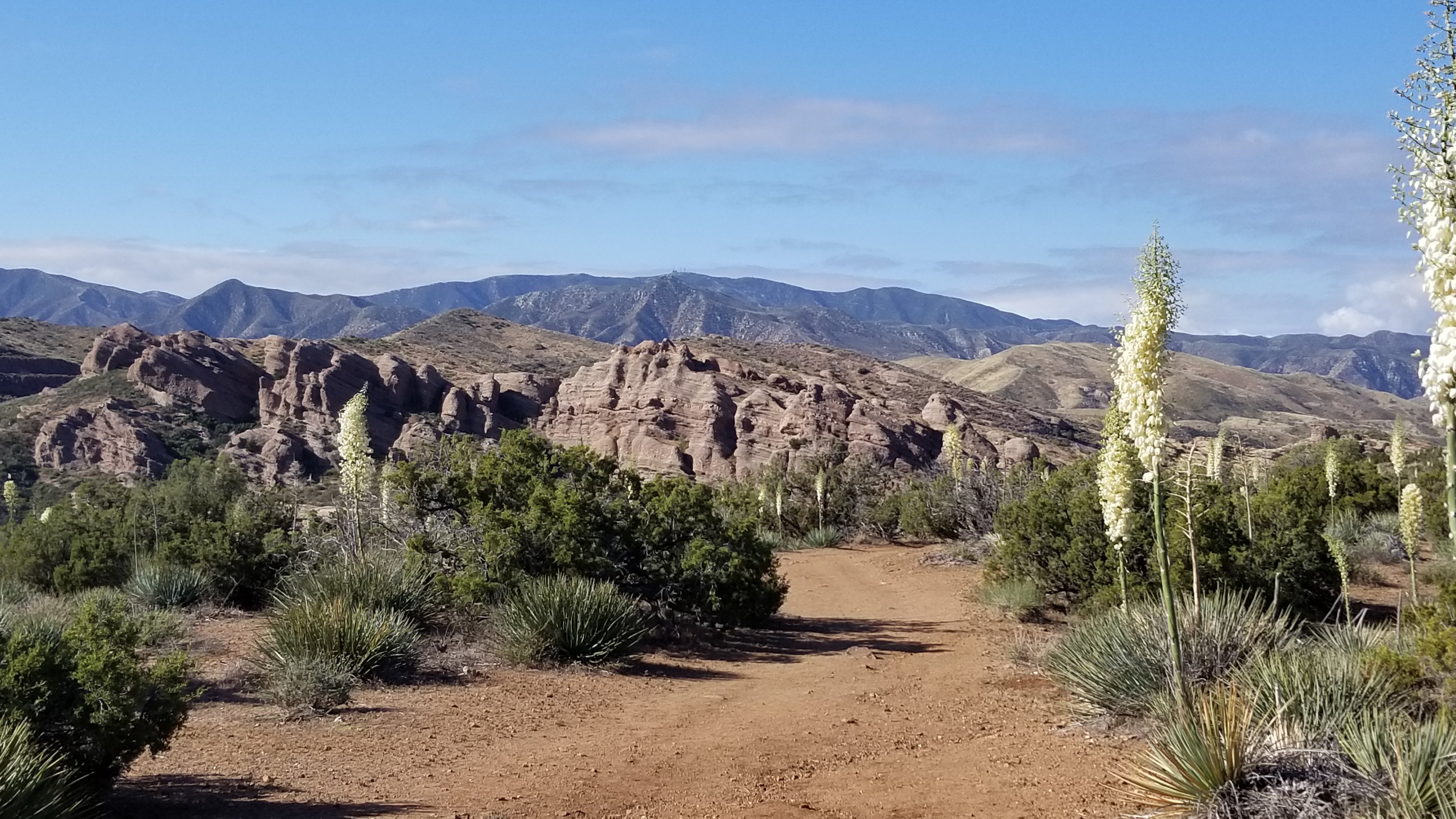
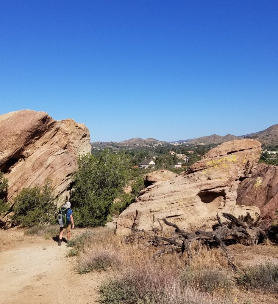
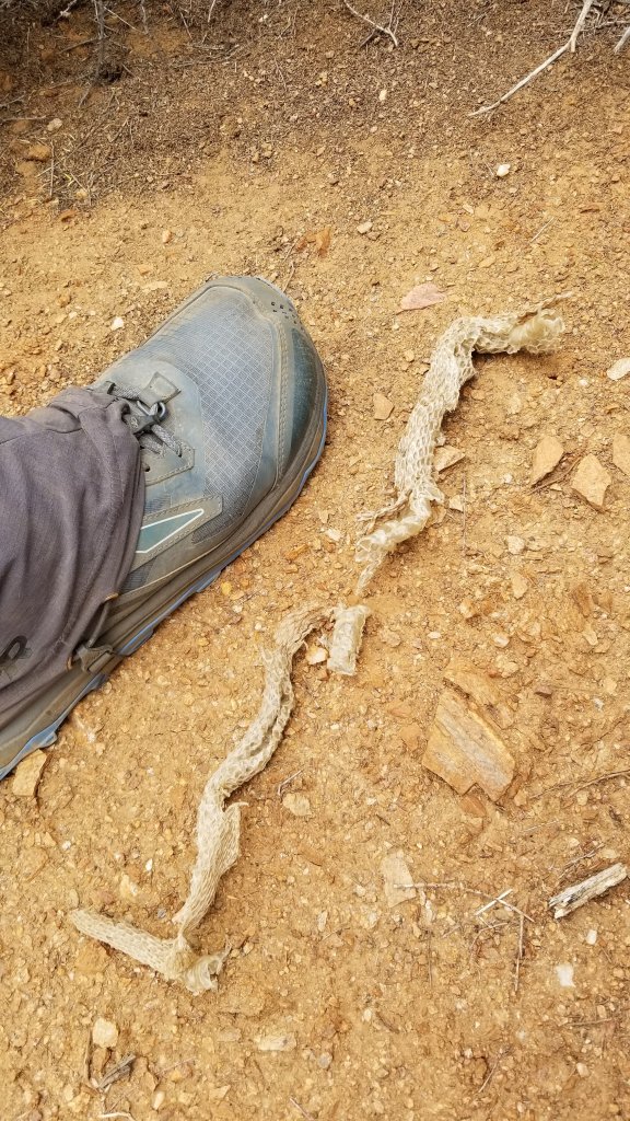
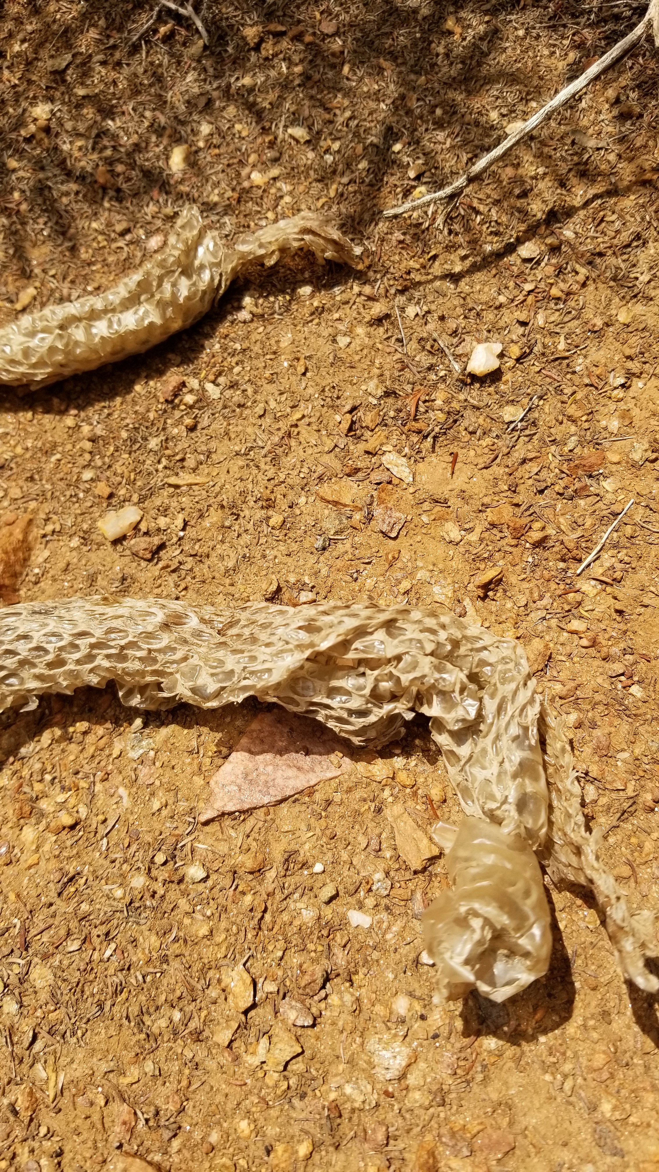
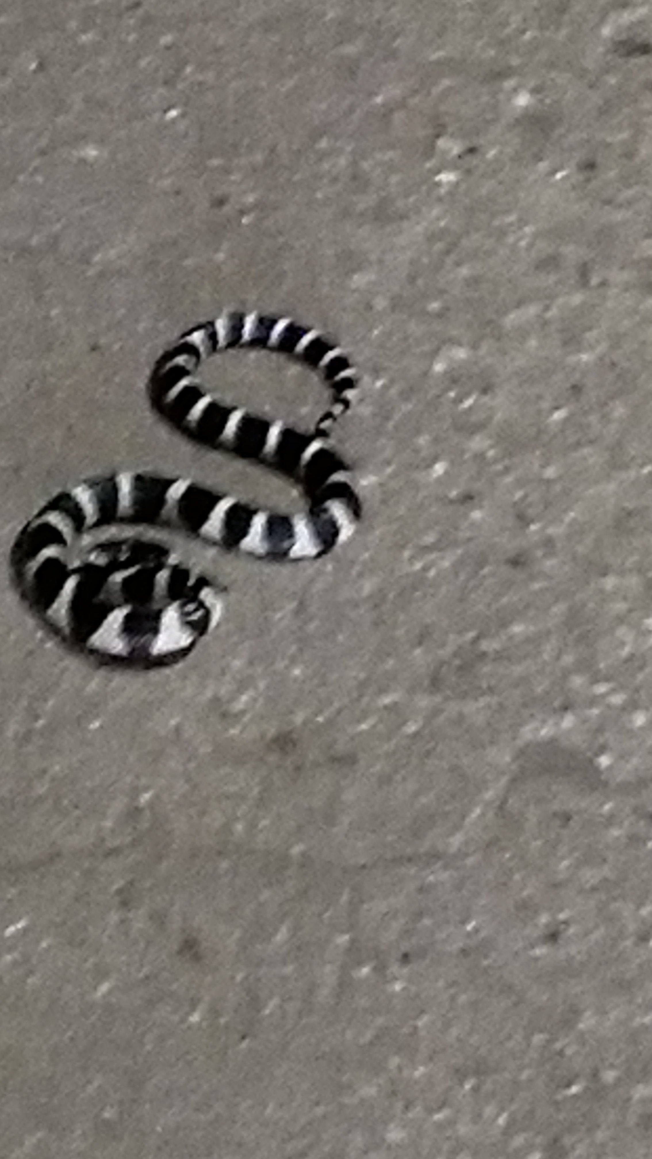
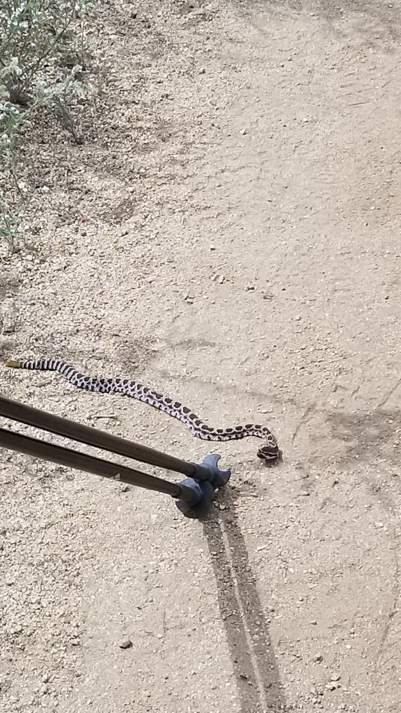
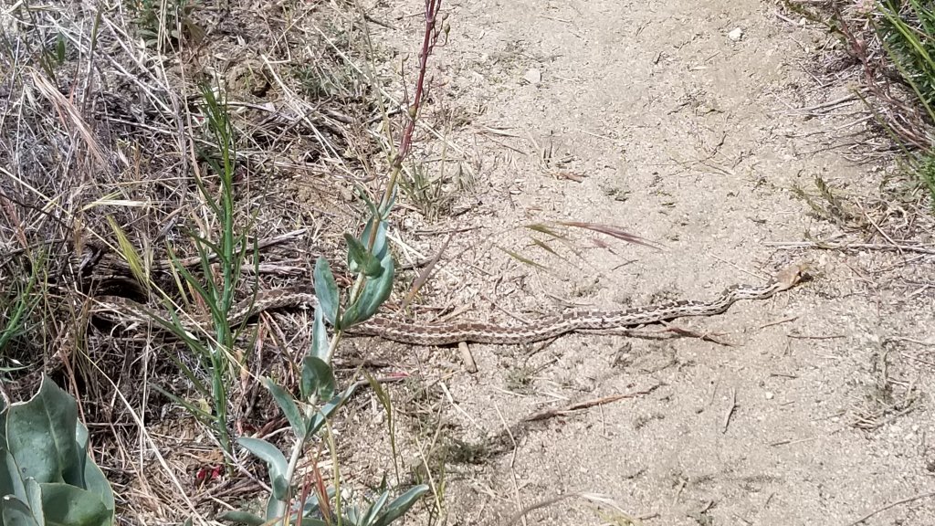
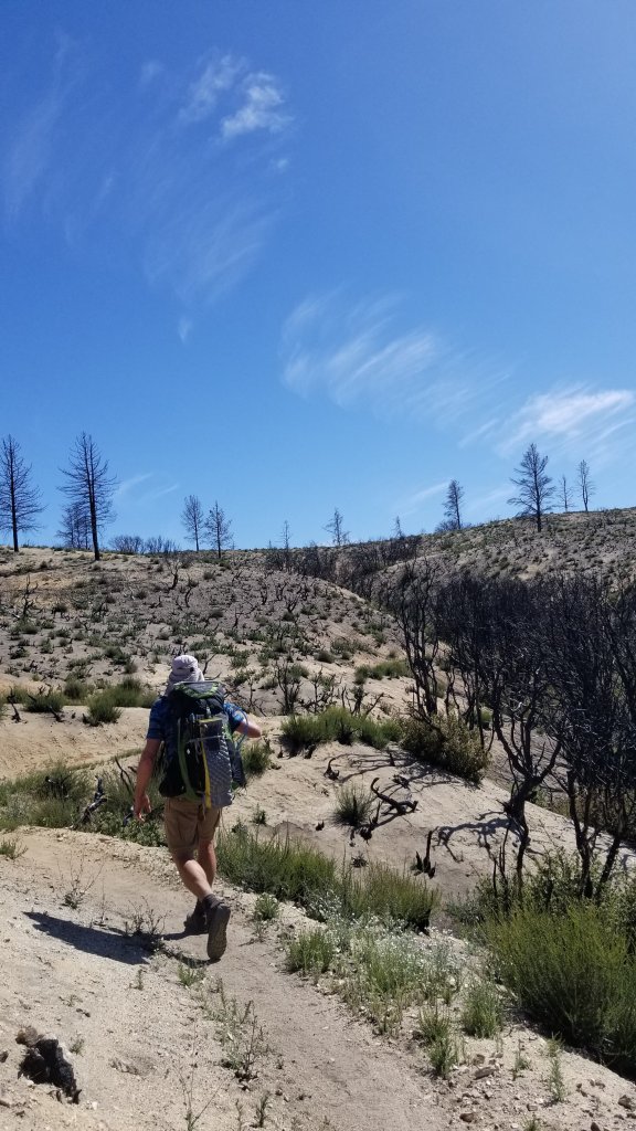
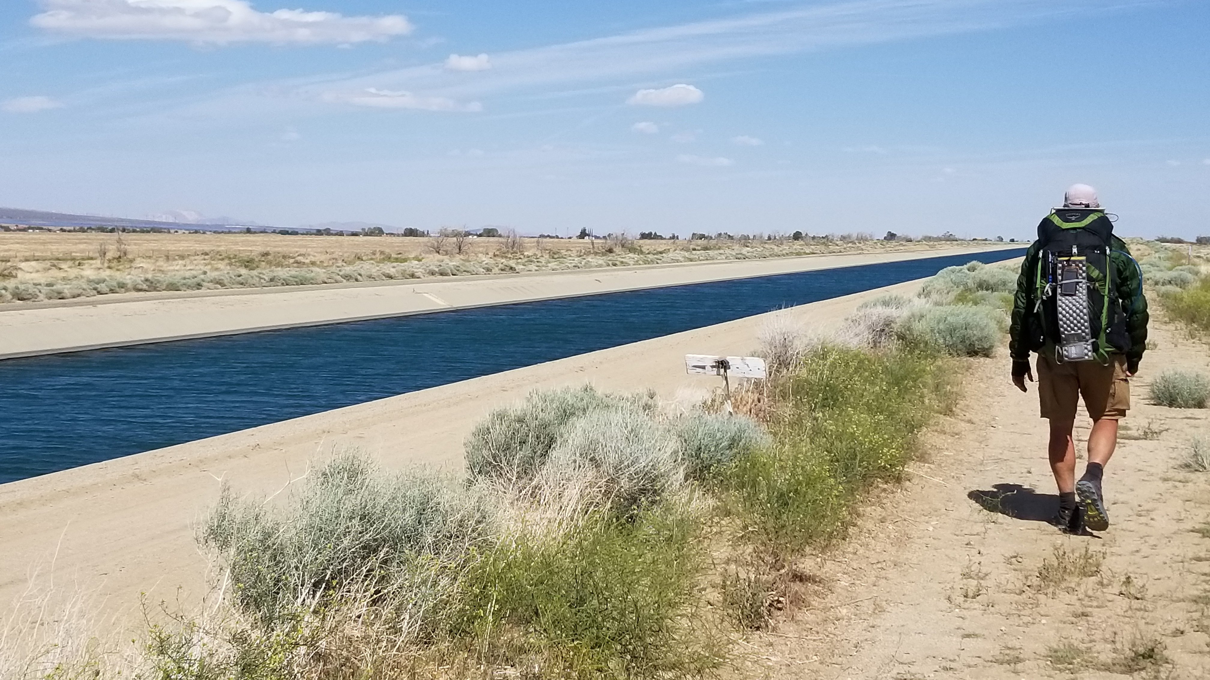
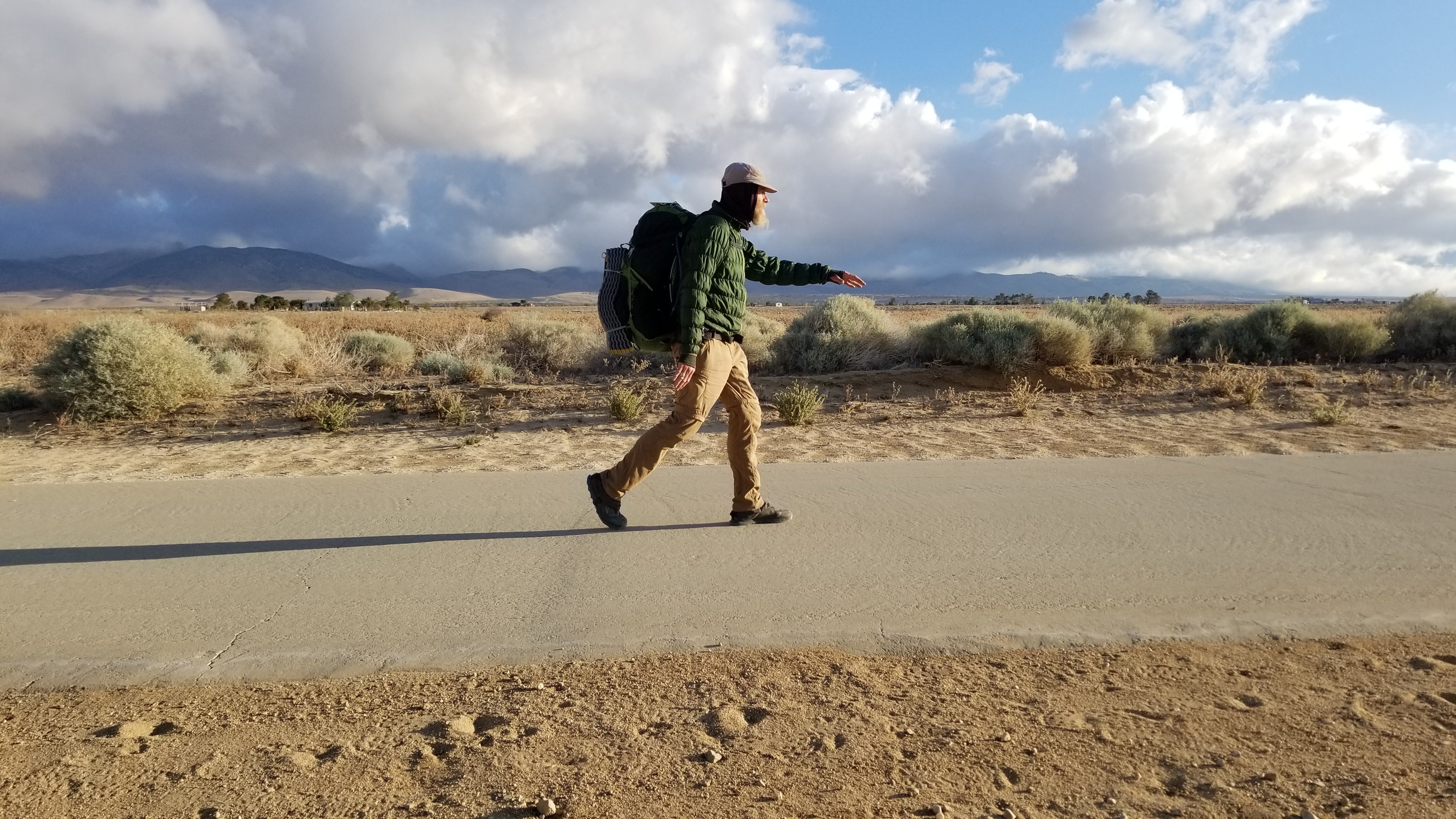
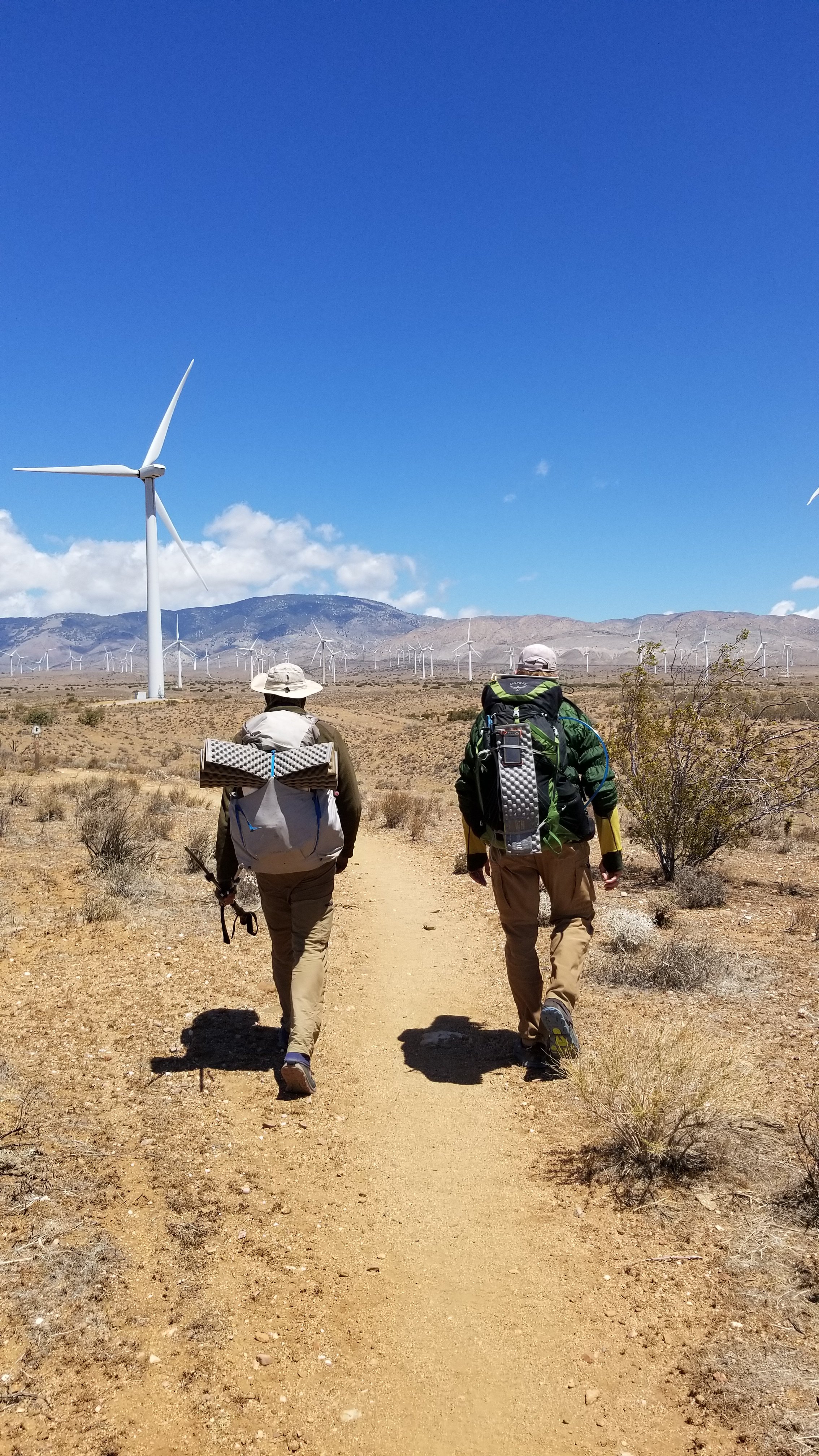
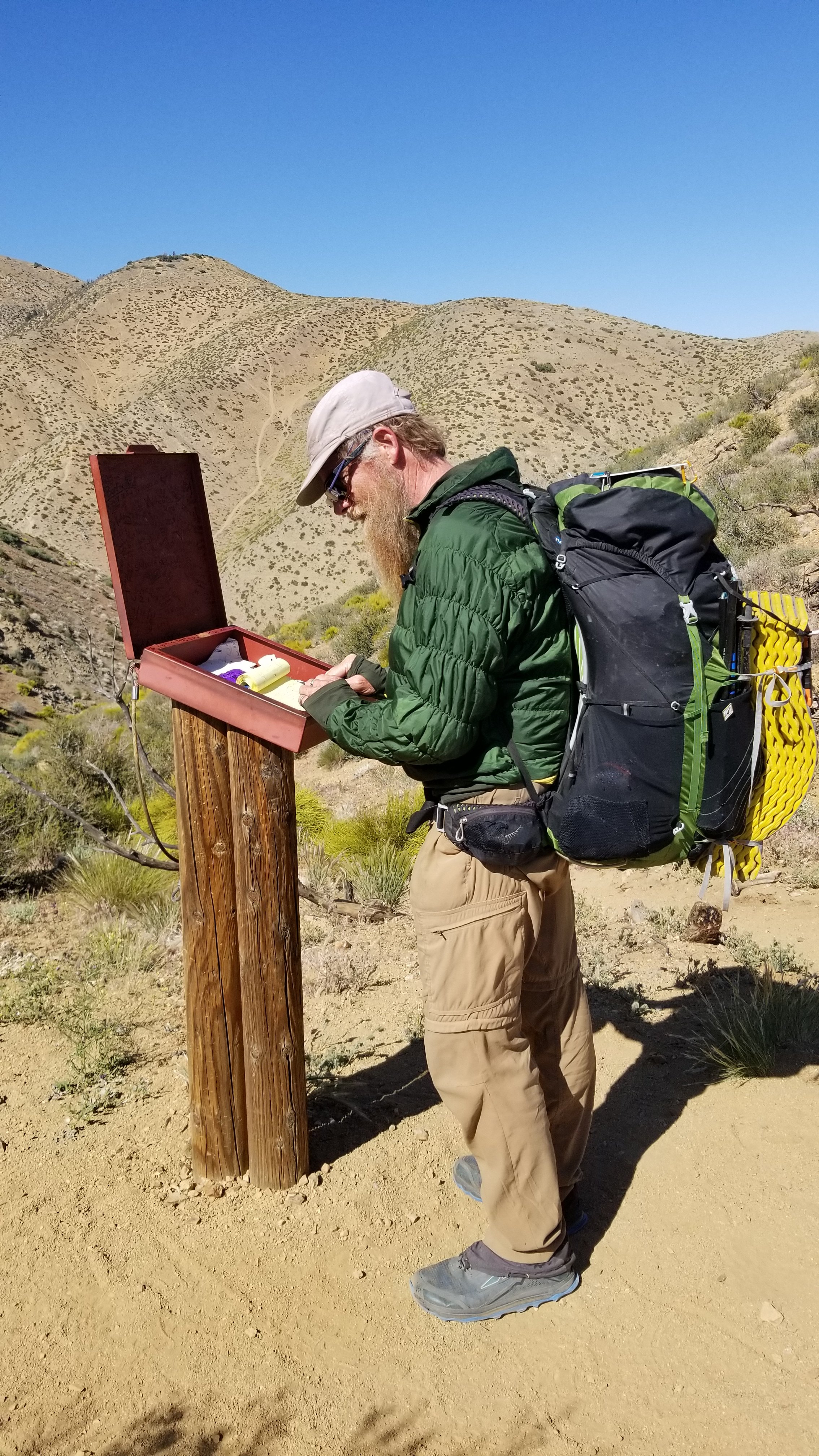
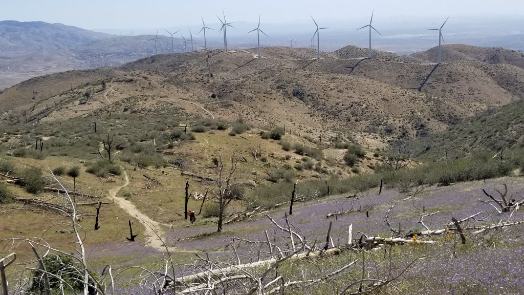
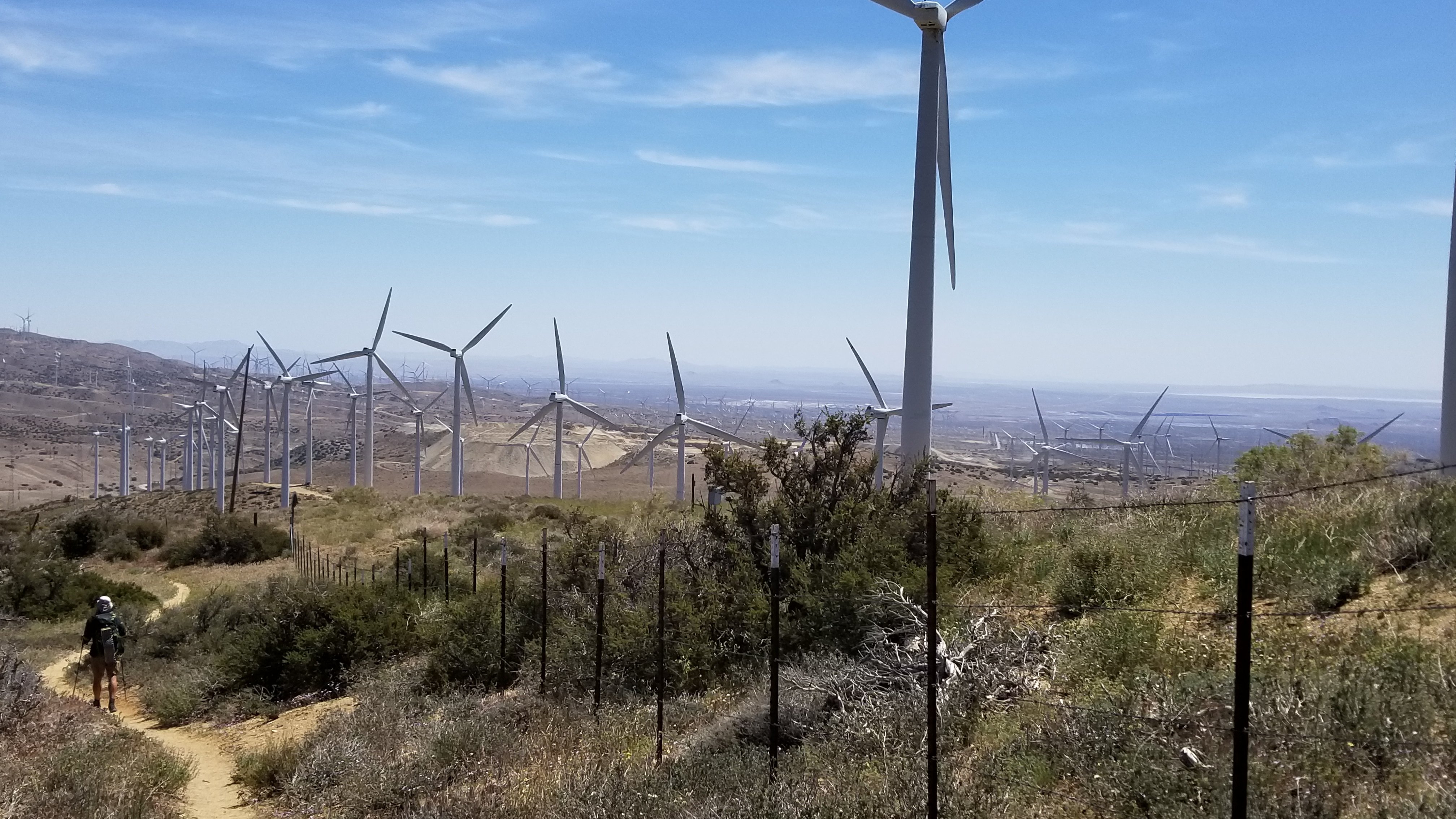
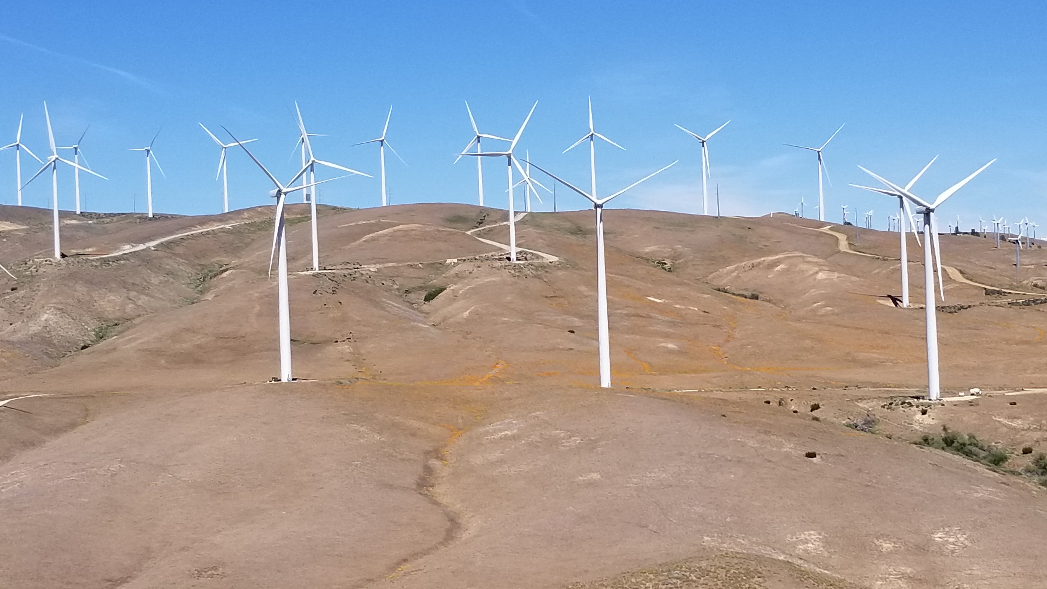
This map shows the area we are leaving behind. We have been hovering like a cloud above Los Angeles and now we turn the corner and head north. Walking home to Canada!Vasquez Rocks natural area near Aqua Dulce town.Many a Hollywood movie has been filmed amongst these striking rocks. This is America after all!The trail up aheadColours of an artist’s palette, so rich!I saw the wind this day!This sour smelling spring hidden under a huge oak tree reminded me of a book for young minded folk called TUCK EVERLASTING. What do you think, if you drink this water would you live forever?Must have been a big one!Rattler snake skin found on Mother’s DaySmall striped rattling snake, spitting and wiggling so that it blurred the photo. Found in a dark tunnel underpass using a flashlight! Aggressive thing! I was impressed and frightened by its energy!Mystery snake using poles to show its size. We have seen 9 snakes so far. We always shake out our shoes before putting them on in the morning!Gopher snake lazing across the path. We had to use our pole to move it along.Wildfire of 2016 was a hot one!A dusty late afternoon hike500 miles!!The California Aquaduct can be seen at the surface when we start the 20 mile stretch of the trail that follows it. This can be one of the dreaded parts of the trail as it can get blazing hot!! Some hikers do this part at night.The water then runs through this ancient looking pipe for awhile. This is the Los Angeles Aquaduct opened in 1913 and consists of a series of canals, tunnels and pipelines that conveys water collected from the Sierra Nevada Mtns and valleys to southern California. It is an incredible system! And finally the Aquaduct is grounded underneath this cement road. Although these are flat miles to walk, this is hard on the feet as every step uses the foot in the exact same way. It is easier on feet to walk on trail where each step varies just enough not to feel extremely repetitive. A cold front and wind storm came through for 2 days as we hiked around the California Aquaduct! We had to wear all our clothes for the first time.Along the AquaductHiking with Tomas from Germany into the wind turbine fields.Signing in at one of the frequent log books. We always check to see which ones of our fellow hikers have passed through.
Wind turbines are massive and large ones can generate enough power in one day to supply one home for a year. How should we view these gentle giants? As our friendly mechanical trees of the desert? As art? They hum like inside an airplane. Chanting desert trees??
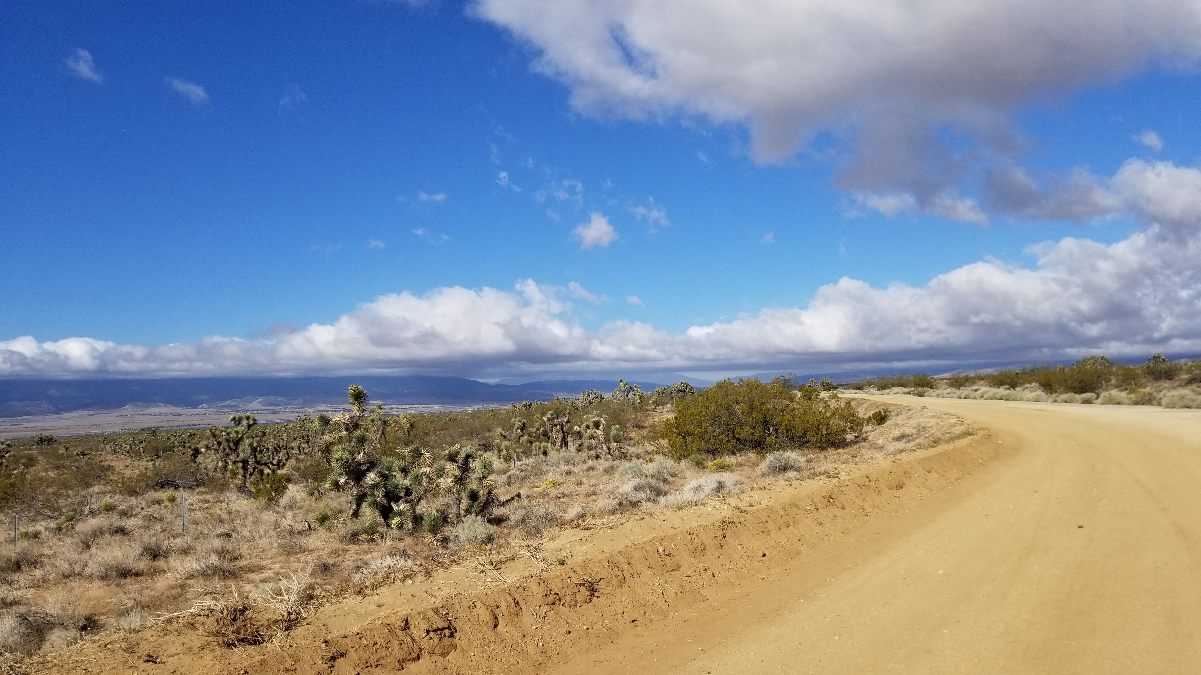
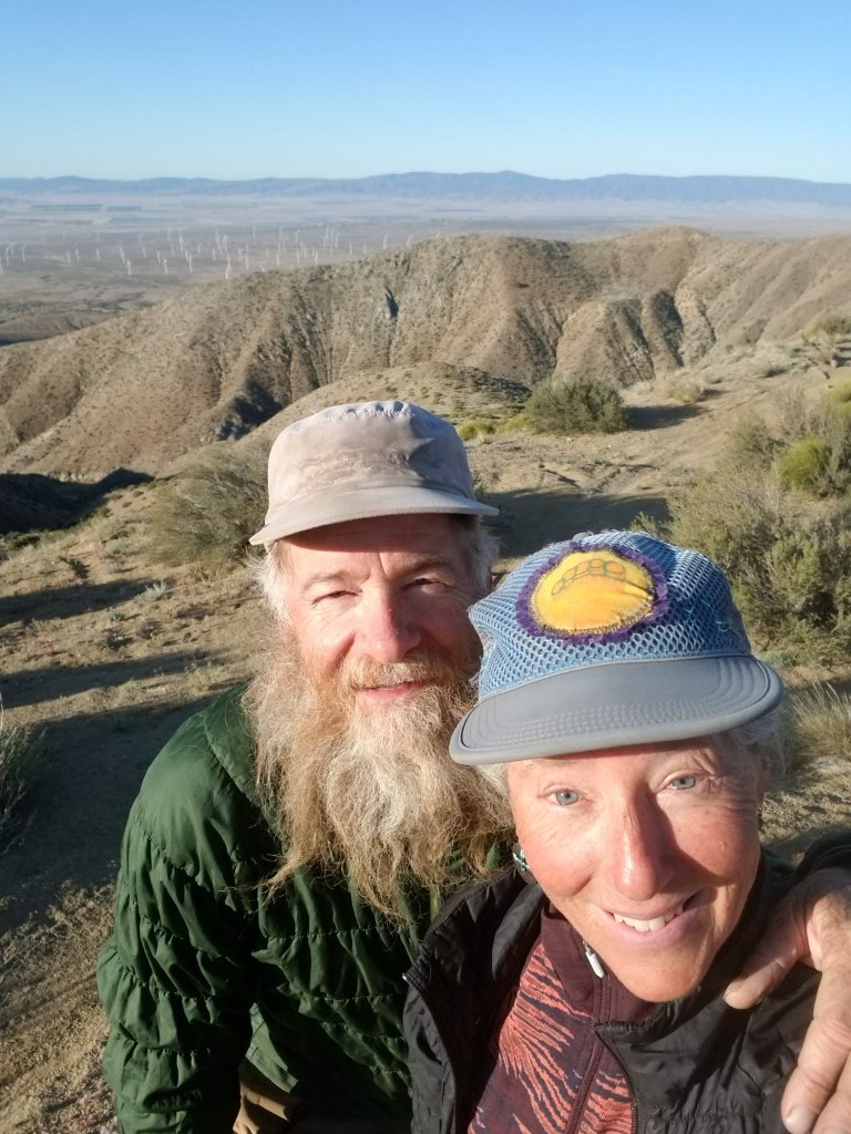
Major fields of wind turbines near Tehachapi. California poppies give that orange tinge to the ground.Zip and Jobie, kinda squinty, always goofy looking but very happy!!!!!


Amazing pictures! Thank you for capturing the beauty and sharing it.
LikeLike