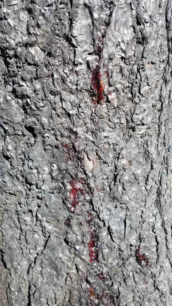
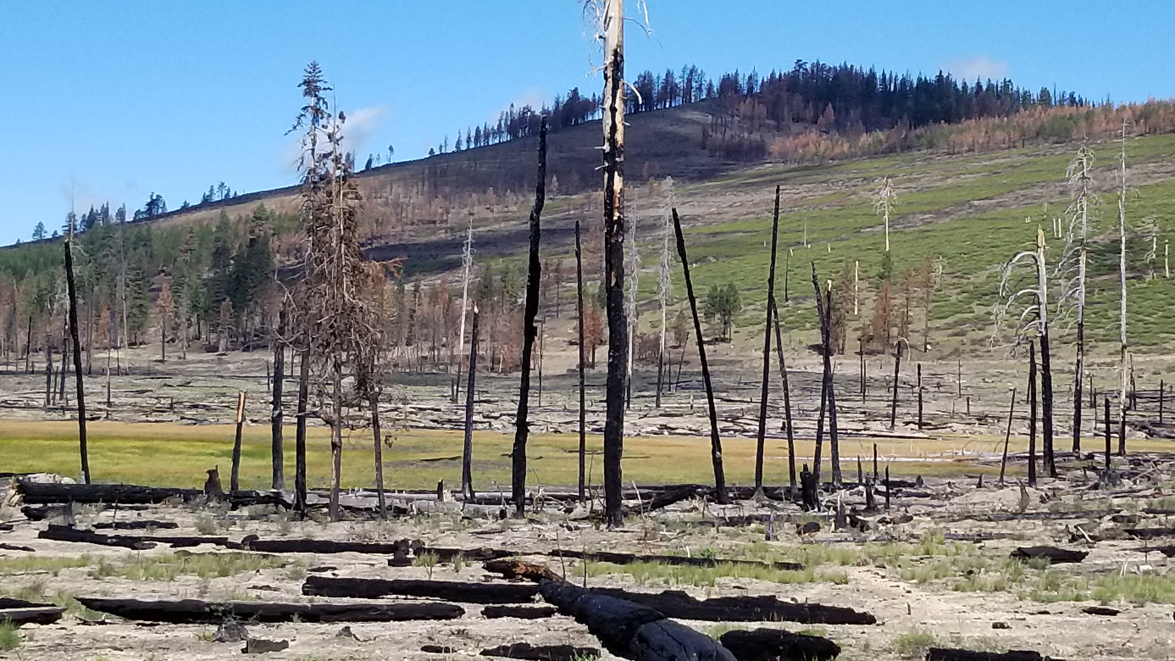
BELDEN (mile 1287) to DUNSMUIR (mile 1501.2). For seven miles out of Belden there was poison oak along the trail and since it was growing amongst oak tree seedlings and oak shrubs, it was tedious to avoid. After the climb out of town, the trail led us through fire burn zones after fire burn zones. A stretch of some 80 miles of burns with their variations of hot burns where everything is gone to untouched pockets of forests to areas partially burned. Some hikers chose to skip this part of the trail while others who were kicked off last year due to the Dixie fire have come back to specifically walk this section.
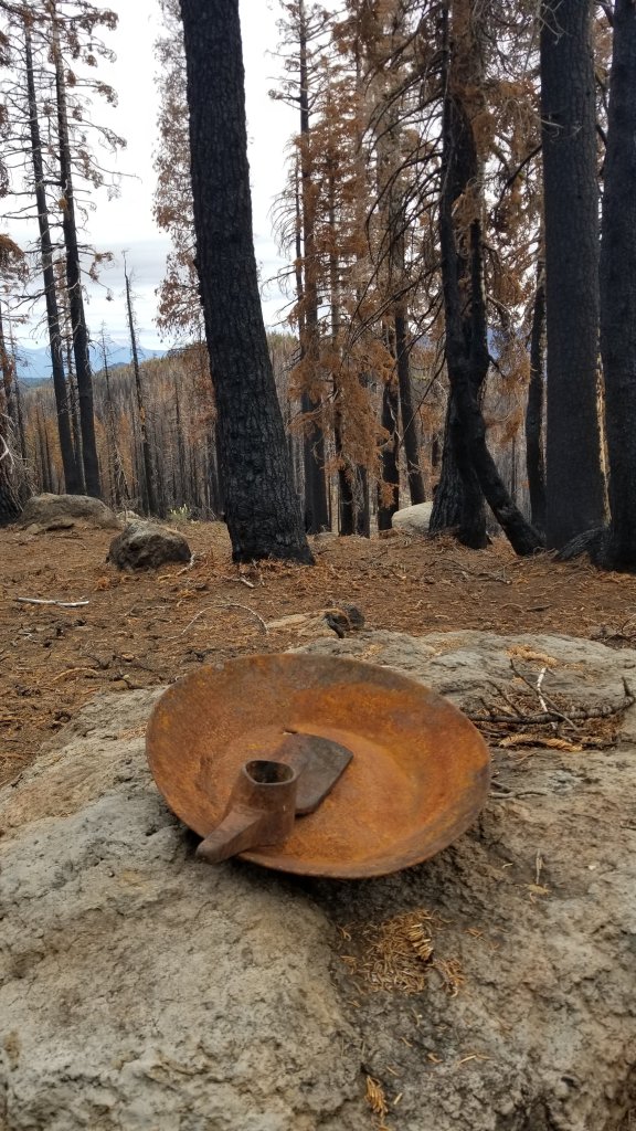
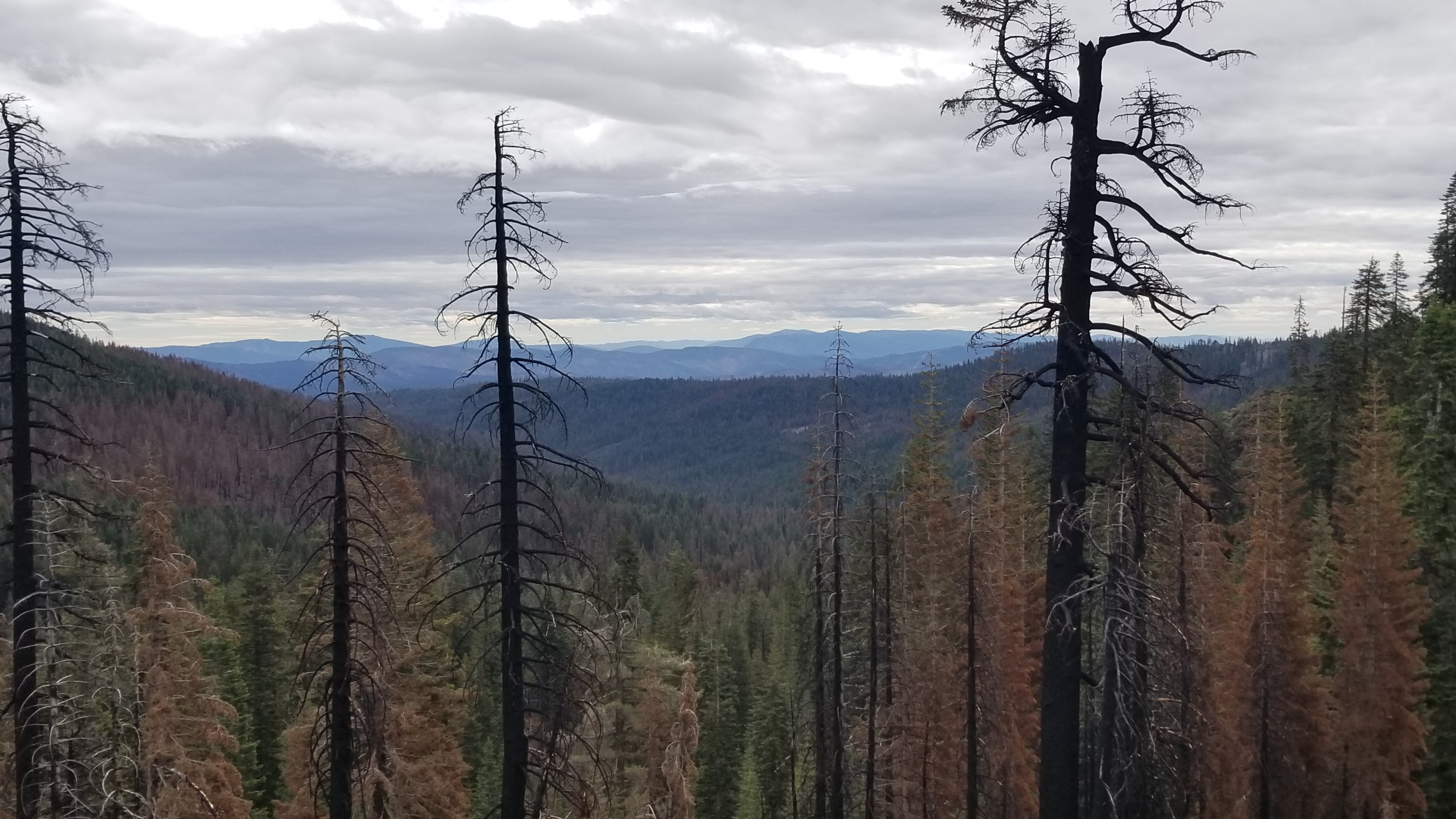
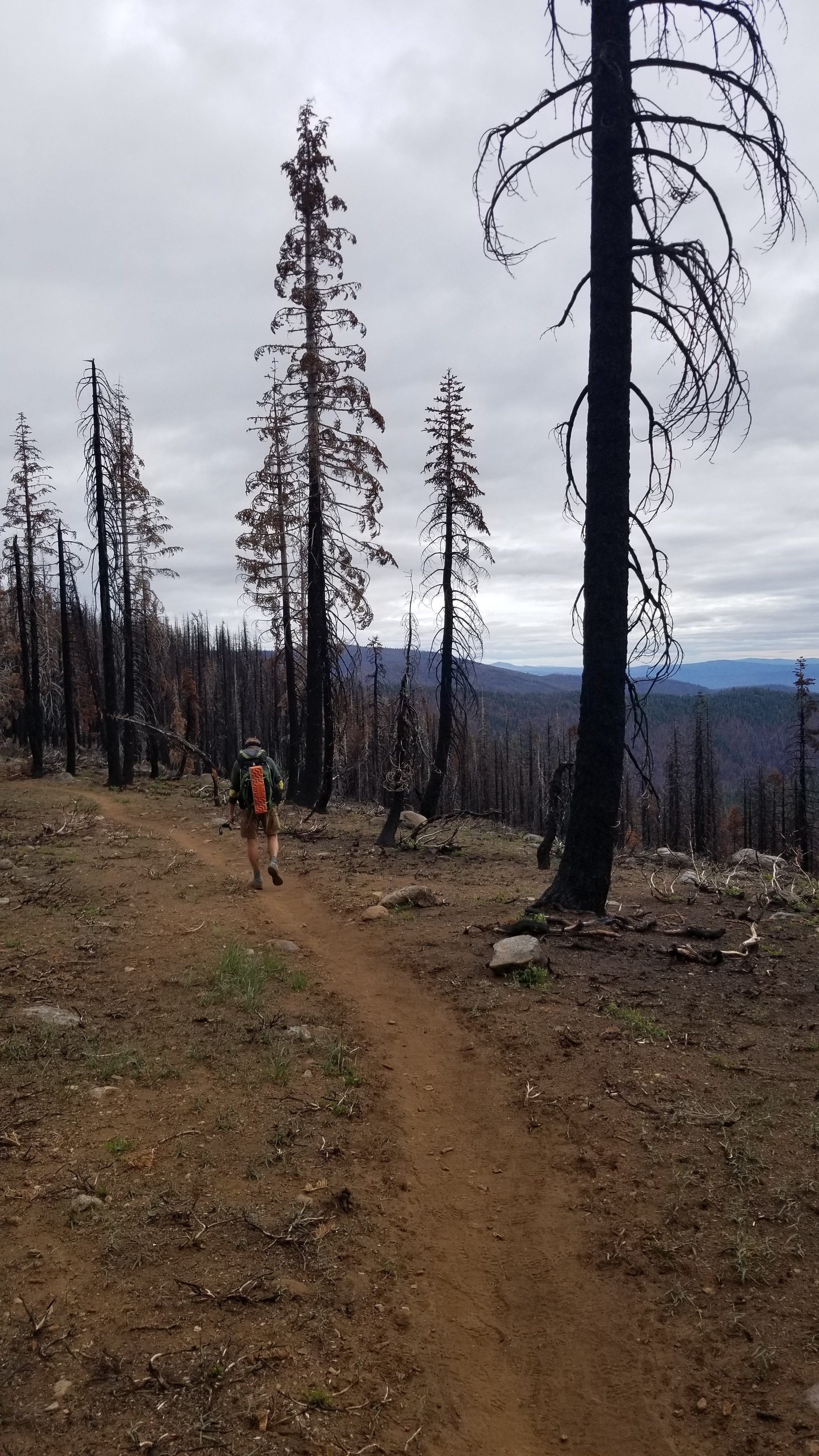
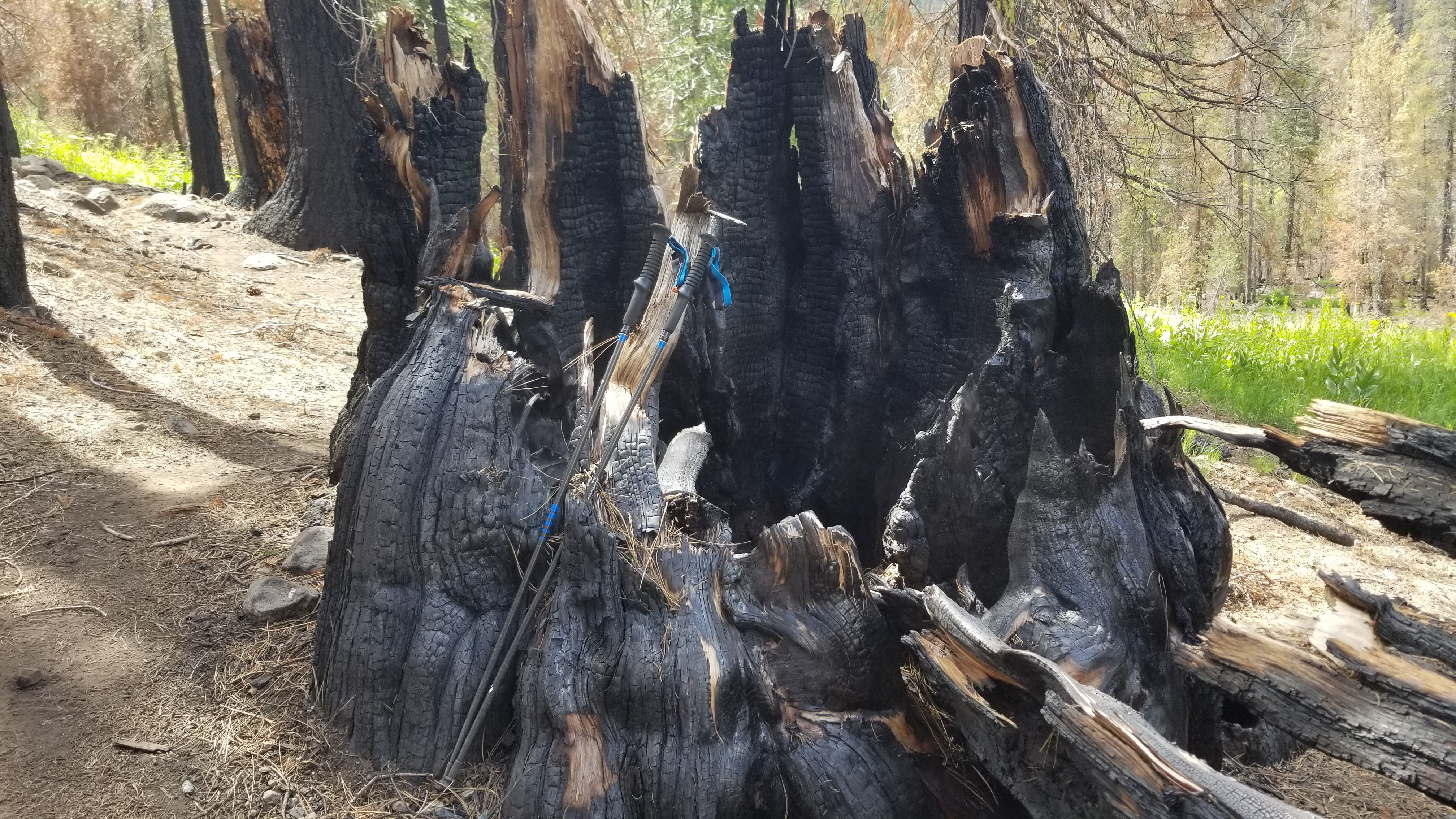
In the burns powder fine cinder and dust pouff into the air with each step. We are completely and finely covered in a layer of gray.
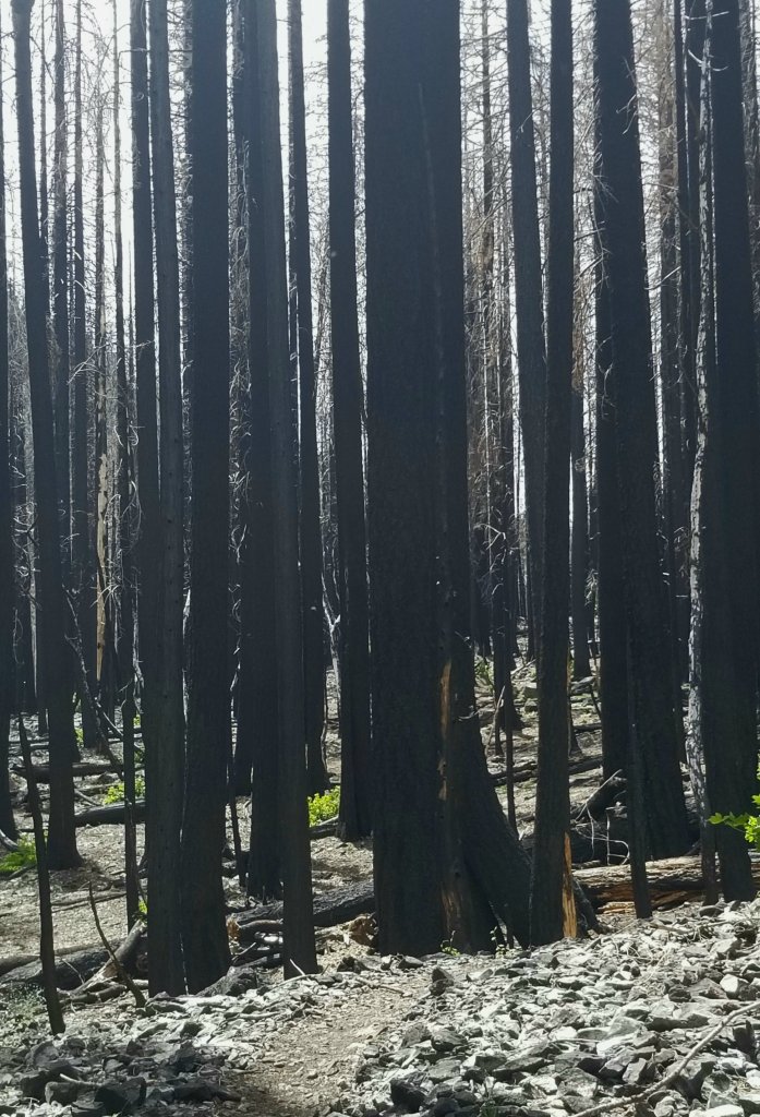
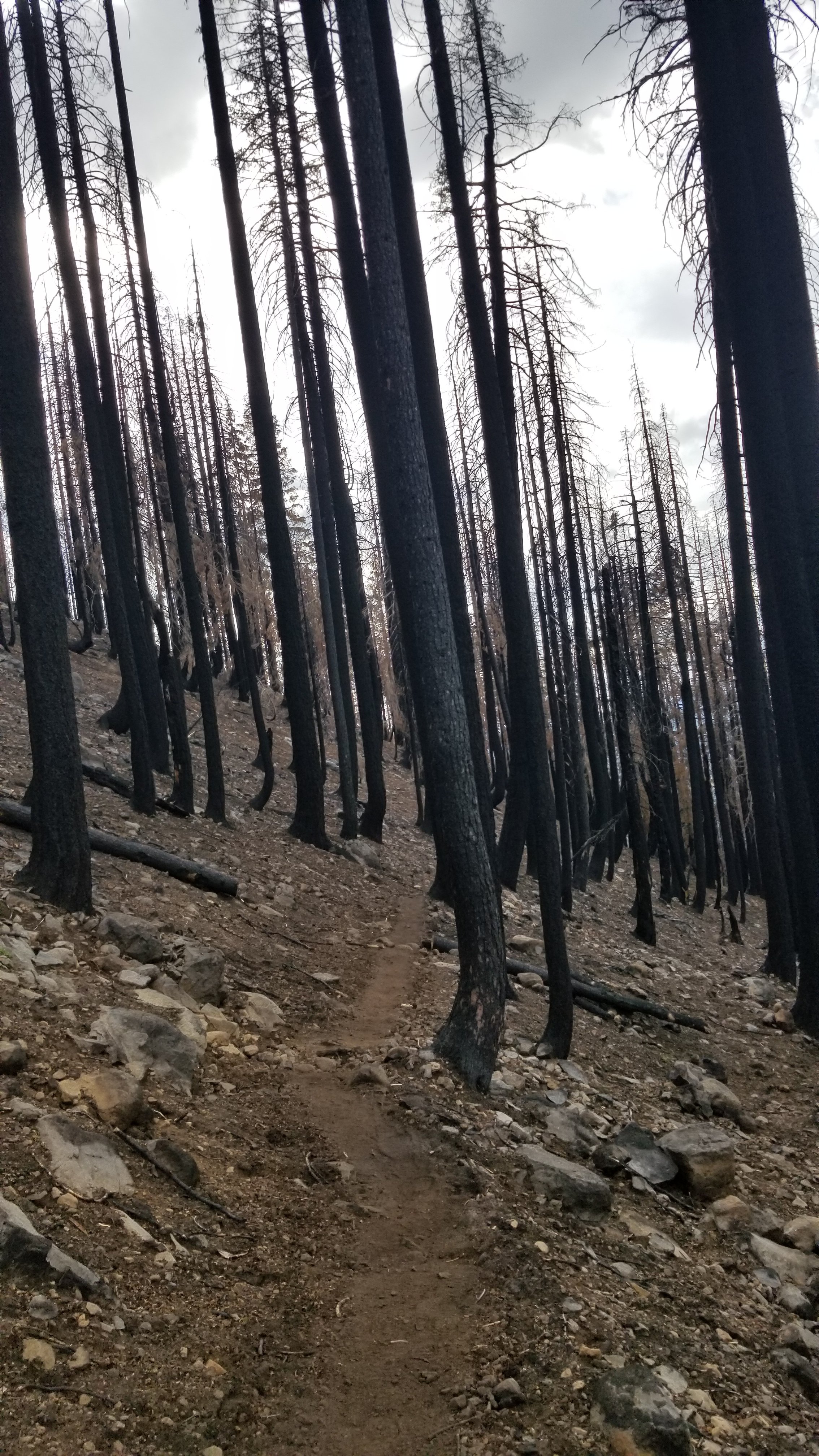
Although there are numerous well marked springs along this leg of the trail, water is not as abundant as in the Sierras. One night we arrived at Soldier creek at days end and welcomed the running water. In this narrow gully the burned forest trees stood like charred black statues. After 27 miles we needed to camp and found a small sand flat just the size of our tent amongst the debris. We evaluated the area for danger trees and falling limbs and figured that we would be safe. So we settled in for the night. BUT throughout the darkness the sound of snapping and landing branches could be heard. I did not sleep! What were we thinking? Images continuously came to mind (more vivid with each crash of branch) that this is how we go out! Several times in the middle of the black night, flashlights are waved about as hikers make their way by us determined not to sleep until they pass the heart of the burn. Earlier than usual in the dim morning light under an overcast drizzling sky we woke soooo relieved to be getting outta there. I just survived a horror movie! Another lesson learned...
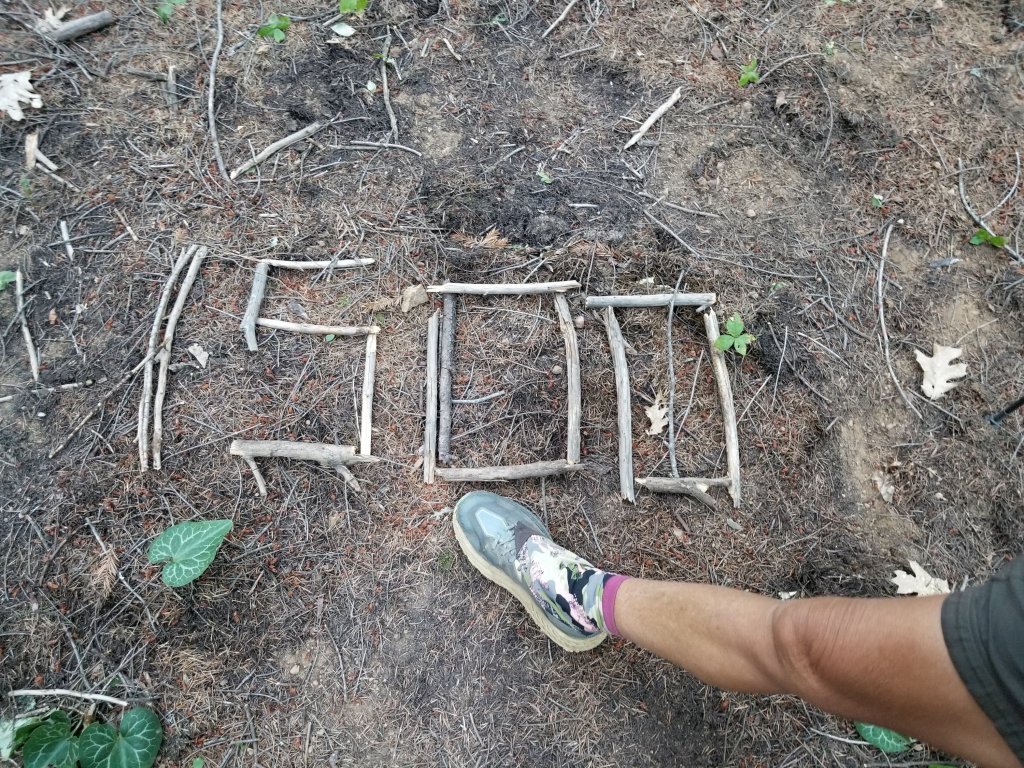
The midway point! Only 1325 miles to go to Canada! This project is gradually beginning to feel like an accomplishment. Life on the trail grows on you and then you realize, uh…we are doing it. And one day it will be done. It isn’t a never ending song!
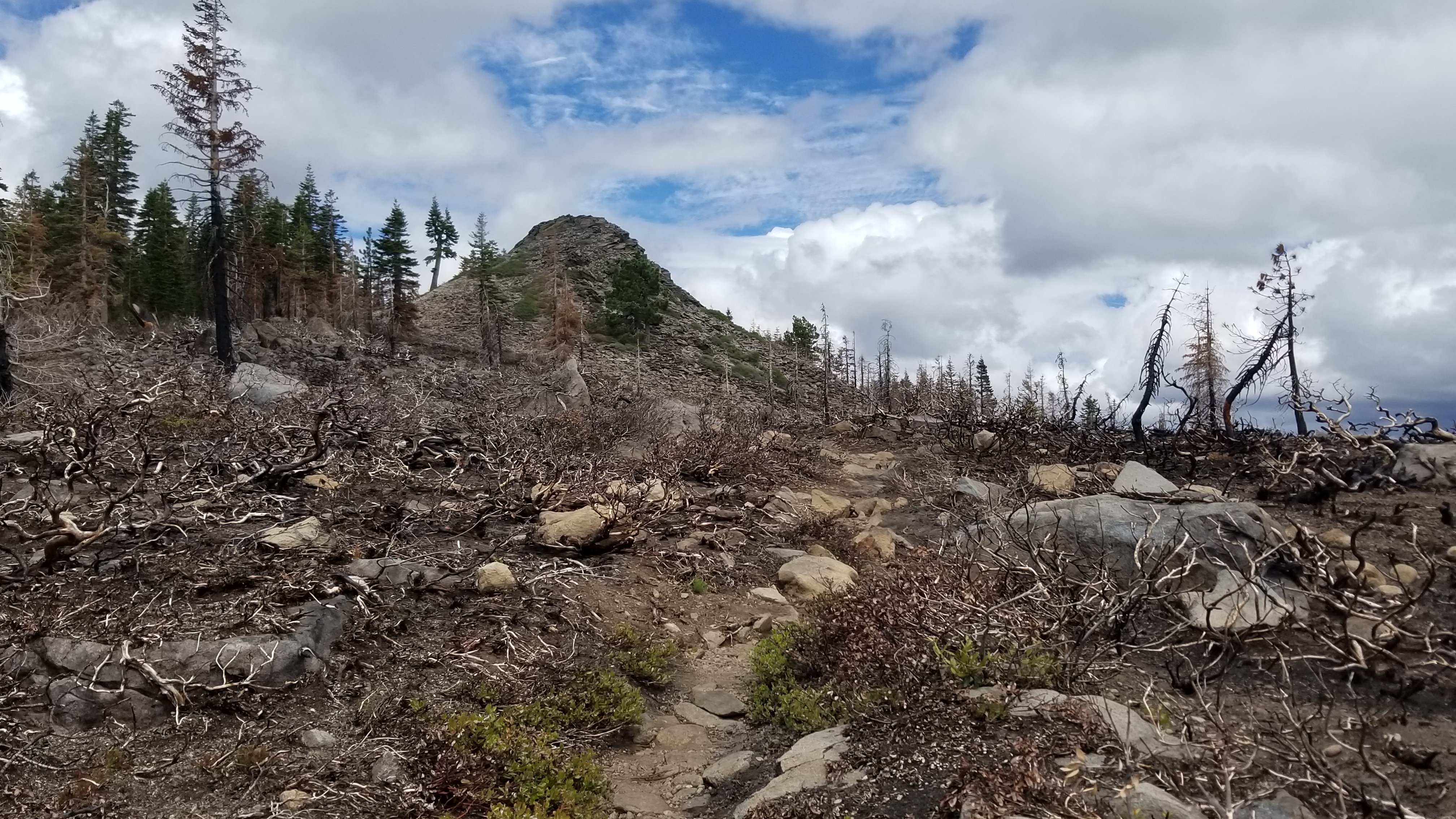
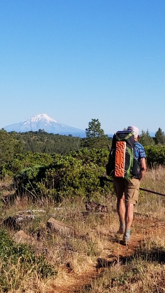
The trail leaves the Sierra Nevada mountain range and enters the metamorphic volcanic range of the Cascade mountains. We pass through Lassen National Park which has been hit by fire multiple times.
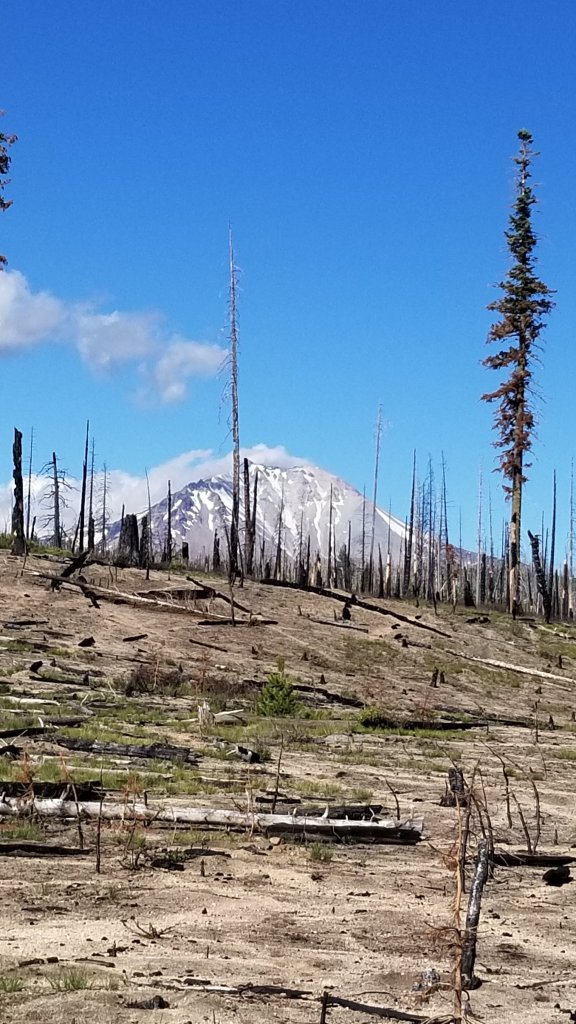
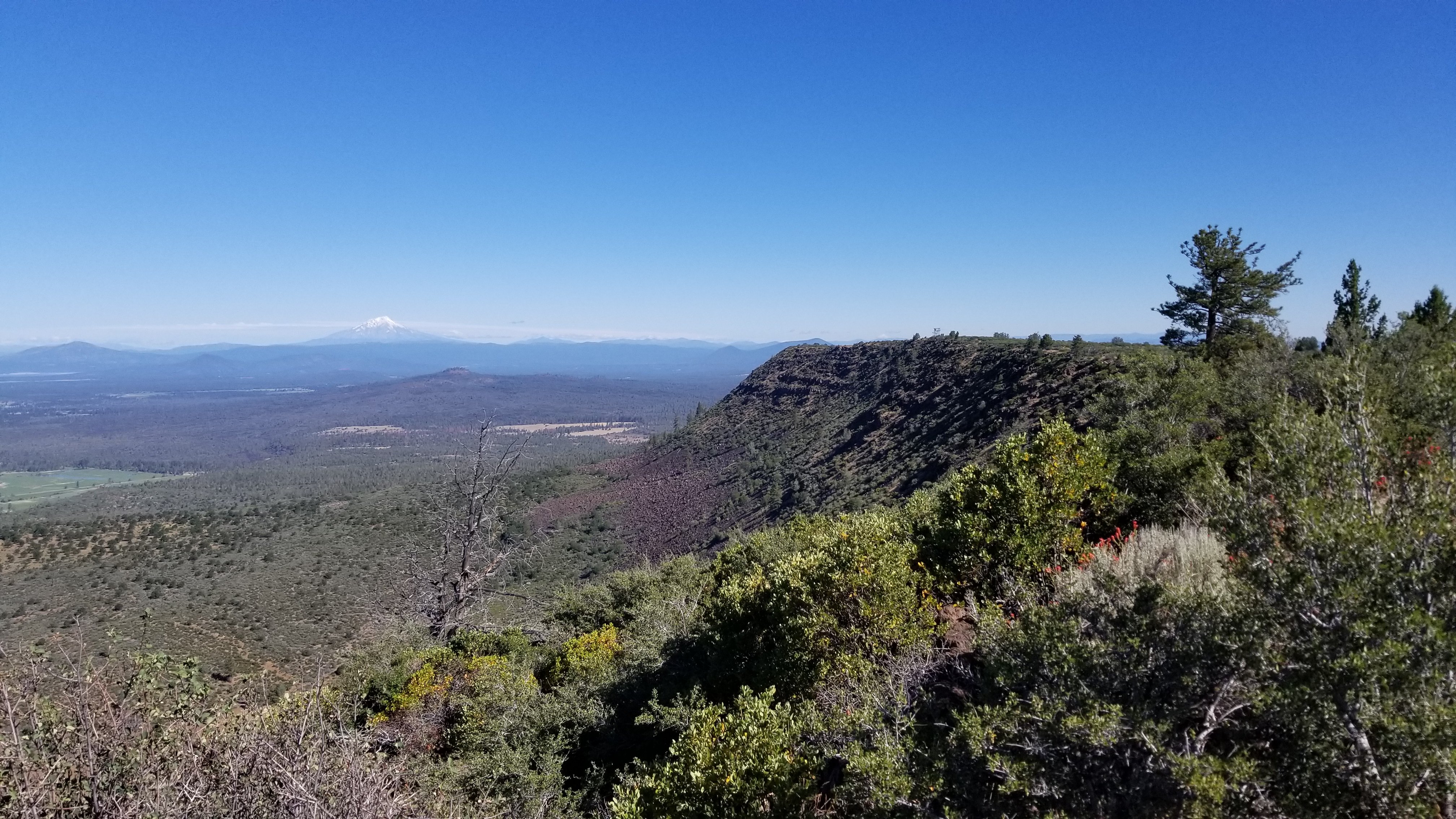
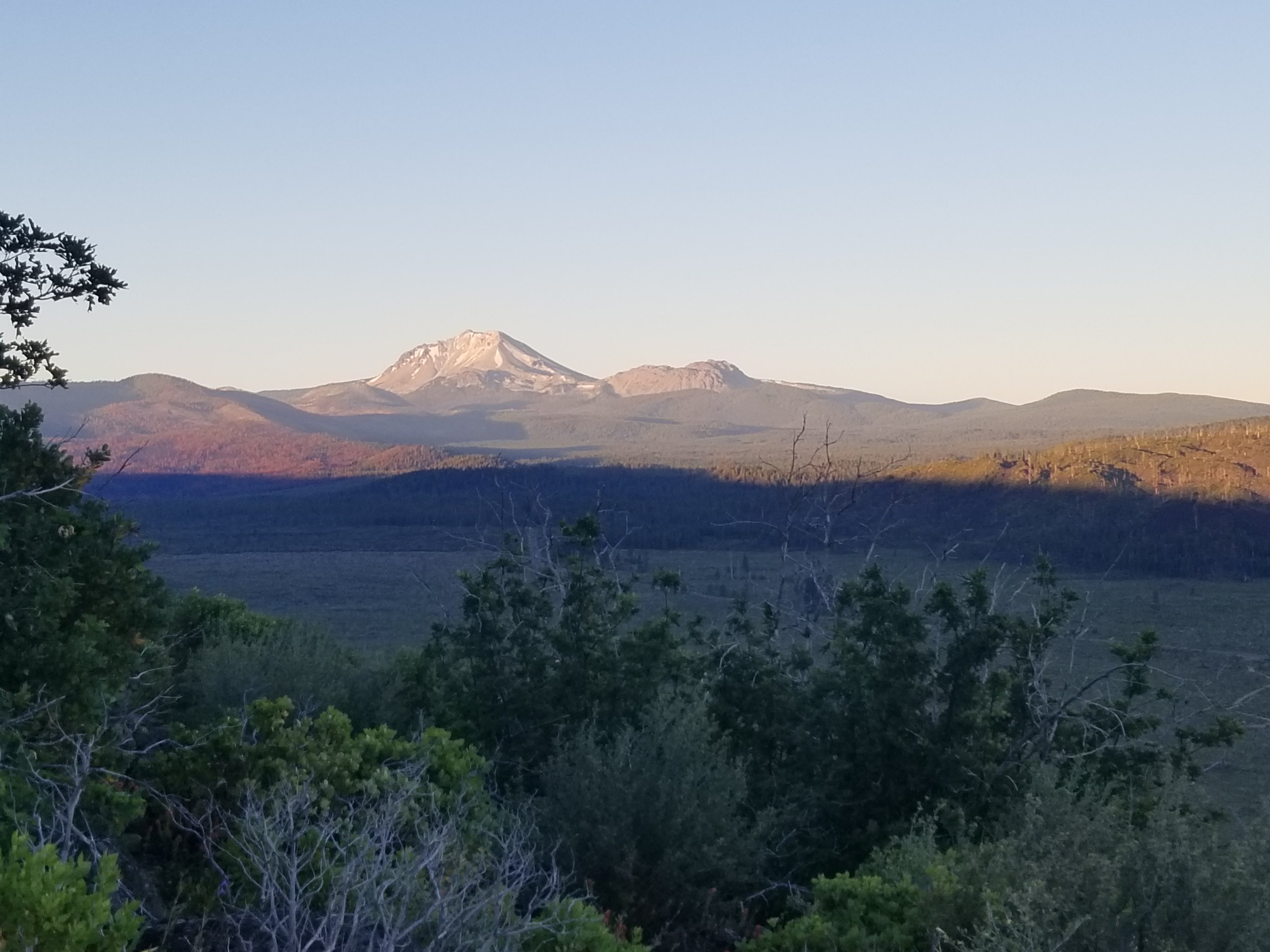
A stunningly scenic part of the trail is the Hat Creek Rim section. A photo can’t contain the drama. Hat Creek lies below a cliff that rims the valley (PCT follows the edge of this rim). Mount Lassen Volcano busts upward at the southern end of the lowlands while Mount Shasta with its cone shape and forever snowy top at the northern end. All day you feel large as you hike along this grand view.
⁶
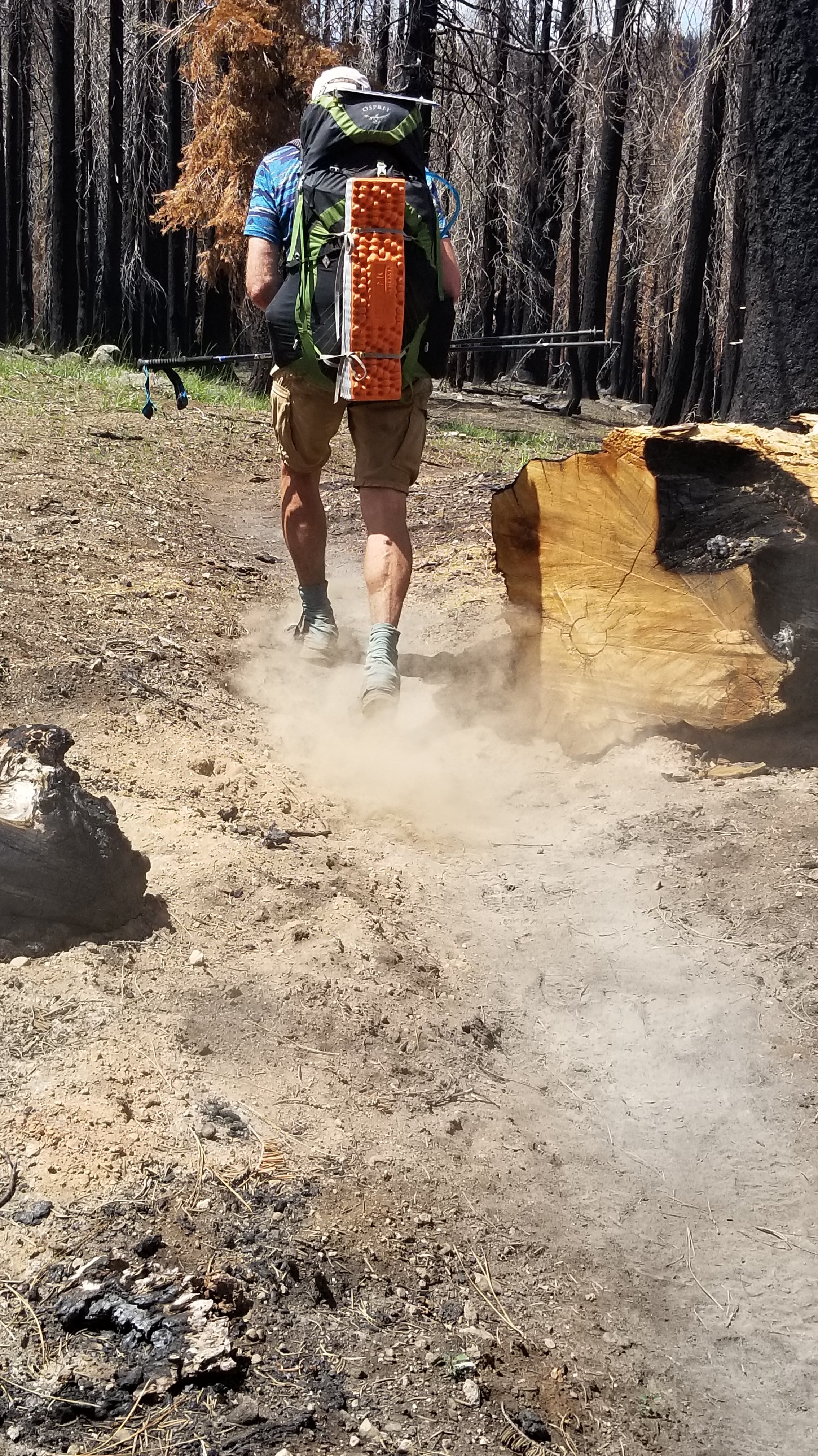
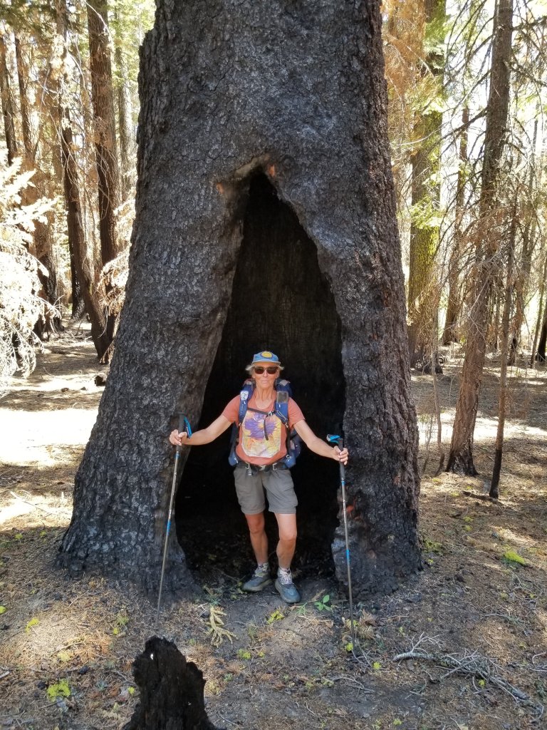
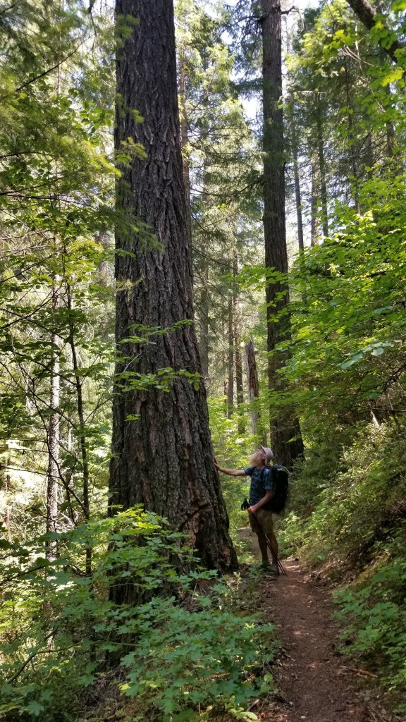
After resupplying at Burney Falls Sate Park we are out of the burns and walking in living trees again and some HUGE ones!
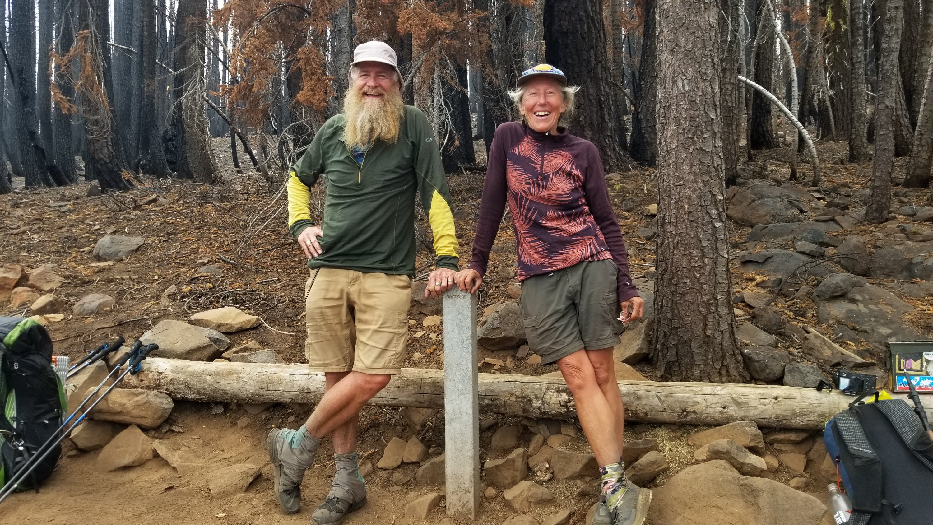
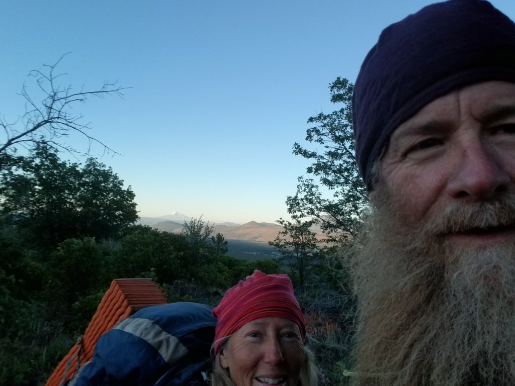
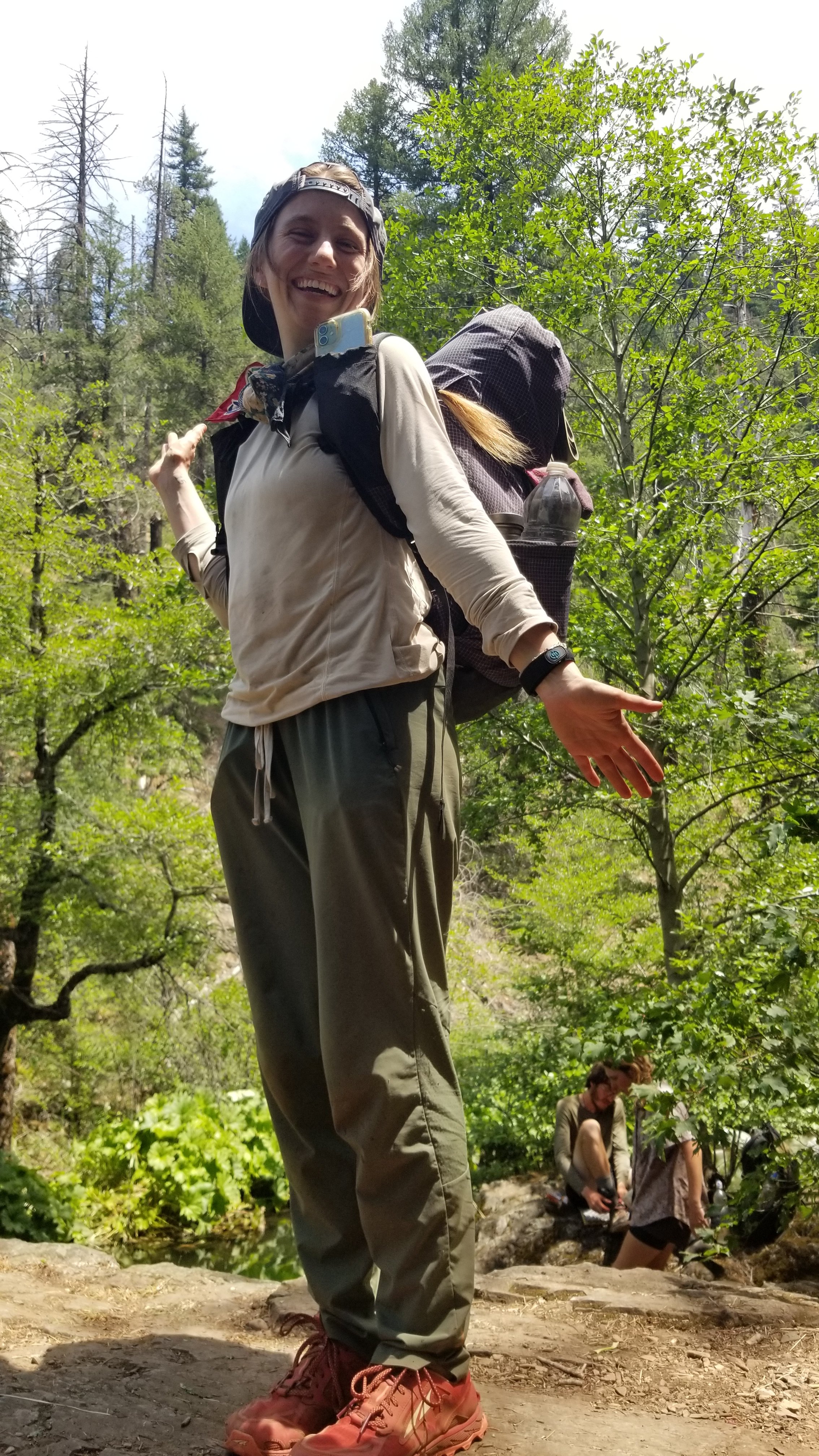
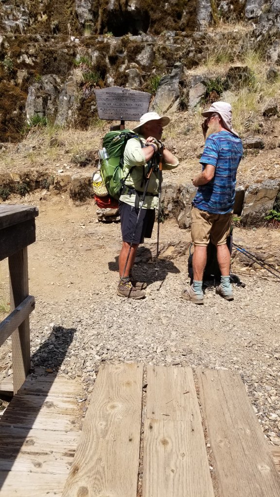
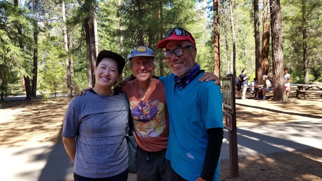
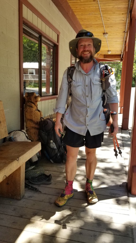
Below are some of our fellow hikers.
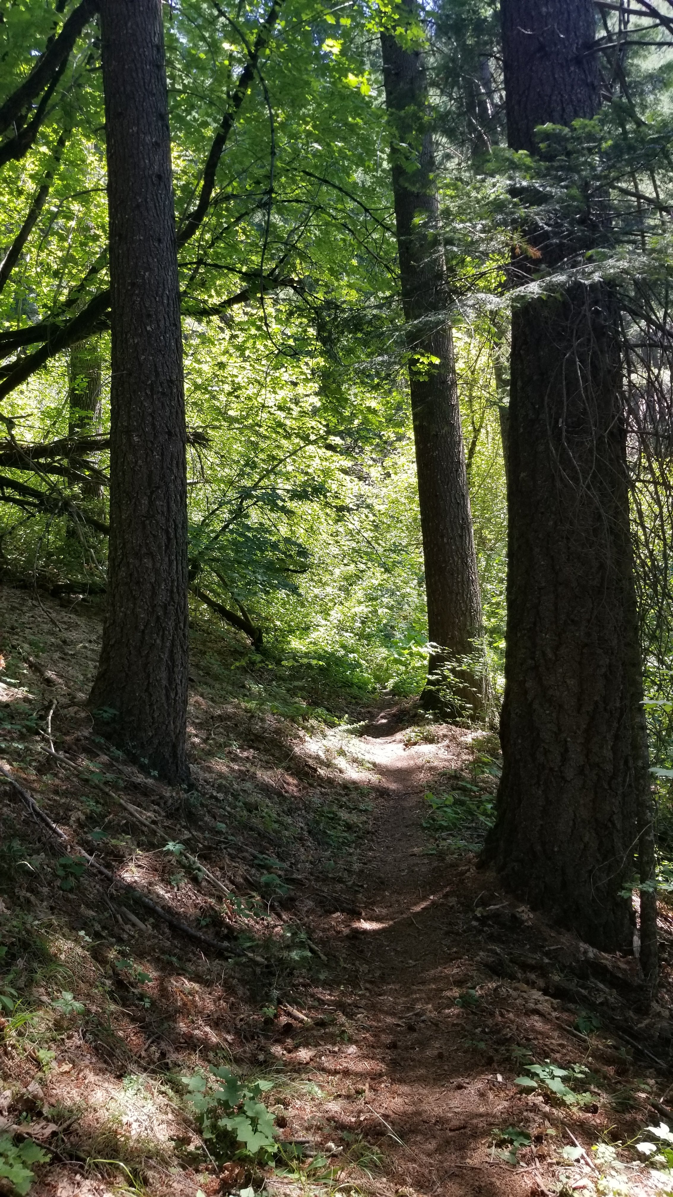
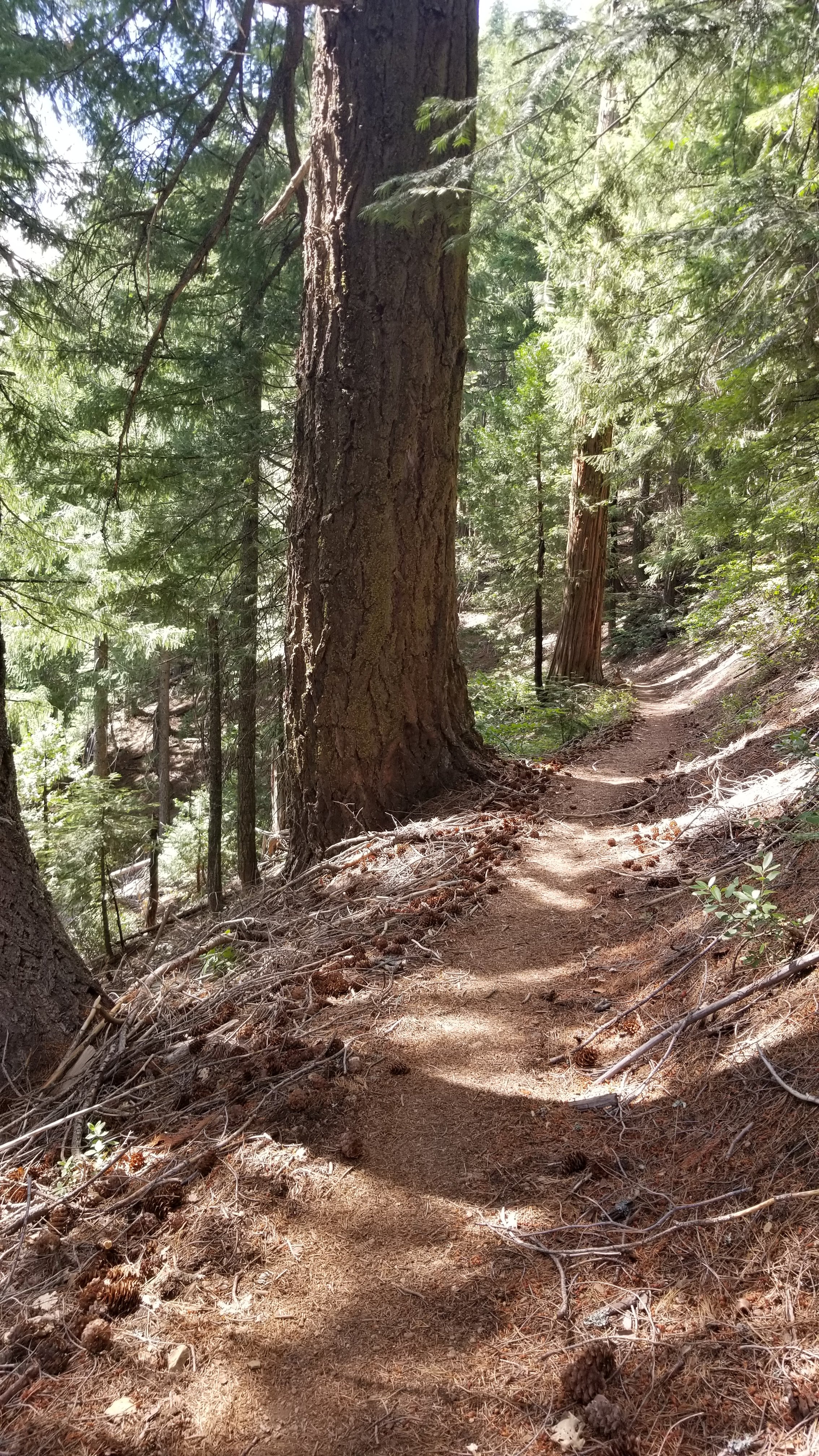
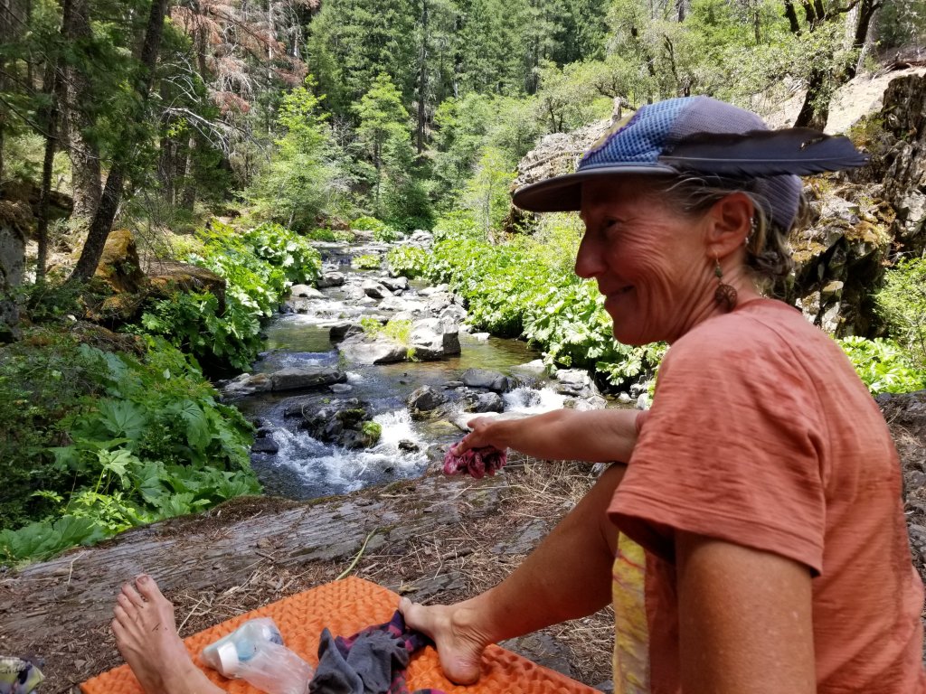
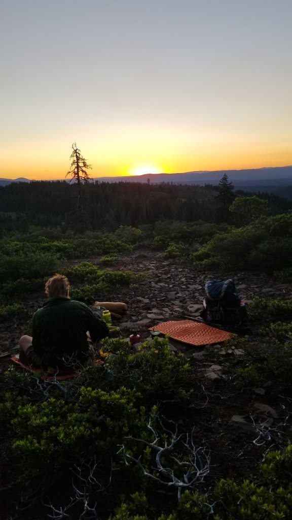
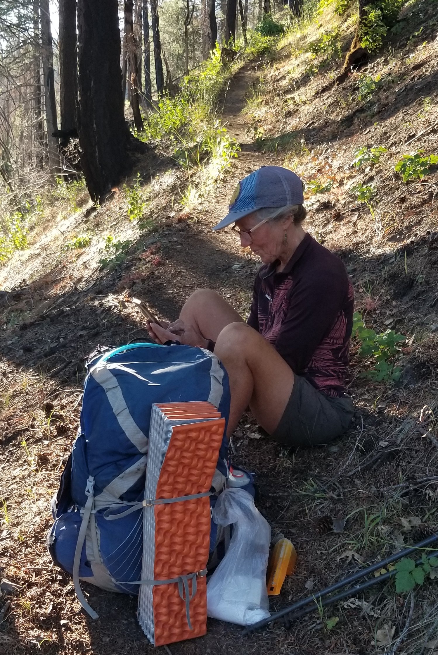
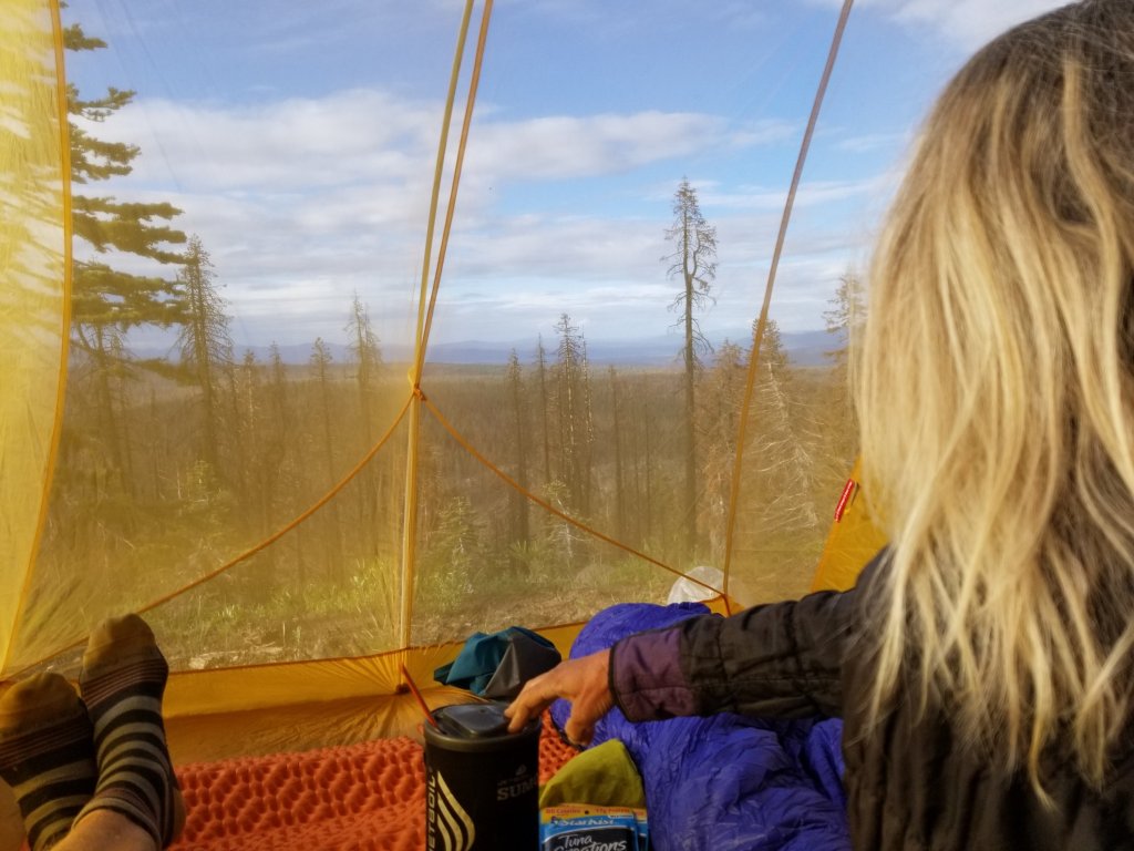
Some of our day to day photos:
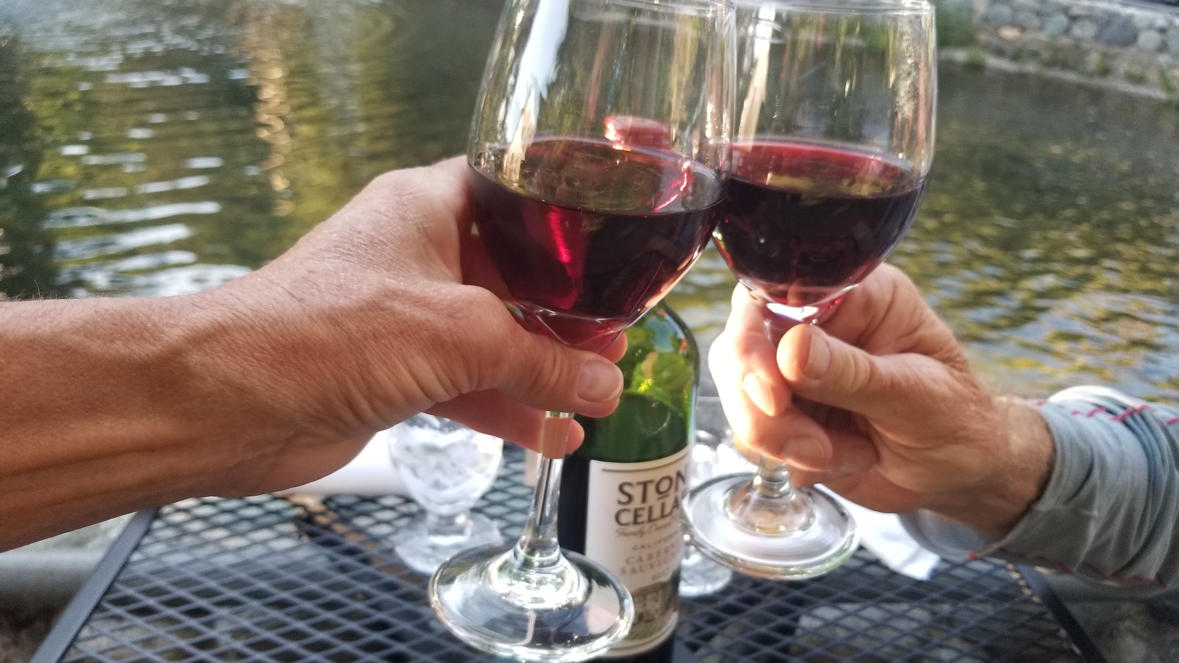
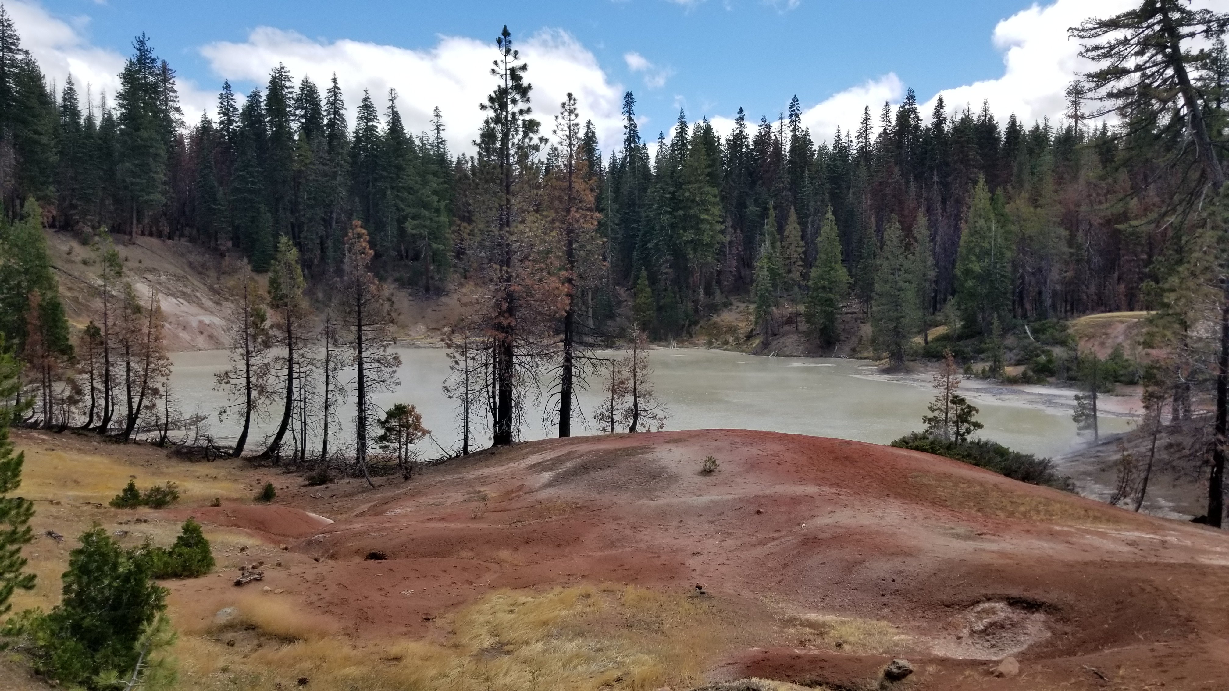
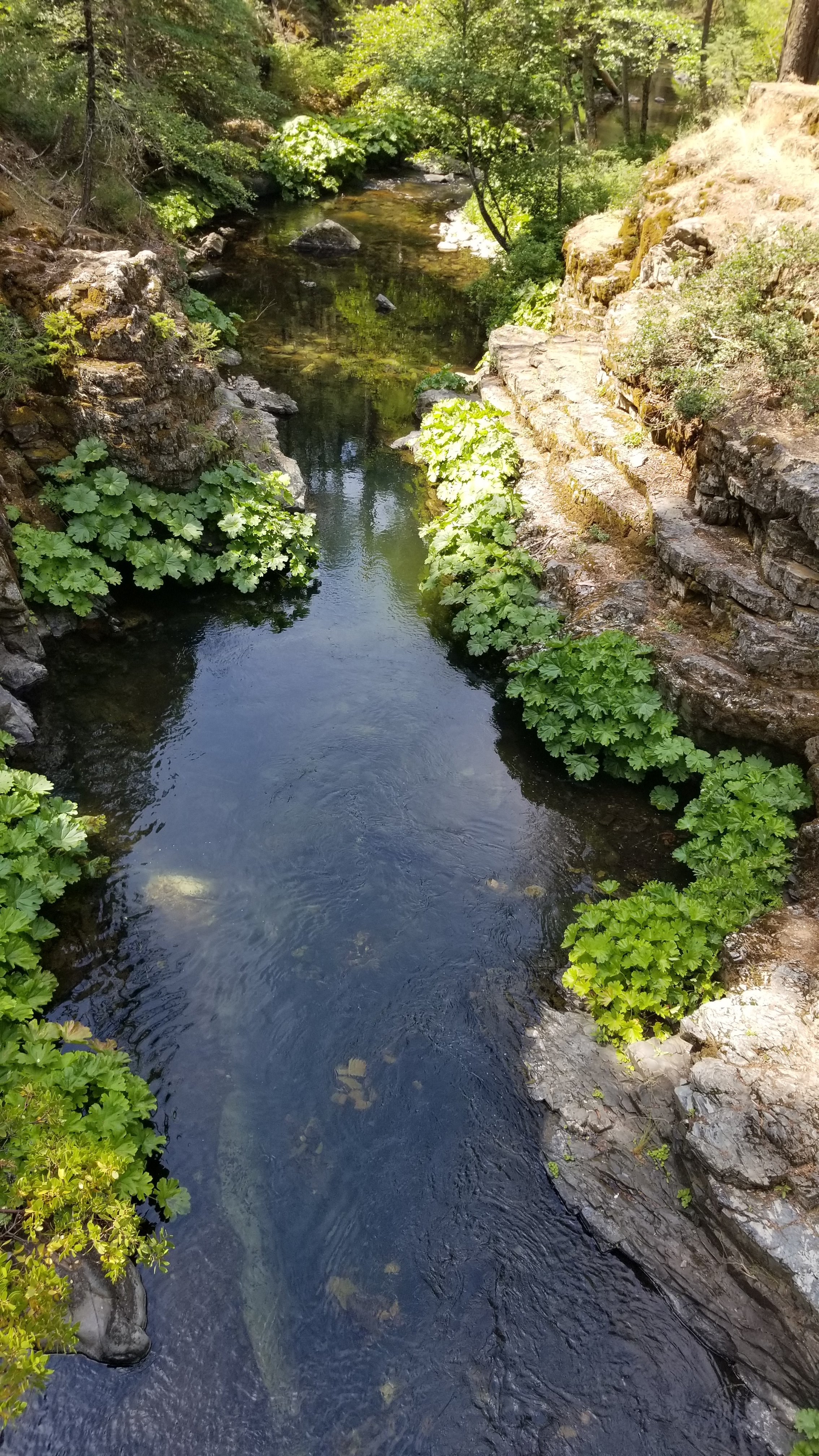
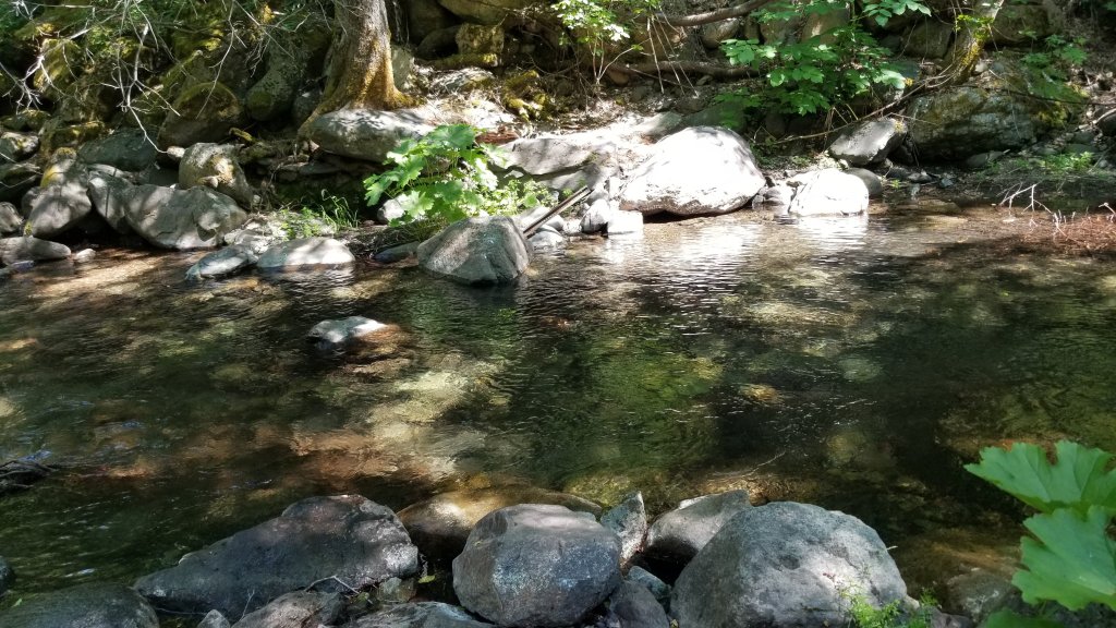
Some of our refreshing, mouth watering swim holes:
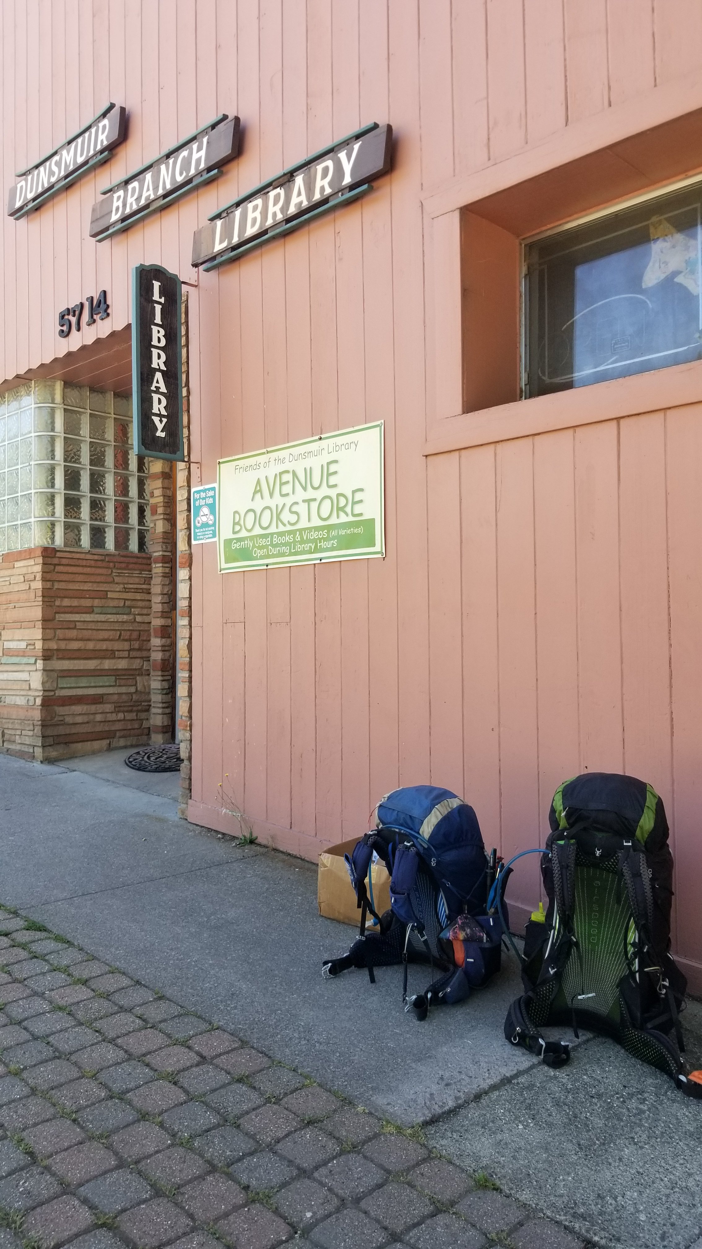
We resupply in the small town of Dunsmuir which is @ the 1500 mile mark. Then off to Etna a hundred miles away.