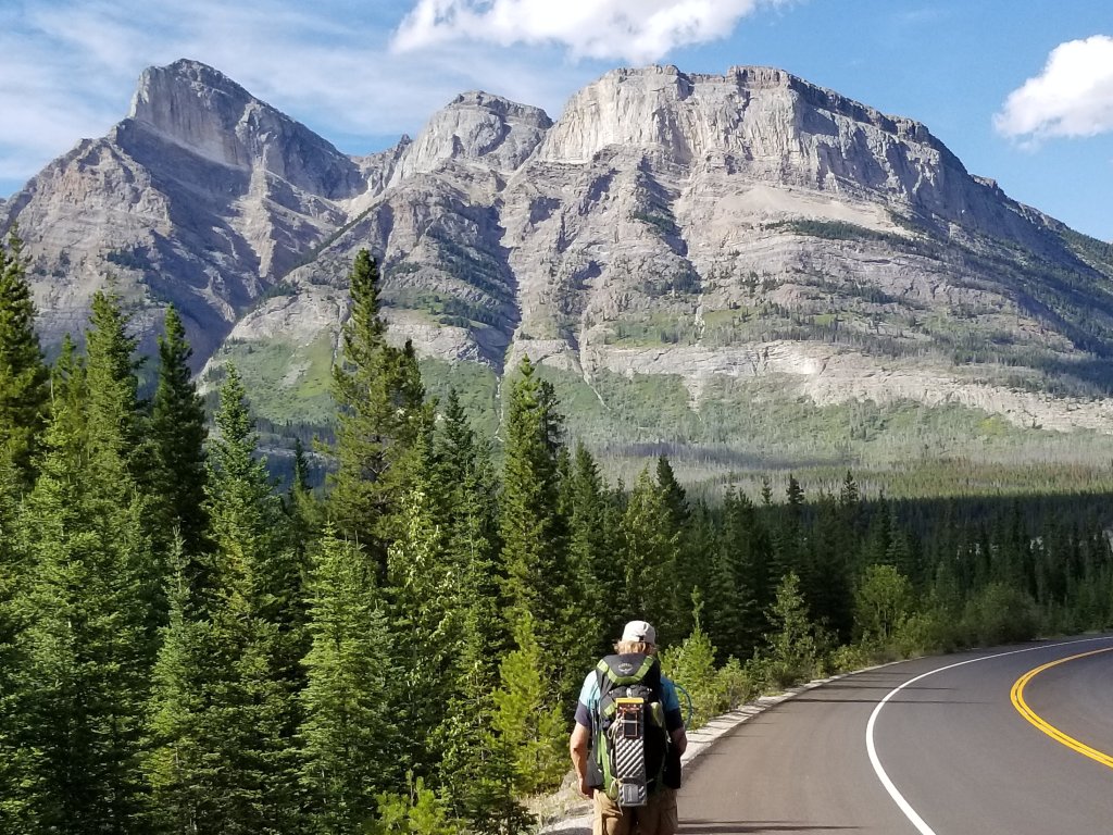
We came and went through Saskatchewan Crossing without being able to communicate as this is an outpost service station (hotel, restaurant, and small store) that generates its electricity and doesn’t have cell or wifi connections. We had an easy going rest day there gazing at the mountains from our room’s porch and enjoying the balmy breeze of summer with our feet up.
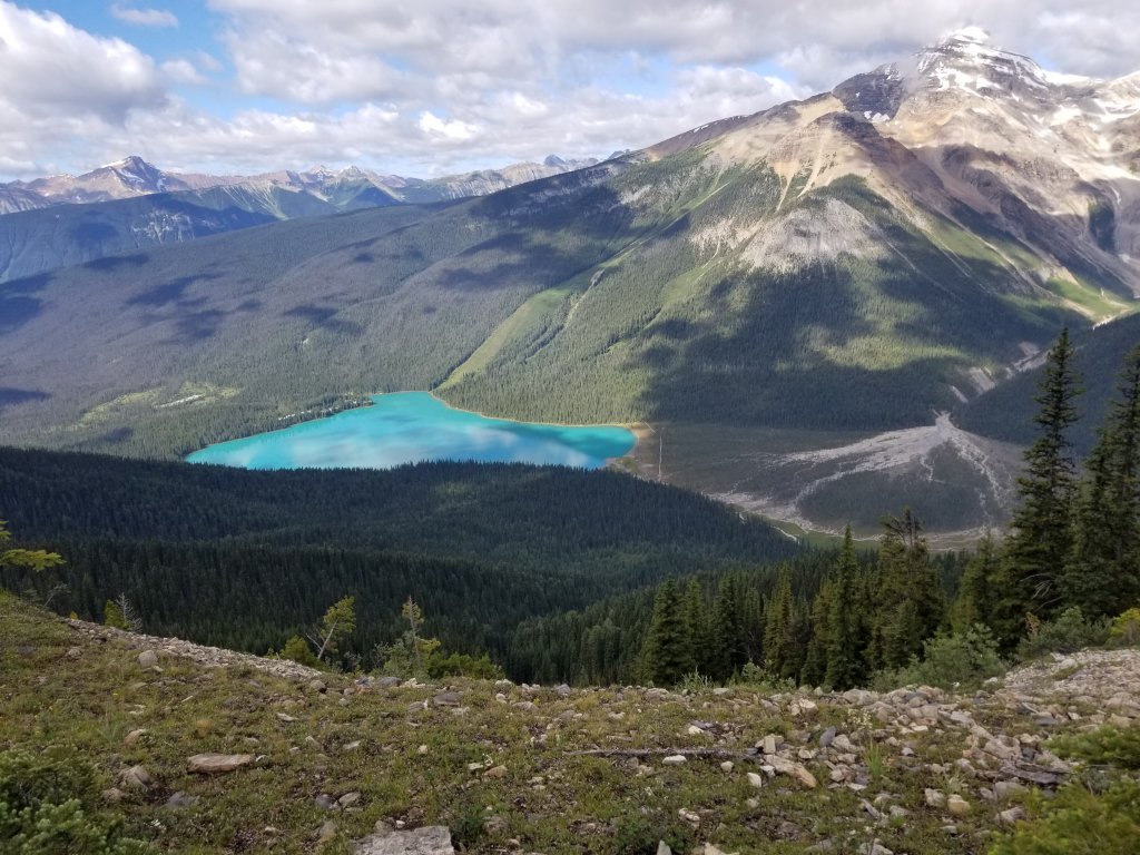
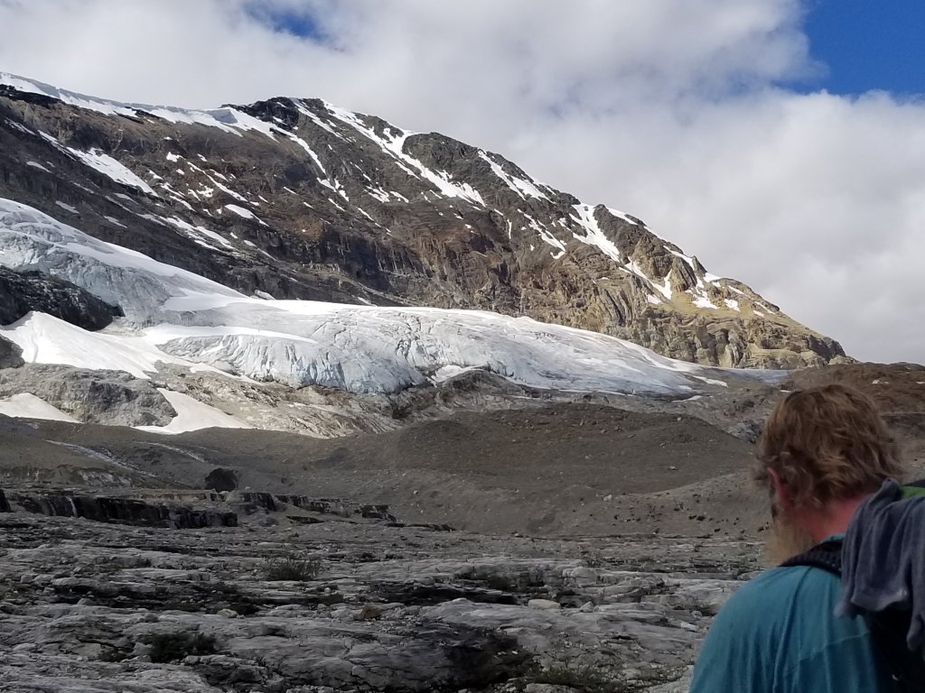
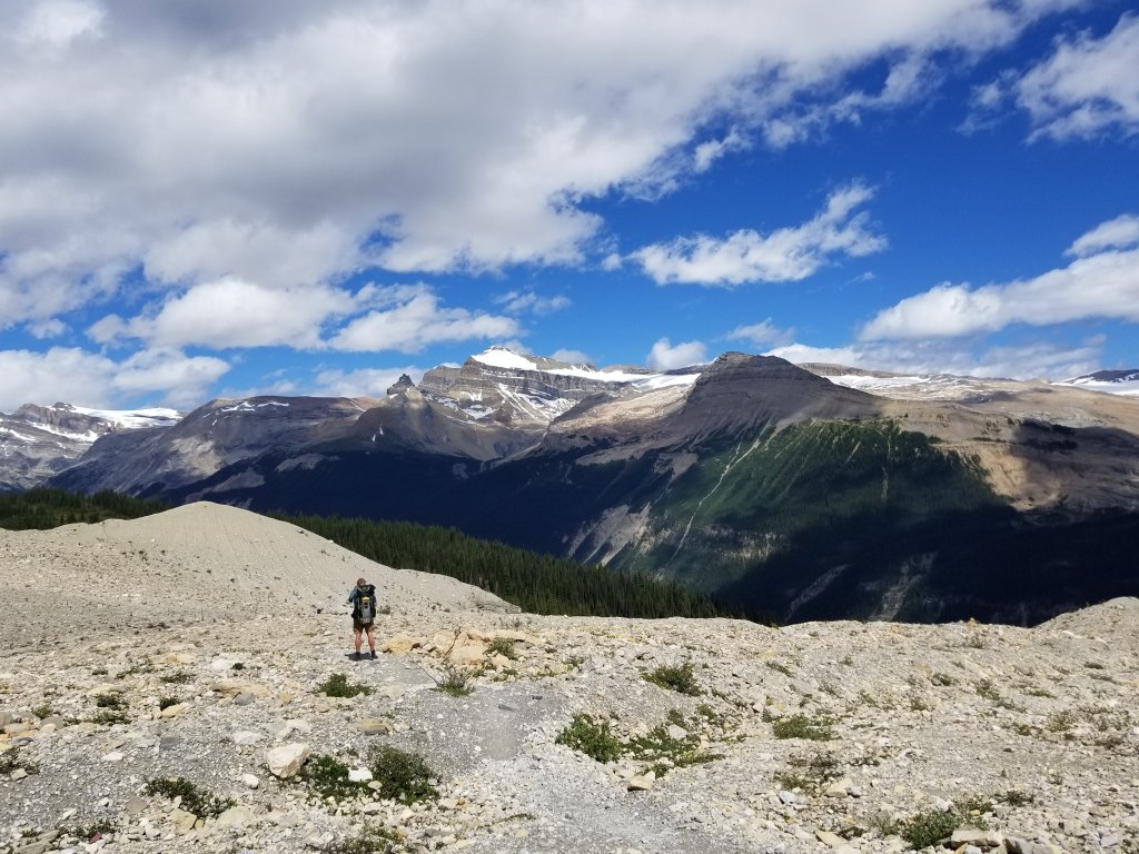
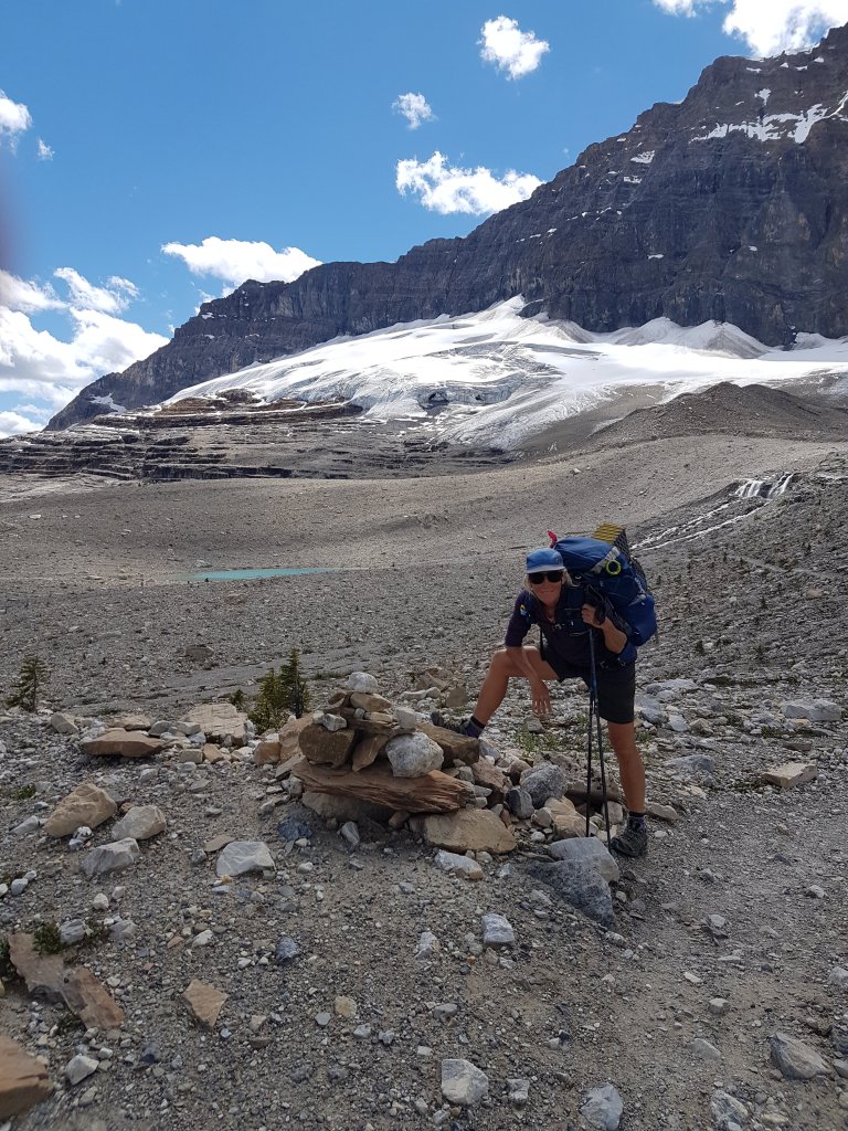
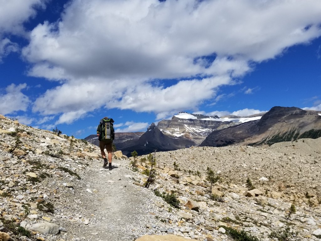
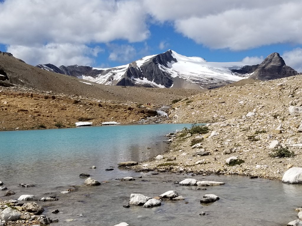
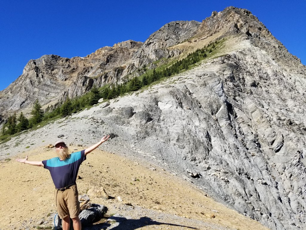
To get to SC, we left Field BC early in the morning and climbed up past the Burgess Shale area where ancient seabed fossils are found, past Emerald Lake then onto the Iceline Trail. What a highlighted day!! The contrasts, colours, and textures are astounding. We named this the “Top of the World Trail” as you feel on top of it all!
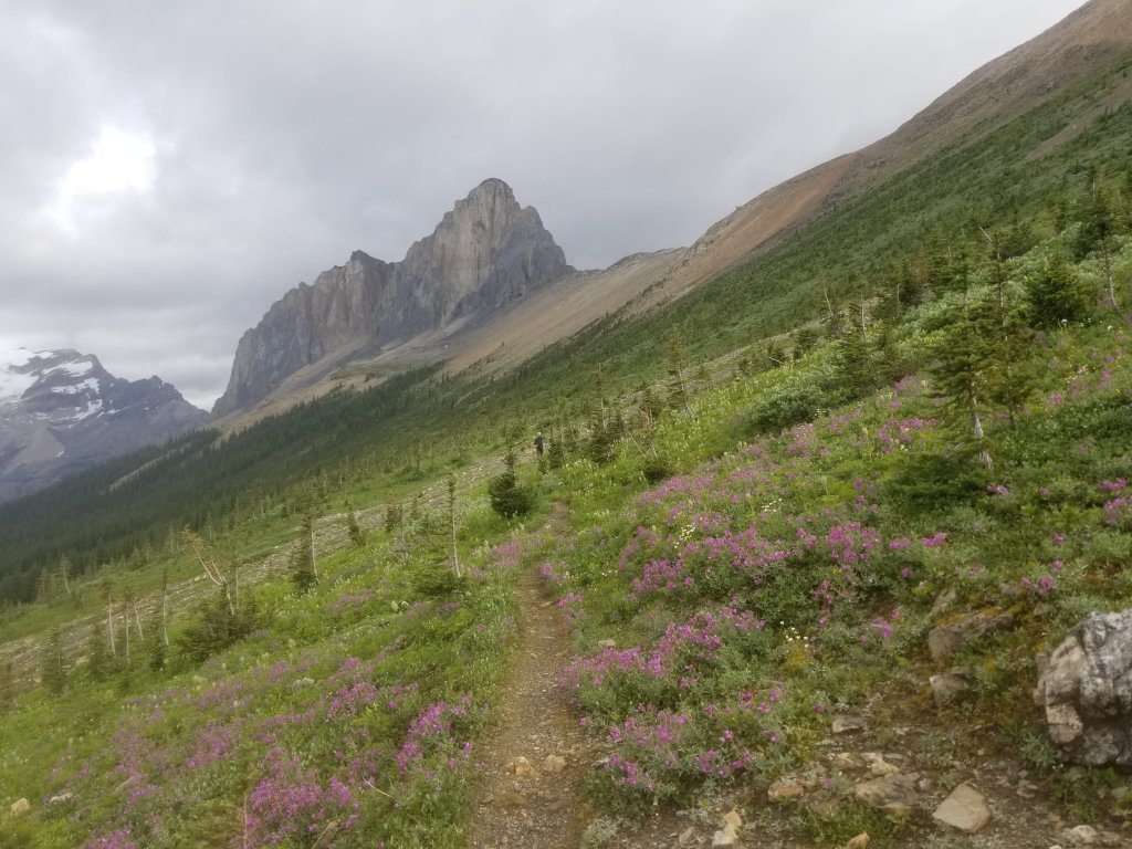
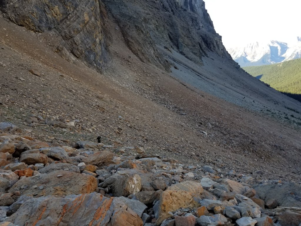
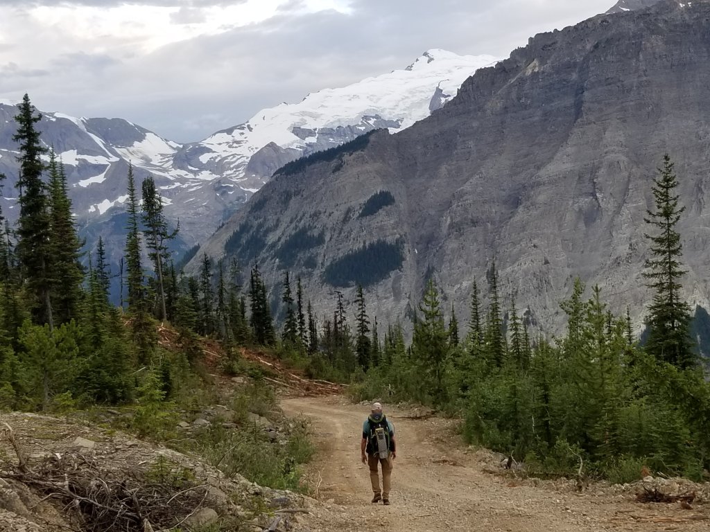
The next section was difficult due to a new but yet rarely used trail which involved following some orange flaglines, some bushwhacking, and climbing up and down very steep, rocky slopes. I found the moss under foot to be comforting but the jabbing branches and blowdowns to be in my way! Our shins and equipment took a beating! We did find our way to the Amiskwi valley once over the pass, and were then surrounded by old burned areas and a road which lead us through some recent logging.
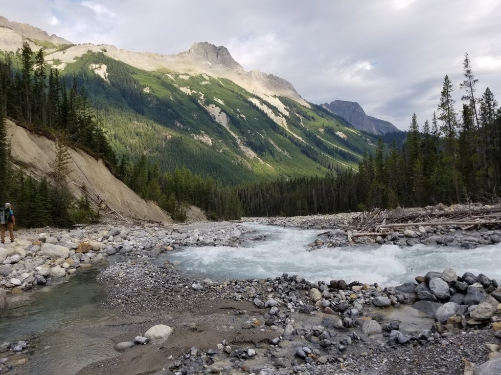
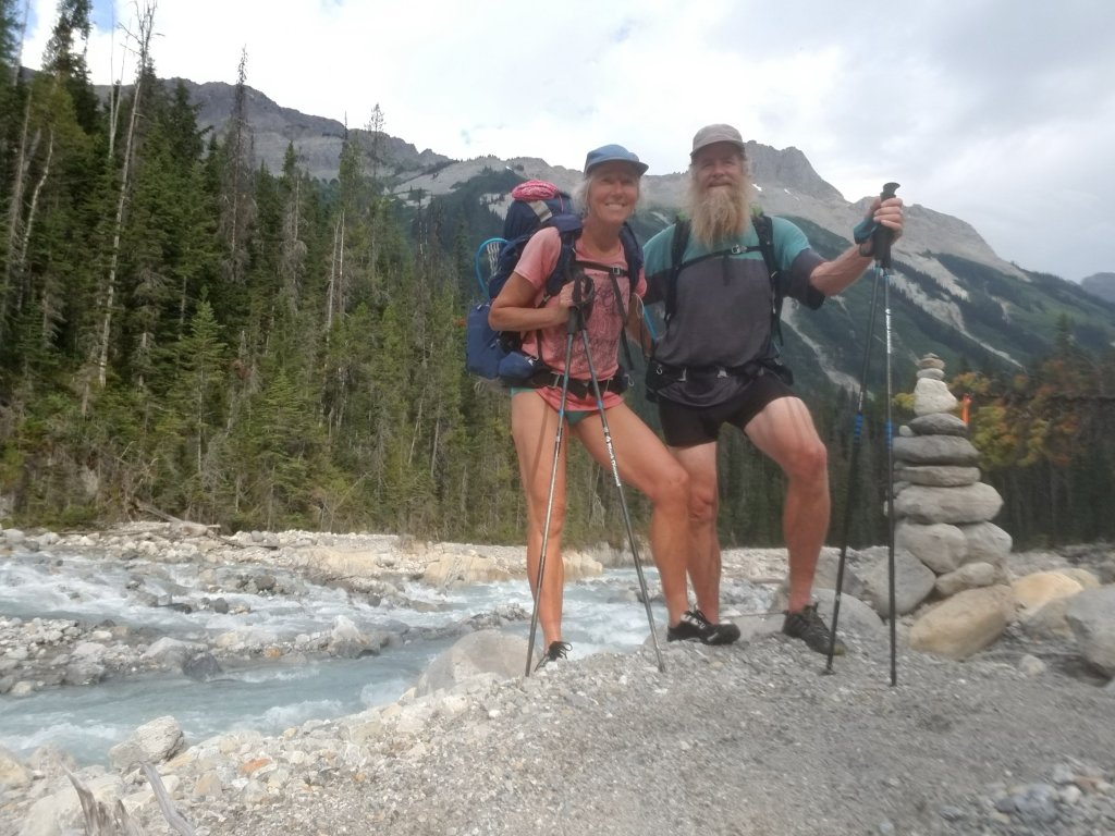
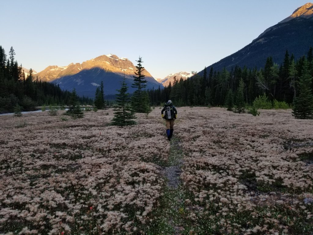
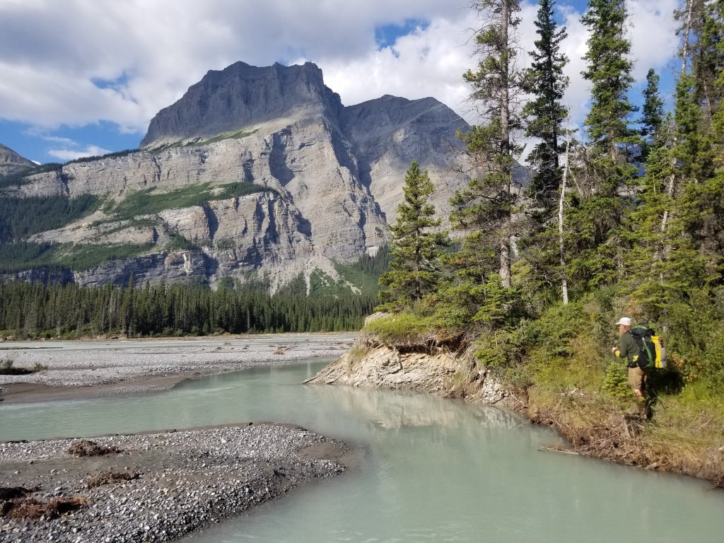
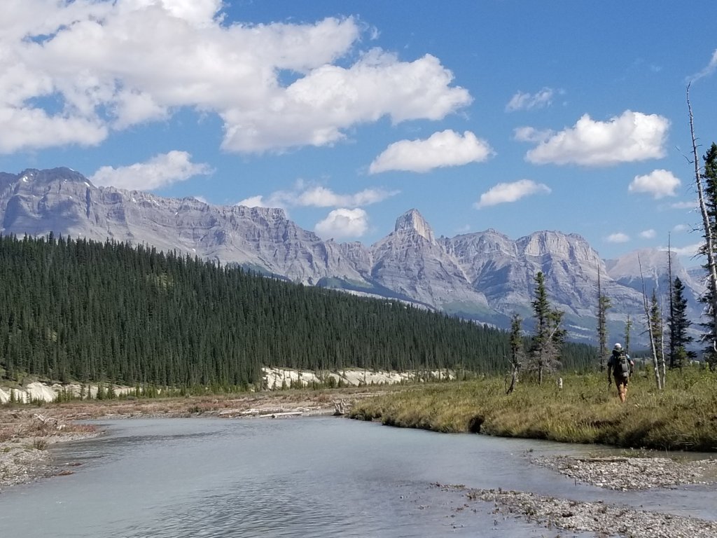
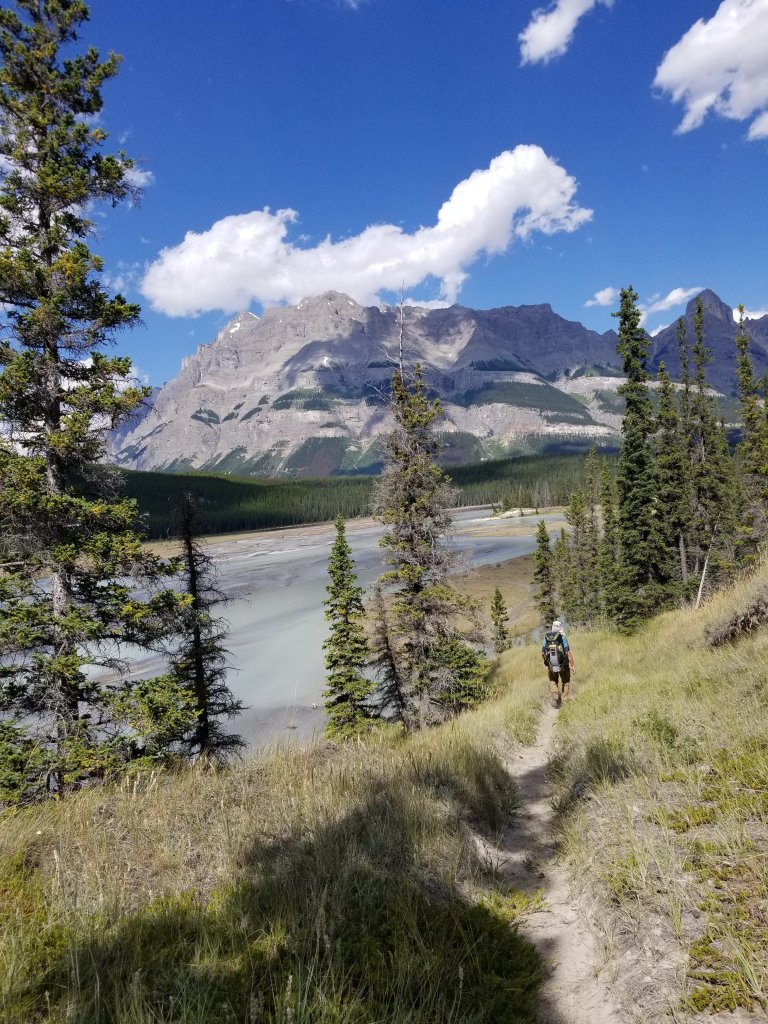
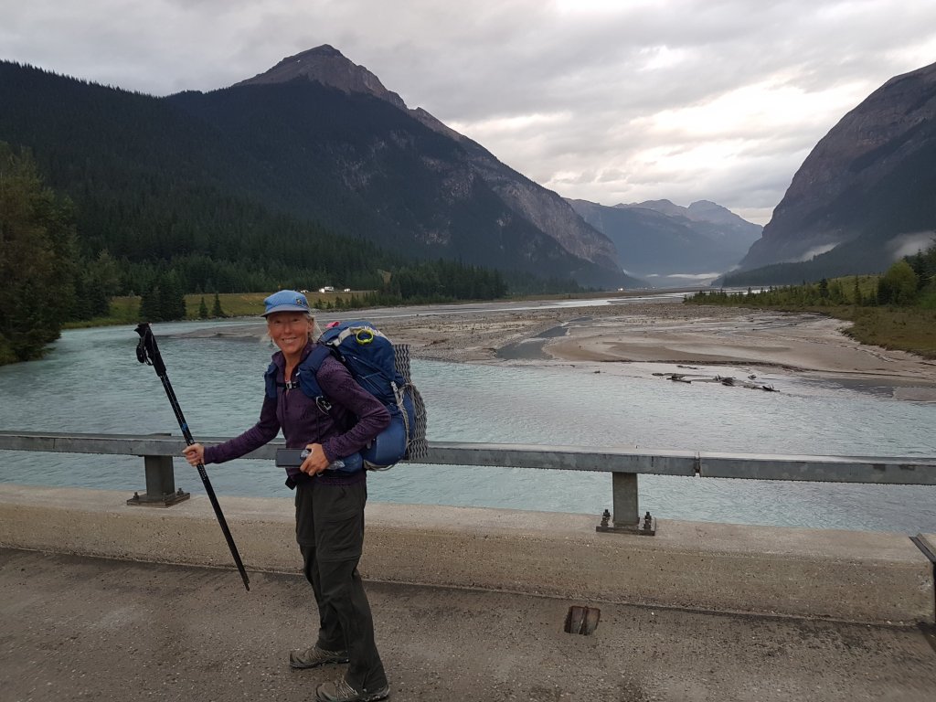
Then one powerfully expansive day the trail took us through and along the Howse River floodplain with its strong sense of wild freedom and serenity.